Enable Location

We need your location to show you interesting places around you

Discover nearby places

Find interesting locations and hidden gems around you

Precise directions

Get accurate directions and distances to places

Your location is never shared with other users. It's only used when you tap the location button.

Atkinson County

Log in to your account

Start exploring — it's free

Trusted by 63,630 travelers worldwide

Continue with Google
Continue with Apple
or

We will send you a code to connect

By continuing, you accept our Terms and Conditions and our Privacy Policy

Check your inbox

We've sent a pincode in your inbox. Please enter the code below.

Atkinson County
Discussion Reviews 1 Photos
500+ Popularity

Atkinson County, Rural county in Georgia, United States.

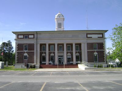
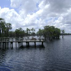
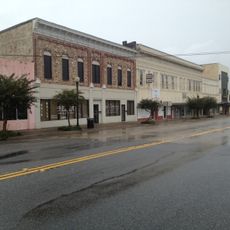
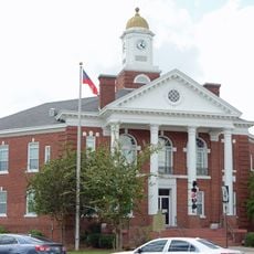
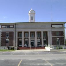
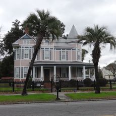
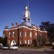
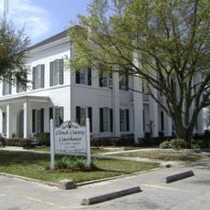
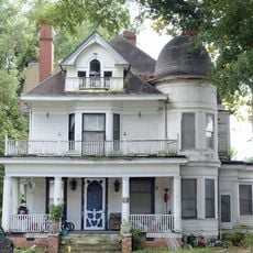
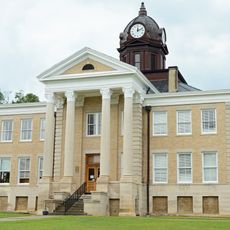
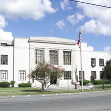
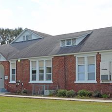
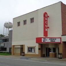
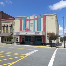
Atkinson County is a rural county in southern Georgia covering approximately 890 square kilometers of forests, farmland, and residential communities. Pearson serves as the county seat, providing governmental services and local businesses for residents throughout the area.

The Georgia State Legislature established this county on August 15, 1917, by combining portions of Coffee and Irwin counties. This creation formed a new administrative region for the agricultural landscape.

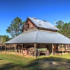
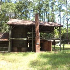
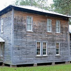
Agriculture shapes daily life here, with farmers growing peanuts and corn while maintaining close ties within their tight-knit communities.

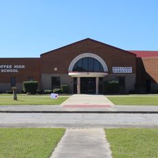
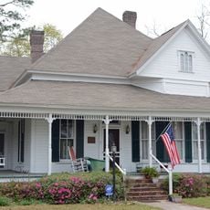
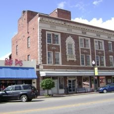
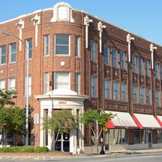
Most services and amenities are concentrated in Pearson, where you can find restaurants, shops, and government offices. Exploring other areas requires a car, as distances between communities are significant.

The county maintains one of the lowest population densities in Georgia, preserving its agricultural character. This sparse settlement pattern allows large stretches of contiguous farmland and forests.

The community of curious travelers

AroundUs brings together thousands of curated places, local tips, and hidden gems, enriched daily by 60,000 contributors worldwide.

Start exploring
Location
Inception
August 15, 1917
Capital city
Pearson
Shares border with
Coffee County, Clinch County, Lanier County, Ware County, Berrien County
GPS coordinates
31.29000,-82.87000
Latest update
December 14, 2025 20:25
Around this place
Coffee High School
United States of America

Coffee High School

29.2 km
General Coffee State Park
United States of America

General Coffee State Park

26.7 km
Banks Lake National Wildlife Refuge
United States of America

Banks Lake National Wildlife Refuge

38.8 km
McCranie's Turpentine Still
United States of America

McCranie's Turpentine Still

20.2 km
William G. Harrison House
United States of America

William G. Harrison House

37.6 km
First African Baptist Church and Parsonage
United States of America

First African Baptist Church and Parsonage

50.9 km
United States Post Office and Courthouse
United States of America

United States Post Office and Courthouse

49.2 km
Downtown Waycross Historic District
United States of America

Downtown Waycross Historic District

49.4 km
Bacon County Courthouse
United States of America

Bacon County Courthouse

47.7 km
Atkinson County Courthouse
United States of America

Atkinson County Courthouse

1.8 km
Waycross Historic District
United States of America

Waycross Historic District

50 km
Berrien County Courthouse
United States of America

Berrien County Courthouse

37.6 km
Ocilla Public School
United States of America

Ocilla Public School

49.8 km
Bacon County Elementary School
United States of America

Bacon County Elementary School

48 km
Clinch County Courthouse
United States of America

Clinch County Courthouse

30.5 km
Lonnie A. Pope House
United States of America

Lonnie A. Pope House

24.6 km
Alapaha Colored School
United States of America

Alapaha Colored School

35.1 km
Irwin County Courthouse
United States of America

Irwin County Courthouse

49.4 km
SOWEGA Building
United States of America

SOWEGA Building

55.4 km
Union Banking Company Building
United States of America

Union Banking Company Building

24.5 km
Cook County Courthouse
United States of America

Cook County Courthouse

55.5 km
Downtown Douglas Historic District
United States of America

Downtown Douglas Historic District

24.2 km
Eleventh District A & M School-South Georgia College Historic District
United States of America

Eleventh District A & M School-South Georgia College Historic District

22.9 km
Manor School
United States of America

Manor School

34.9 km
Lyric Theatre
United States of America

Lyric Theatre

49.3 km
Bacon Theatre
United States of America

Bacon Theatre

46.2 km
Ritz Theatre
United States of America

Ritz Theatre

49.3 km
Martin Centre
United States of America

Martin Centre

24.3 km
Show the full map
Reviews
Share your experience

No review yet

Discussions
Start a discussion...

No discussion yet

Administrative divisions
« Atkinson County - Rural county in Georgia, United States » is provided by Around Us (aroundus.com). Images and texts are derived from Wikimedia project under a Creative Commons license. You are allowed to copy, distribute, and modify copies of this page, under the conditions set by the license, as long as this note is clearly visible.

Discover hidden gems everywhere you go!

From secret cafés to breathtaking viewpoints, skip the crowded tourist spots and find places that match your style. Our app makes it easy with voice search, smart filtering, route optimization, and insider tips from travelers worldwide. Download now for the complete mobile experience.

Around Us App Screenshot

A unique approach to discovering new places

Le Figaro

All the places worth exploring

France Info

A tailor-made excursion in just a few clicks

20 Minutes

Around Us
Travel Guide & Maps
Download

Send to your phone

QR Code
1

Open the camera app on your mobile.

2

Point at the QR code with your camera. A notification will appear.

3

Tap the notification to open the link.