Enable Location

We need your location to show you interesting places around you

Discover nearby places

Find interesting locations and hidden gems around you

Precise directions

Get accurate directions and distances to places

Your location is never shared with other users. It's only used when you tap the location button.

Macon County

Log in to your account

Start exploring — it's free

Trusted by 62,564 travelers worldwide

Continue with Google
Continue with Apple
or

We will send you a code to connect

By continuing, you accept our Terms and Conditions and our Privacy Policy

Check your inbox

We've sent a pincode in your inbox. Please enter the code below.

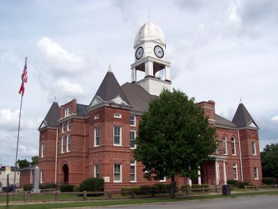
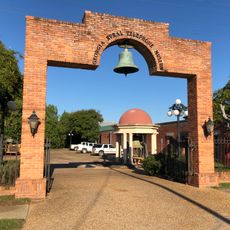
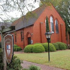
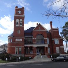
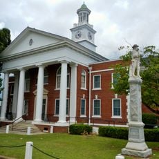
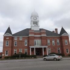
Macon County, Administrative division in Georgia, United States.

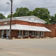
Macon County is an administrative division in Georgia that encompasses several communities including the City of Tuskegee, Town of Shorter, Notasulga, and Franklin. The county covers a region in east-central Georgia with a mix of urban and rural areas.

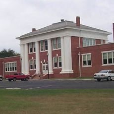
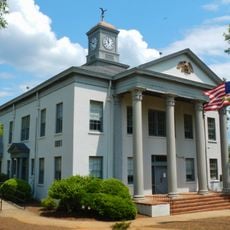
The county was established to serve the administrative needs of its growing communities and local residents. Over time, it developed into a regional center for managing local government services and public affairs.

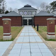
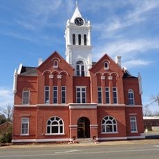
The county government promotes active community participation through regular town halls, public meetings, and direct involvement in local development initiatives.

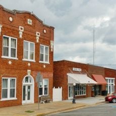
County services are available through the central office on West Main Street, where residents can handle vehicle registration and property matters. Modern kiosk systems also allow residents to process vehicle registration in a streamlined way.

The county implements a Tag Kiosk Program that modernizes vehicle registration processes while maintaining traditional service methods for all residents.

The community of curious travelers

AroundUs brings together thousands of curated places, local tips, and hidden gems, enriched daily by 60,000 contributors worldwide.

Start exploring
Location
Inception
December 14, 1837
Capital city
Oglethorpe
Shares border with
Peach County, Houston County, Dooly County, Sumter County, Schley County, Taylor County
GPS coordinates
32.35000,-84.04000
Latest update
December 7, 2025 10:06
Around this place
Jimmy Carter Peanut Statue
United States of America

Jimmy Carter Peanut Statue

47.7 km
Pasaquan
United States of America

Pasaquan

50.9 km
Jimmy Carter National Historical Park
United States of America

Jimmy Carter National Historical Park

51.6 km
Windsor Hotel
United States of America

Windsor Hotel

35.9 km
Andersonville National Historic Site
United States of America

Andersonville National Historic Site

19.1 km
Massee Lane Gardens
United States of America

Massee Lane Gardens

19.7 km
Auchumpkee Creek Covered Bridge
United States of America

Auchumpkee Creek Covered Bridge

48.6 km
Georgia Rural Telephone Museum
United States of America

Georgia Rural Telephone Museum

44.1 km
Fort Perry
United States of America

Fort Perry

49.5 km
Calvary Episcopal Church (Americus, Georgia)
United States of America

Calvary Episcopal Church (Americus, Georgia)

36.2 km
Dooly County Courthouse
United States of America

Dooly County Courthouse

36.8 km
Taylor County Courthouse
United States of America

Taylor County Courthouse

29.6 km
Crawford County Courthouse
United States of America

Crawford County Courthouse

41.9 km
Cordele Commercial Historic District
United States of America

Cordele Commercial Historic District

48.9 km
Macon County Courthouse
United States of America

Macon County Courthouse

6.6 km
Leonard–Akin House
United States of America

Leonard–Akin House

37.1 km
Peach County Courthouse
United States of America

Peach County Courthouse

26.8 km
Butler Downtown Historic District
United States of America

Butler Downtown Historic District

29.6 km
Marion County Courthouse
United States of America

Marion County Courthouse

45.1 km
Liberty Hall Plantation
United States of America

Liberty Hall Plantation

46.9 km
Old Marion County Courthouse
United States of America

Old Marion County Courthouse

37.8 km
Schley County Courthouse
United States of America

Schley County Courthouse

28.3 km
Lilly Historic District
United States of America

Lilly Historic District

27.1 km
Rigby's Water World
United States of America

Rigby's Water World

39.8 km
Lockhart–Cosby Plantation
United States of America

Lockhart–Cosby Plantation

45.7 km
National Prisoner of War Museum
United States of America

National Prisoner of War Museum

18.9 km
Austin Theater
United States of America

Austin Theater

26.8 km
Americus Historic District
United States of America

Americus Historic District

36.4 km
Show the full map
« Macon County - Administrative division in Georgia, United States » is provided by Around Us (aroundus.com). Images and texts are derived from Wikimedia project under a Creative Commons license. You are allowed to copy, distribute, and modify copies of this page, under the conditions set by the license, as long as this note is clearly visible.

Discover hidden gems everywhere you go!

From secret cafés to breathtaking viewpoints, skip the crowded tourist spots and find places that match your style. Our app makes it easy with voice search, smart filtering, route optimization, and insider tips from travelers worldwide. Download now for the complete mobile experience.

Around Us App Screenshot

A unique approach to discovering new places

Le Figaro

All the places worth exploring

France Info

A tailor-made excursion in just a few clicks

20 Minutes

Around Us
Travel Guide & Maps
Download

Send to your phone

QR Code
1

Open the camera app on your mobile.

2

Point at the QR code with your camera. A notification will appear.

3

Tap the notification to open the link.