Enable Location

We need your location to show you interesting places around you

Discover nearby places

Find interesting locations and hidden gems around you

Precise directions

Get accurate directions and distances to places

Your location is never shared with other users. It's only used when you tap the location button.

Forsyth County

Log in to your account

Start exploring — it's free

Trusted by 62,043 travelers worldwide

Continue with Google
Continue with Apple
or

We will send you a code to connect

By continuing, you accept our Terms and Conditions and our Privacy Policy

Check your inbox

We've sent a pincode in your inbox. Please enter the code below.

Forsyth County, Administrative county in Georgia, United States

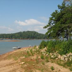
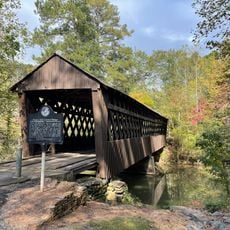
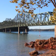
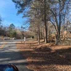
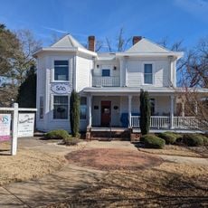
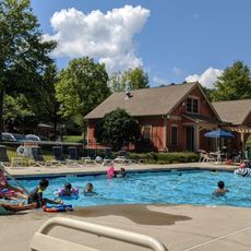
Forsyth County is an administrative district in northeastern Georgia that includes suburban neighborhoods and natural areas with several lakes. The territory combines residential settlements with green spaces and waterways crossed by walking trails.

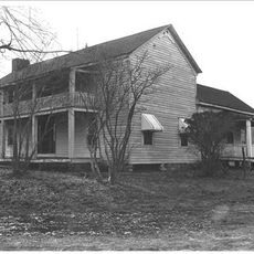
The county was founded in 1832 and named after a statesman who served as Secretary of State under two presidents. The following decades brought agricultural development, while the late 20th century marked the shift toward a predominantly urban population structure.

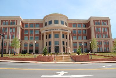
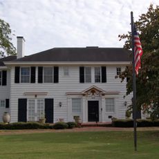
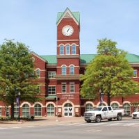
The county takes its name from John Forsyth, a former governor whose political career shaped the 19th century. Today visitors notice mainly the modern infrastructure and growing settlements that define everyday life and make the transformation of the area visible.

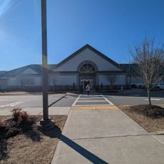
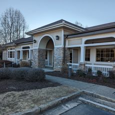
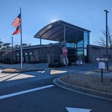
Visitors reach the different parts of the county through a road network that includes main arteries and local connections. Most public facilities and parks remain accessible daily, with individual offices keeping different hours.

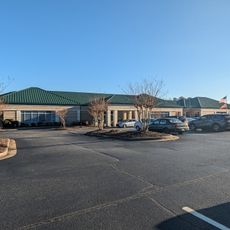
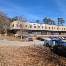
The region attracted numerous new residents in recent decades, making it one of the fastest growing areas in the country. This demographic shift changed the landscape considerably and led to the emergence of new residential neighborhoods and commercial centers in formerly rural areas.

The community of curious travelers

AroundUs brings together thousands of curated places, local tips, and hidden gems, enriched daily by 60,000 contributors worldwide.

Start exploring
Location
Inception
December 3, 1832
Capital city
Cumming
Shares border with
Dawson County, Hall County, Gwinnett County, Fulton County, Cherokee County
GPS coordinates
34.22000,-84.13000
Latest update
December 14, 2025 23:42
Around this place
Lake Lanier
United States of America

Lake Lanier

16.7 km
Browns Bridge Community Church
United States of America

Browns Bridge Community Church

5.9 km
Spaceship Earth
United States of America

Spaceship Earth

11.7 km
Pool's Mill Covered Bridge
United States of America

Pool's Mill Covered Bridge

13 km
United States of America

Gwinnett Environmental & Heritage Center

20.8 km
Browns Bridge
United States of America

Browns Bridge

17.1 km
Bowman-Pirkle House
United States of America

Bowman-Pirkle House

18.3 km
John Quincy Allen House
United States of America

John Quincy Allen House

16.1 km
Cumming Bandstand
United States of America

Cumming Bandstand

1.7 km
Bona Allen Shoe and Horse Collar Factory
United States of America

Bona Allen Shoe and Horse Collar Factory

16.1 km
United States of America

Sugar Hill Art Gallery and History Museum

15.2 km
Sharon Forks Library
United States of America

Sharon Forks Library

11.5 km
United States of America

Casteel Lake

19.6 km
Cumming Library
United States of America

Cumming Library

177 m
Van Pugh Park
United States of America

Van Pugh Park

13.4 km
United States of America

Reservoir 30-A

8.9 km
United States of America

Flowery Branch Commercial Historic District

19.2 km
United States of America

Museum of Buford

17 km
Sawnee Ballet Theatre
United States of America

Sawnee Ballet Theatre

1.8 km
Cumming Arts Center
United States of America

Cumming Arts Center

1.5 km
United States of America

Reservoir 21

9.6 km
Hampton Park Library
United States of America

Hampton Park Library

11.1 km
Post Road Library
United States of America

Post Road Library

8.5 km
United States of America

Settingdown Creek Reservoir Number Two

6.8 km
James Creek Swimming Pool Slides
United States of America

James Creek Swimming Pool Slides

10 km
United States of America

Sugar Hill Golf Club

11 km
United States of America

American Flag Egg (Eggstraordinary Outdoor Art Exhibit)

908 m
United States of America

Work of art

19.4 km
Show the full map
Administrative divisions
« Forsyth County - Administrative county in Georgia, United States » is provided by Around Us (aroundus.com). Images and texts are derived from Wikimedia project under a Creative Commons license. You are allowed to copy, distribute, and modify copies of this page, under the conditions set by the license, as long as this note is clearly visible.

Discover hidden gems everywhere you go!

From secret cafés to breathtaking viewpoints, skip the crowded tourist spots and find places that match your style. Our app makes it easy with voice search, smart filtering, route optimization, and insider tips from travelers worldwide. Download now for the complete mobile experience.

Around Us App Screenshot

A unique approach to discovering new places

Le Figaro

All the places worth exploring

France Info

A tailor-made excursion in just a few clicks

20 Minutes

Around Us
Travel Guide & Maps
Download

Send to your phone

QR Code
1

Open the camera app on your mobile.

2

Point at the QR code with your camera. A notification will appear.

3

Tap the notification to open the link.