Chest opened
+${chestReward.xp} XP
Explorer
NOUVEAU ×${chestReward.collectible.quantity}
tapez pour fermer

See the monuments around you in AR Open chests in the app

Around Us is built for your phone — point your camera at the streets and discover the monuments and places around you in augmented reality. Around Us is built for your phone — chests unlock when you walk, explore and capture nearby places.

•

Enable Location

We need your location to show you interesting places around you

Discover nearby places

Find interesting locations and hidden gems around you

Precise directions

Get accurate directions and distances to places

Your location is never shared with other users. It's only used when you tap the location button.

Lake Lanier

Log in to your account

Start exploring — it's free

Trusted by 92,130 travelers worldwide

Continue with Google
Continue with Apple
or

We will send you a code to connect

By continuing, you accept our Terms and Conditions and our Privacy Policy

Check your inbox

We've sent a pincode in your inbox. Please enter the code below.

Lake Lanier, Water reservoir in northern Georgia, United States

Lake Lanier is a 38,000-acre reservoir on the Chattahoochee River in northern Georgia, held back by Buford Dam. At full pool it reaches 1,071 feet above sea level and has 692 miles of shoreline, filling valleys in Hall, Forsyth, Dawson, Gwinnett and Lumpkin counties. Its open water reflects the sky, with wooded banks and a band of reddish-brown earth at the waterline.

Congress authorized the project in 1946, and ground was broken on Buford Dam on March 1, 1950; the dam was dedicated on October 9, 1957, and the lake reached full pool on August 1, 1958. Construction destroyed more than 50,000 acres of farmland and displaced over 250 families, 15 businesses and 20 cemeteries. The reservoir flooded the site of Oscarville, a Black community whose 1,098 residents had been expelled from Forsyth County in 1912.

The name honors Sidney Lanier, a 19th-century poet who grew up in Georgia and celebrated southern landscapes in his work. Today families from surrounding towns gather on weekends along the shore to fish, picnic, or take boats out on the water.

Boat ramps and swimming spots are scattered around the shoreline, some equipped with restrooms and picnic tables. The best time to visit runs from spring through fall, when the weather is warm enough for swimming and campsites remain open.

Beneath the surface lie foundations of old houses and bridges that sometimes become visible during low water levels. Divers report submerged roads and stone walls that recall the communities that once stood here.

The community of curious travelers

AroundUs brings together thousands of curated places, local tips, and hidden gems, enriched daily by 92,130 contributors worldwide.

Start exploring
Location
Location
Inception
1956
GPS coordinates
34.24000,-83.95000
Latest update
October 21, 2026 15:38
Around this place
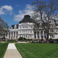
Brenau University
United States of America

Brenau University

8.7 mi
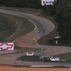
Road Atlanta
United States of America

Road Atlanta

9.9 mi
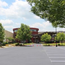
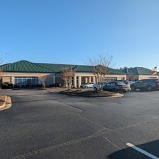
Browns Bridge Community Church
United States of America

Browns Bridge Community Church

8 mi
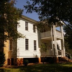
Elisha Winn House
United States of America

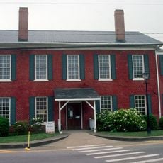
Elisha Winn House

15.2 mi
Spaceship Earth
United States of America

Spaceship Earth

17.6 mi
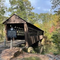
Pool's Mill Covered Bridge
United States of America

Pool's Mill Covered Bridge

17.1 mi
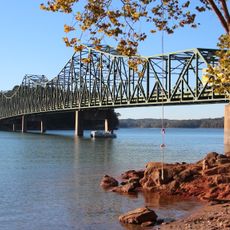
Browns Bridge
United States of America

Browns Bridge

1.5 mi
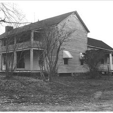
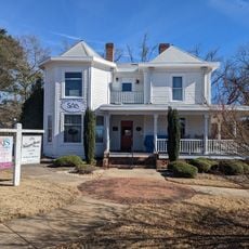
Bowman-Pirkle House
United States of America

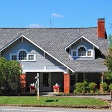
Bowman-Pirkle House

6.7 mi
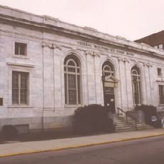
Federal Building and U.S. Courthouse
United States of America

Federal Building and U.S. Courthouse

8.2 mi
Dawson County Jail
United States of America

Dawson County Jail

15.9 mi
Gainesville Commercial Historic District
United States of America

Gainesville Commercial Historic District

8.1 mi
Dawsonville Pool Room
United States of America

Dawsonville Pool Room

15.8 mi
John Quincy Allen House
United States of America

John Quincy Allen House

8.6 mi
Dawson County Courthouse
United States of America

Dawson County Courthouse

15.8 mi
Boyd and Sallie Gilleland House
United States of America

Boyd and Sallie Gilleland House

15.6 mi
Jackson Building
United States of America

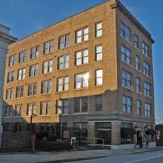
Jackson Building

8.2 mi
Beulah Rucker House-School
United States of America

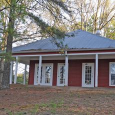
Beulah Rucker House-School

9.7 mi
Cumming Bandstand
United States of America

Cumming Bandstand

11.1 mi
Gillsville Historic District
United States of America

Gillsville Historic District

18.5 mi
Old Hall County Courthouse
United States of America

Old Hall County Courthouse

8.2 mi
Candler Street School
United States of America

Candler Street School

8.5 mi
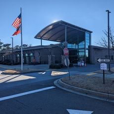
Sharon Forks Library
United States of America

Sharon Forks Library

14.5 mi
Cumming Library
United States of America

Cumming Library

10.5 mi
Van Pugh Park
United States of America

Van Pugh Park

4.5 mi
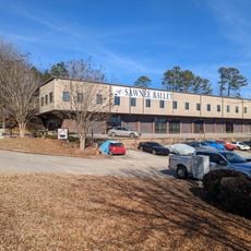
Sawnee Ballet Theatre
United States of America

Sawnee Ballet Theatre

11.5 mi
Cumming Arts Center
United States of America

Cumming Arts Center

10.9 mi
Post Road Library
United States of America

Post Road Library

15.7 mi
Hampton Park Library
United States of America

Hampton Park Library

8.1 mi
Show the full map
Reviews
Share your experience

No review yet

Discussions
Start a discussion...

No discussion yet

« Lake Lanier - Water reservoir in northern Georgia, United States » is provided by Around Us (aroundus.com). Images and texts are derived from Wikimedia project under a Creative Commons license. You are allowed to copy, distribute, and modify copies of this page, under the conditions set by the license, as long as this note is clearly visible.

Discover hidden gems everywhere you go!

From secret cafés to breathtaking viewpoints, skip the crowded tourist spots and find places that match your style. Our app makes it easy with voice search, smart filtering, route optimization, and insider tips from travelers worldwide. Download now for the complete mobile experience.
Around Us App Screenshot
❝

A unique approach to discovering new places❞

— Le Figaro

❝

All the places worth exploring❞

— France Info

❝

A tailor-made excursion in just a few clicks❞

— 20 Minutes

Around Us
Travel Guide & Maps
Download

Send to your phone

QR Code
1

Open the camera app on your mobile.

2

Point at the QR code with your camera. A notification will appear.

3

Tap the notification to open the link.