Cherokee County, County administrative division in Atlanta Metropolitan Area, Georgia, US.
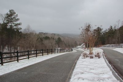
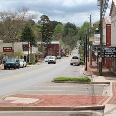
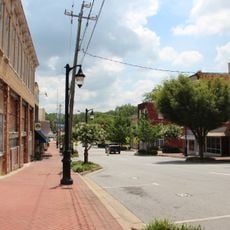
Cherokee County is an administrative division in the Atlanta metropolitan area that stretches from Lake Allatoona shores to the northern Georgia mountains. It combines urban centers with rural areas and varied terrain throughout its expanse.
Cherokee County was established on December 26, 1831, and named after the Cherokee people who lived on this land before their forced removal. The name reflects the region's original inhabitants.
The school system shapes community life here, with the Cherokee County School District serving students through both public and private educational paths.
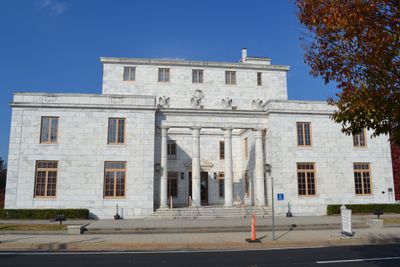
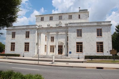
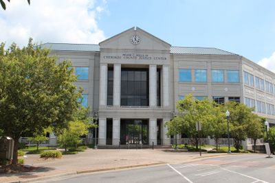
The county maintains administrative offices and service locations throughout the region, open during regular business hours on weekdays. Visitors can find local services and information at multiple sites distributed across the area.
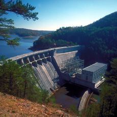
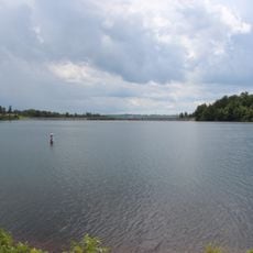
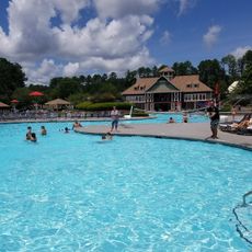
Lake Allatoona is a large water body forming part of the county's western boundary and offering water recreation and outdoor activity zones. The lake shapes the landscape and creates spaces for leisure activities.
The community of curious travelers
AroundUs brings together thousands of curated places, local tips, and hidden gems, enriched daily by 60,000 contributors worldwide.