Enable Location

We need your location to show you interesting places around you

Discover nearby places

Find interesting locations and hidden gems around you

Precise directions

Get accurate directions and distances to places

Your location is never shared with other users. It's only used when you tap the location button.

Bulloch County

Log in to your account

Start exploring — it's free

Trusted by 63,686 travelers worldwide

Continue with Google
Continue with Apple
or

We will send you a code to connect

By continuing, you accept our Terms and Conditions and our Privacy Policy

Check your inbox

We've sent a pincode in your inbox. Please enter the code below.

Discussion Reviews 1 Photos
22.2k Popularity

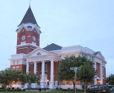
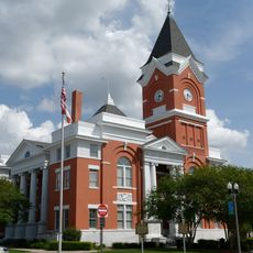
Bulloch County, County administrative division in Georgia, US

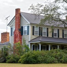
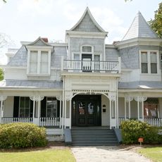
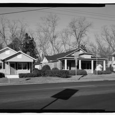
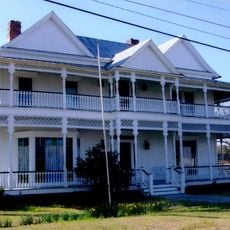
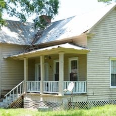
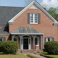
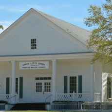
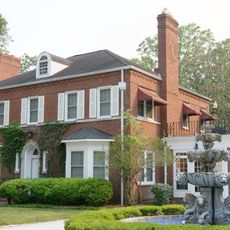
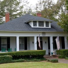
Bulloch County is an administrative division in southeastern Georgia with mostly flat land and some hills in its northern and central areas. The county contains residential communities, farmland, and woodlands that make up its landscape.

The county was established in 1796 and named after Archibald Bulloch, Georgia's first provincial governor during the American Revolution. This historical connection ties the region to the early days of American independence.

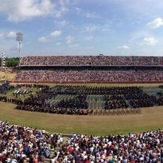
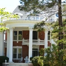
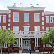
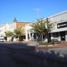
Georgia Southern University enriches the county's educational landscape, bringing academic programs and research opportunities to the Statesboro community.

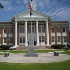
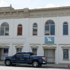
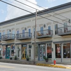
Most attractions and services in the area are accessible by car due to the road network connecting communities throughout the region. Visitors should check with local information centers in towns like Statesboro for details about specific sites and facilities.

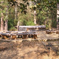
The Ogeechee River runs along the county's borders and creates natural habitats with cypress and longleaf pine forests. These river landscapes offer interesting natural experiences for visitors wanting to explore the local environment.

The community of curious travelers

AroundUs brings together thousands of curated places, local tips, and hidden gems, enriched daily by 60,000 contributors worldwide.

Start exploring
Location
Inception
February 8, 1796
Capital city
Statesboro
Shares border with
Screven County, Candler County, Evans County, Effingham County, Bryan County, Emanuel County, Jenkins County
GPS coordinates
32.39000,-81.74000
Latest update
December 23, 2025 04:21
Around this place
Paulson Stadium
United States of America

Paulson Stadium

4.7 km
U.S. National Tick Collection
United States of America

U.S. National Tick Collection

4.8 km
Georgia Southern Botanical Garden
United States of America

Georgia Southern Botanical Garden

4.7 km
Bulloch County Courthouse
United States of America

Bulloch County Courthouse

7.7 km
Donehoo-Brannen House
United States of America

Donehoo-Brannen House

6.6 km
Mitchell J. Green Plantation
United States of America

Mitchell J. Green Plantation

20 km
Dr. Madison Monroe Holland House
United States of America

Dr. Madison Monroe Holland House

7.6 km
Jaeckel Hotel
United States of America

Jaeckel Hotel

7.6 km
South Main Street Residential Historic District
United States of America

South Main Street Residential Historic District

6.9 km
George W. DeLoach House
United States of America

George W. DeLoach House

31.8 km
Evans County Courthouse
United States of America

Evans County Courthouse

29.9 km
Harris-Murrow-Trowell House
United States of America

Harris-Murrow-Trowell House

24.3 km
United States of America

Statesboro City Hall and Fire Station

7.7 km
James Alonzo Brannen House
United States of America

James Alonzo Brannen House

7.5 km
Upper Lott's Creek Primitive Baptist Church and Cemetery
United States of America

Upper Lott's Creek Primitive Baptist Church and Cemetery

24.5 km
East Main Street Commercial Historic District
United States of America

East Main Street Commercial Historic District

7.7 km
Savannah Avenue Historic District
United States of America

Savannah Avenue Historic District

6.8 km
United States of America

Sol Akins Farm

6.2 km
North Main Street Commercial Historic District
United States of America

North Main Street Commercial Historic District

7.7 km
West Main Street Commercial Historic District
United States of America

West Main Street Commercial Historic District

7.8 km
Dr. James W. Daniel House
United States of America

Dr. James W. Daniel House

29.6 km
United States of America

Claxton Bridge

26.8 km
United States of America

Georgia Southern University Museum

5.7 km
United States of America

Brooks Instruments Company Pond

18.5 km
United States of America

Austin Pond

24.2 km
Emma Kelly Theatre
United States of America

Emma Kelly Theatre

7.7 km
United States of America

West Main Street Commercial Historic District

7.8 km
United States of America

Robinson Pond

12.1 km
Show the full map
Reviews
Share your experience

No review yet

Discussions
Start a discussion...

No discussion yet

« Bulloch County - County administrative division in Georgia, US » is provided by Around Us (aroundus.com). Images and texts are derived from Wikimedia project under a Creative Commons license. You are allowed to copy, distribute, and modify copies of this page, under the conditions set by the license, as long as this note is clearly visible.

Discover hidden gems everywhere you go!

From secret cafés to breathtaking viewpoints, skip the crowded tourist spots and find places that match your style. Our app makes it easy with voice search, smart filtering, route optimization, and insider tips from travelers worldwide. Download now for the complete mobile experience.

Around Us App Screenshot

A unique approach to discovering new places

Le Figaro

All the places worth exploring

France Info

A tailor-made excursion in just a few clicks

20 Minutes

Around Us
Travel Guide & Maps
Download

Send to your phone

QR Code
1

Open the camera app on your mobile.

2

Point at the QR code with your camera. A notification will appear.

3

Tap the notification to open the link.