Enable Location

We need your location to show you interesting places around you

Discover nearby places

Find interesting locations and hidden gems around you

Precise directions

Get accurate directions and distances to places

Your location is never shared with other users. It's only used when you tap the location button.

Baldwin County

Log in to your account

Start exploring — it's free

Trusted by 63,674 travelers worldwide

Continue with Google
Continue with Apple
or

We will send you a code to connect

By continuing, you accept our Terms and Conditions and our Privacy Policy

Check your inbox

We've sent a pincode in your inbox. Please enter the code below.

Discussion Reviews 1 Photos
20.2k Popularity

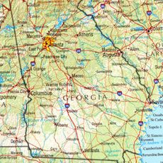
Baldwin County, Administrative division in central Georgia, United States

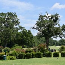
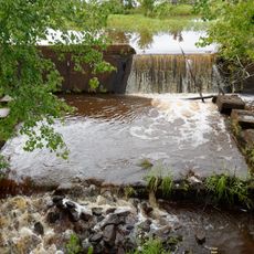
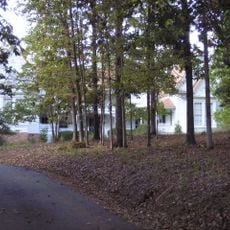
Baldwin County is an administrative division in central Georgia that includes several different landscape types across its area. The terrain varies from rolling hills in the north to flatter plains toward the south.

The area was established in 1803 and named after Abraham Baldwin, a signer of the United States Constitution. This founding made it an important administrative center in Georgia.

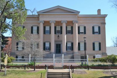
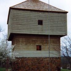
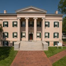
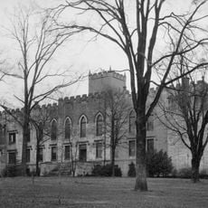
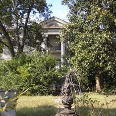
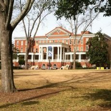
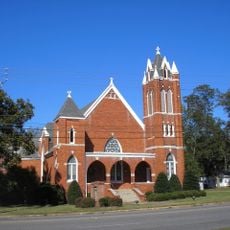
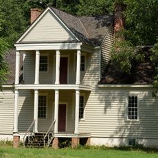
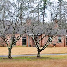
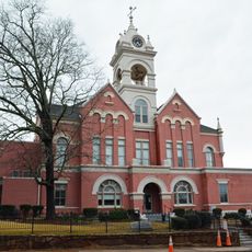
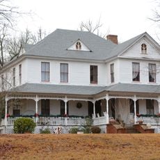
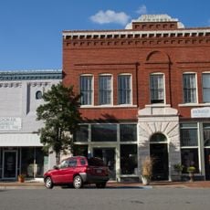
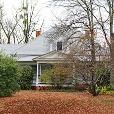
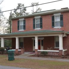
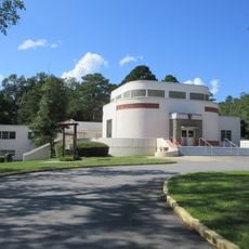
Milledgeville, the county seat, shows wide streets and historic buildings from earlier times that reflect how people once lived and built their communities. The town is home to a university that shapes daily life and brings energy to the area.

The region is shaped by various towns and communities, with Milledgeville serving as its center and easy to navigate from. Visitors traveling within the area should be prepared for changing landscapes as they move between different sections.

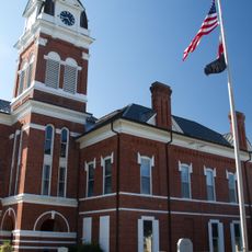
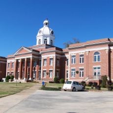
Milledgeville, at the heart of the county, was designed as a planned city and stands alongside Washington D.C. and Indianapolis as one of the few capitals built this way. The regular street layout and foundational design stem from this deliberate planning.

The community of curious travelers

AroundUs brings together thousands of curated places, local tips, and hidden gems, enriched daily by 60,000 contributors worldwide.

Start exploring
Location
Inception
May 11, 1803
Capital city
Milledgeville
Shares border with
Putnam County, Hancock County, Washington County, Wilkinson County, Jones County
GPS coordinates
33.07000,-83.25000
Latest update
December 7, 2025 10:06
Around this place
Georgia in the American Civil War

Georgia in the American Civil War

24.6 km
Ocmulgee Mounds National Historical Park
United States of America

Ocmulgee Mounds National Historical Park

41.8 km
Andalusia
United States of America

Andalusia

6.4 km
Fort Benjamin Hawkins
United States of America

Fort Benjamin Hawkins

41.8 km
Old Governor's Mansion
United States of America

Old Governor's Mansion

2 km
Old State Capitol
United States of America

Old State Capitol

2.5 km
Samuel Rockwell House
United States of America

Samuel Rockwell House

2.5 km
Atkinson Hall, Georgia College
United States of America

Atkinson Hall, Georgia College

2.2 km
Bowden Golf Course
United States of America

Bowden Golf Course

37.7 km
City Cemetery
United States of America

City Cemetery

41.8 km
Milledgeville Historic District
United States of America

Milledgeville Historic District

2.2 km
Tennille Baptist Church
United States of America

Tennille Baptist Church

43.5 km
Myrick's Mill
United States of America

Myrick's Mill

33.7 km
Joseph and Mary Jane League House
United States of America

Joseph and Mary Jane League House

41.8 km
Cabaniss-Hanberry House
United States of America

Cabaniss-Hanberry House

28.3 km
Washington County Courthouse
United States of America

Washington County Courthouse

42 km
Tennille Banking Company Building
United States of America

Tennille Banking Company Building

43.6 km
Devereux-Coleman House
United States of America

Devereux-Coleman House

9.1 km
Herman and Allene Shaver House
United States of America

Herman and Allene Shaver House

33.2 km
Jones County Courthouse
United States of America

Jones County Courthouse

27.5 km
Lemuel and Mary James House
United States of America

Lemuel and Mary James House

23.8 km
Holt Brothers Banking Company Building
United States of America

Holt Brothers Banking Company Building

42.1 km
Eatonton Historic District
United States of America

Eatonton Historic District

31.3 km
Roberts-Bush-Roberts House
United States of America

Roberts-Bush-Roberts House

27.1 km
Warthen Historic District
United States of America

Warthen Historic District

41.7 km
Elam-Camp House
United States of America

Elam-Camp House

22.3 km
Maxwell Student Union
United States of America

Maxwell Student Union

2.1 km
Ocmulgee Mounds Visitor Center
United States of America

Ocmulgee Mounds Visitor Center

41.6 km
Show the full map
Reviews
Share your experience

No review yet

Discussions
Start a discussion...

No discussion yet

Administrative divisions
« Baldwin County - Administrative division in central Georgia, United States » is provided by Around Us (aroundus.com). Images and texts are derived from Wikimedia project under a Creative Commons license. You are allowed to copy, distribute, and modify copies of this page, under the conditions set by the license, as long as this note is clearly visible.

Discover hidden gems everywhere you go!

From secret cafés to breathtaking viewpoints, skip the crowded tourist spots and find places that match your style. Our app makes it easy with voice search, smart filtering, route optimization, and insider tips from travelers worldwide. Download now for the complete mobile experience.

Around Us App Screenshot

A unique approach to discovering new places

Le Figaro

All the places worth exploring

France Info

A tailor-made excursion in just a few clicks

20 Minutes

Around Us
Travel Guide & Maps
Download

Send to your phone

QR Code
1

Open the camera app on your mobile.

2

Point at the QR code with your camera. A notification will appear.

3

Tap the notification to open the link.