Chest opened
+${chestReward.xp} XP
Explorer
NOUVEAU ×${chestReward.collectible.quantity}
tapez pour fermer
Chest locked

Open chests in the app

Around Us is built for your phone — chests unlock when you walk, explore and capture nearby places.

Enable Location

We need your location to show you interesting places around you

Discover nearby places

Find interesting locations and hidden gems around you

Precise directions

Get accurate directions and distances to places

Your location is never shared with other users. It's only used when you tap the location button.

Pee Dee

Log in to your account

Start exploring — it's free

Trusted by 72,884 travelers worldwide

Continue with Google
Continue with Apple
or

We will send you a code to connect

By continuing, you accept our Terms and Conditions and our Privacy Policy

Check your inbox

We've sent a pincode in your inbox. Please enter the code below.

Pee Dee
Discussion Reviews 1 Photos
26.5k Popularity

Pee Dee, Settlement in northeastern South Carolina, United States.

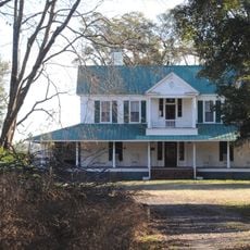
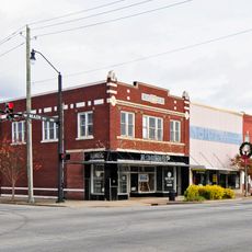
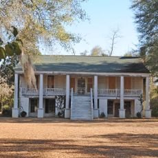
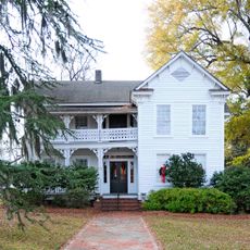
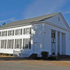
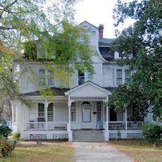
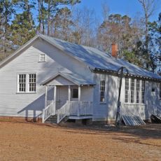
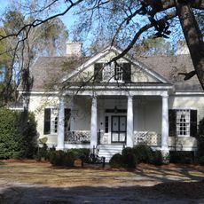
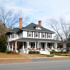
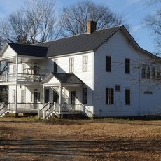
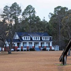
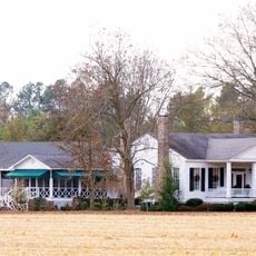
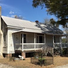
Pee Dee is a regional settlement spanning twelve counties along the Pee Dee River in South Carolina, combining farmland with residential areas. The region includes both rural farms and smaller town centers that together form the basic structure of this rural landscape.

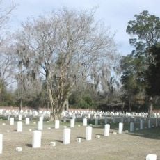
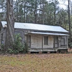
This area takes its name from the indigenous Pee Dee people who lived here before European settlement. During the colonial period, the region developed into an agricultural center as the river plains provided ideal conditions for farming.

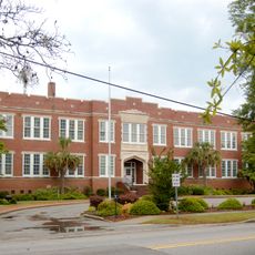
Multiple educational institutions, including Coastal Carolina University and Francis Marion University, serve the educational needs of residents across the region.

The region is accessible through local county offices that provide online services for residents. Visitors should check in advance which communities they plan to visit since the area covers a large territory.

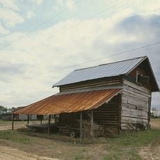
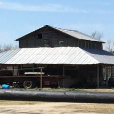
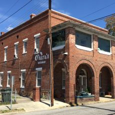
The territory divides into two contrasting zones: the inland area with farms growing tobacco, cotton, and soybeans, and coastal sections that include parts of the Grand Strand beaches. This combination makes the land both an agricultural region and a vacation destination.

The community of curious travelers

AroundUs brings together thousands of curated places, local tips, and hidden gems, enriched daily by 60,000 contributors worldwide.

Start exploring
Location
GPS coordinates
34.20580,-79.53920
Latest update
December 20, 2025 15:05
Around this place
Florence Center
United States of America

Florence Center

27.6 km
Florence National Cemetery
United States of America

Florence National Cemetery

20 km
Smith Tobacco Barn
United States of America

Smith Tobacco Barn

30.4 km
Cotton Press
United States of America

Cotton Press

14.8 km
Florence Public Library
United States of America

Florence Public Library

21.2 km
Roseville Plantation
United States of America

Roseville Plantation

16.9 km
Marion High School
United States of America

Marion High School

12.9 km
Dillon County Courthouse
United States of America

Dillon County Courthouse

28 km
Dillon Downtown Historic District
United States of America

Dillon Downtown Historic District

17.6 km
James W. Dillon House
United States of America

James W. Dillon House

28.1 km
Red Doe
United States of America

Red Doe

10.6 km
Latta Historic District No. 1
United States of America

Latta Historic District No. 1

17.8 km
Claussen House
United States of America

Claussen House

11.2 km
Poynor School
United States of America

Poynor School

20.9 km
Hopewell Presbyterian Church and Hopewell Cemetery
United States of America

Hopewell Presbyterian Church and Hopewell Cemetery

11.6 km
McMillan House
United States of America

McMillan House

17.4 km
Dillard Barn
United States of America

Dillard Barn

28.3 km
Florence Downtown Historic District
United States of America

Florence Downtown Historic District

20.9 km
Mt. Zion Rosenwald School
United States of America

Mt. Zion Rosenwald School

10 km
Bonnie Shade
United States of America

Bonnie Shade

23.6 km
Latta Historic District No. 2
United States of America

Latta Historic District No. 2

17.8 km
Blooming Grove
United States of America

Blooming Grove

17.5 km
Mullins Commercial Historic District
United States of America

Mullins Commercial Historic District

26.1 km
John Hayes Farmstead
United States of America

John Hayes Farmstead

14.7 km
U. S. Post Office
United States of America

U. S. Post Office

21.1 km
Gregg-Wallace Farm Tenant House
United States of America

Gregg-Wallace Farm Tenant House

10.4 km
Selkirk Farm
United States of America

Selkirk Farm

29.4 km
J.C. Teasley House
United States of America

J.C. Teasley House

26.2 km
Show the full map
Reviews
Share your experience

No review yet

Discussions
Start a discussion...

No discussion yet

« Pee Dee - Settlement in northeastern South Carolina, United States » is provided by Around Us (aroundus.com). Images and texts are derived from Wikimedia project under a Creative Commons license. You are allowed to copy, distribute, and modify copies of this page, under the conditions set by the license, as long as this note is clearly visible.

Discover hidden gems everywhere you go!

From secret cafés to breathtaking viewpoints, skip the crowded tourist spots and find places that match your style. Our app makes it easy with voice search, smart filtering, route optimization, and insider tips from travelers worldwide. Download now for the complete mobile experience.

Around Us App Screenshot

A unique approach to discovering new places

Le Figaro

All the places worth exploring

France Info

A tailor-made excursion in just a few clicks

20 Minutes

Around Us
Travel Guide & Maps
Download

Send to your phone

QR Code
1

Open the camera app on your mobile.

2

Point at the QR code with your camera. A notification will appear.

3

Tap the notification to open the link.