Chest opened
+${chestReward.xp} XP
Explorer
NOUVEAU ×${chestReward.collectible.quantity}
tapez pour fermer
Chest locked

Open chests in the app

Around Us is built for your phone — chests unlock when you walk, explore and capture nearby places.

Enable Location

We need your location to show you interesting places around you

Discover nearby places

Find interesting locations and hidden gems around you

Precise directions

Get accurate directions and distances to places

Your location is never shared with other users. It's only used when you tap the location button.

Eastover

Log in to your account

Start exploring — it's free

Trusted by 72,983 travelers worldwide

Continue with Google
Continue with Apple
or

We will send you a code to connect

By continuing, you accept our Terms and Conditions and our Privacy Policy

Check your inbox

We've sent a pincode in your inbox. Please enter the code below.

Discussion Reviews 1 Photos
14k Popularity

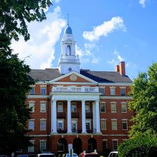
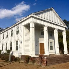
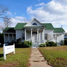
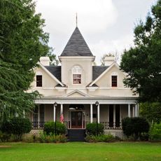
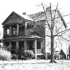
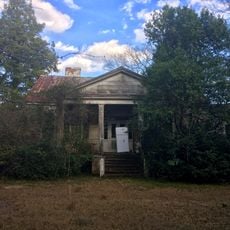
Eastover, Administrative division in Richland County, South Carolina, US

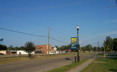
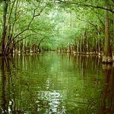
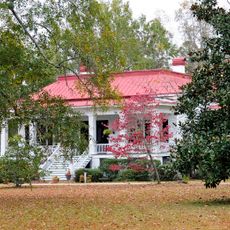
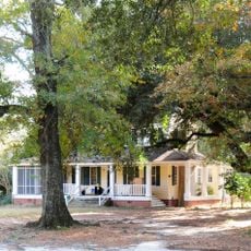
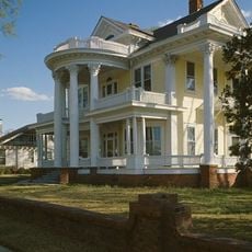
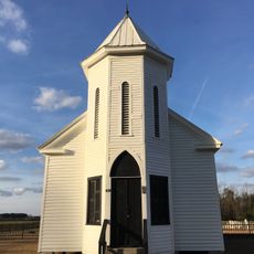
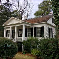
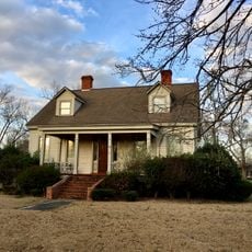
Eastover is an administrative division in Richland County, located in the central part of South Carolina east of the Columbia area. The community occupies a small land area within a mixed landscape of residential neighborhoods and industrial facilities.

Eastover was formally established in 1950 as an independent administrative unit, creating local governance structures. This founding enabled the community to direct its own development.

The population of 614 residents reflects a predominant African American community at 91.69 percent, creating a distinct social fabric.

Visitors can find information about local education through Richland County School District One, which serves multiple schools in the area. The location is accessible via local roads but functions more as a residential zone than a traditional visitor destination.

A major military base and a power generation facility shape the economic activity in this area. These two large installations have significantly influenced the community's development.

The community of curious travelers

AroundUs brings together thousands of curated places, local tips, and hidden gems, enriched daily by 60,000 contributors worldwide.

Start exploring
GPS coordinates
33.87711,-80.69226
Latest update
December 7, 2025 20:23
Around this place
Congaree National Park
United States of America

Congaree National Park

13.4 km
Millford Plantation
United States of America

Millford Plantation

20.3 km
Borough House Plantation
United States of America

Borough House Plantation

16.6 km
Poinsett State Park
United States of America

Poinsett State Park

16.2 km
Millwood
United States of America

Millwood

27.8 km
Strom Thurmond Federal Building and United States Courthouse
United States of America

Strom Thurmond Federal Building and United States Courthouse

27.5 km
Kensington Plantation House
United States of America

Kensington Plantation House

3.8 km
William Jennings Bryan Dorn Veterans Affairs Medical Center
United States of America

William Jennings Bryan Dorn Veterans Affairs Medical Center

27.2 km
Boykin Mill Complex
United States of America

Boykin Mill Complex

30.1 km
Midway Plantation
United States of America

Midway Plantation

22.5 km
Stateburg Historic District
United States of America

Stateburg Historic District

19.4 km
Good Hope Baptist Church
United States of America

Good Hope Baptist Church

7.2 km
Calhoun County Courthouse
United States of America

Calhoun County Courthouse

25.2 km
Oakland Plantation
United States of America

Oakland Plantation

21.3 km
High Hills of Santee Baptist Church
United States of America

High Hills of Santee Baptist Church

18.9 km
Col. Olin M. Dantzler House
United States of America

Col. Olin M. Dantzler House

25.2 km
David Houser House
United States of America

David Houser House

25.9 km
Puritan Farm
United States of America

Puritan Farm

26.4 km
Col. J.A. Banks House
United States of America

Col. J.A. Banks House

25.2 km
Calhoun County Library
United States of America

Calhoun County Library

24.6 km
Ensor-Keenan House
United States of America

Ensor-Keenan House

30.2 km
William Baker House
United States of America

William Baker House

28.6 km
Claudius Scott Cottage
United States of America

Claudius Scott Cottage

4.5 km
Richland Presbyterian Church
United States of America

Richland Presbyterian Church

3.8 km
Cooner's Cattle Mound
United States of America

Cooner's Cattle Mound

12.3 km
Dovillers-Manning-Magoffin House
United States of America

Dovillers-Manning-Magoffin House

30.2 km
John J. Kaminer House
United States of America

John J. Kaminer House

7.3 km
Palmetto Falls Water Park
United States of America

Palmetto Falls Water Park

27.2 km
Show the full map
Reviews
Share your experience

No review yet

Discussions
Start a discussion...

No discussion yet

« Eastover - Administrative division in Richland County, South Carolina, US » is provided by Around Us (aroundus.com). Images and texts are derived from Wikimedia project under a Creative Commons license. You are allowed to copy, distribute, and modify copies of this page, under the conditions set by the license, as long as this note is clearly visible.

Discover hidden gems everywhere you go!

From secret cafés to breathtaking viewpoints, skip the crowded tourist spots and find places that match your style. Our app makes it easy with voice search, smart filtering, route optimization, and insider tips from travelers worldwide. Download now for the complete mobile experience.

Around Us App Screenshot

A unique approach to discovering new places

Le Figaro

All the places worth exploring

France Info

A tailor-made excursion in just a few clicks

20 Minutes

Around Us
Travel Guide & Maps
Download

Send to your phone

QR Code
1

Open the camera app on your mobile.

2

Point at the QR code with your camera. A notification will appear.

3

Tap the notification to open the link.