Chest opened
+${chestReward.xp} XP
Explorer
NOUVEAU ×${chestReward.collectible.quantity}
tapez pour fermer
Chest locked

Open chests in the app

Around Us is built for your phone — chests unlock when you walk, explore and capture nearby places.

Enable Location

We need your location to show you interesting places around you

Discover nearby places

Find interesting locations and hidden gems around you

Precise directions

Get accurate directions and distances to places

Your location is never shared with other users. It's only used when you tap the location button.

Firebaugh

Log in to your account

Start exploring — it's free

Trusted by 72,891 travelers worldwide

Continue with Google
Continue with Apple
or

We will send you a code to connect

By continuing, you accept our Terms and Conditions and our Privacy Policy

Check your inbox

We've sent a pincode in your inbox. Please enter the code below.

Discussion Reviews 2 Photos
68.1k Popularity

Firebaugh, Agricultural city in San Joaquin Valley, California, US.

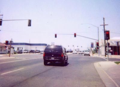
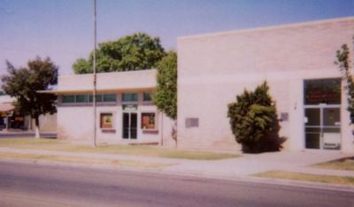
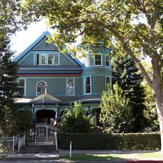
Firebaugh is a small town in the San Joaquin Valley of California, standing at about 150 feet (46 m) above sea level near the western bank of the San Joaquin River. The settlement consists of low buildings, wide streets, and open fields spreading around it.

Andrew D. Firebaugh opened a ferry crossing over the river in the 1850s, which drew the first settlers to the area. The town was officially incorporated in September 1914 and grew steadily through farming.

The town honors Andrew D. Firebaugh, who operated a ferry crossing here in the mid-19th century. Residents today work mainly in melon and fruit farming, which shapes the character of local shops and roadside stands.

State Route 33 runs directly through the town and connects it to other cities in the valley, making arrival straightforward. Gas stations and a small grocery store sit along the main road and offer basic supplies for travelers.

Dunkle Park hosts the annual Cantaloupe Round-Up Festival, celebrating the melon harvest each year. Visitors can taste regional dishes and join competitions centered around the fruit.

The community of curious travelers

AroundUs brings together thousands of curated places, local tips, and hidden gems, enriched daily by 60,000 contributors worldwide.

Start exploring
Location
Inception
September 17, 1914
Elevation above the sea
46 m
GPS coordinates
36.85889,-120.45611
Latest update
December 13, 2025 18:02
Around this place
Randall Fawcett House
United States of America

Randall Fawcett House

37.3 km
Fresno River Viaduct
United States of America

Fresno River Viaduct

40.4 km
Island Waterpark
United States of America

Island Waterpark

50 km
San Joaquin River Viaduct
United States of America

San Joaquin River Viaduct

46.7 km
Kearney Park
United States of America

Kearney Park

50.1 km
Tioga Hotel
United States of America

Tioga Hotel

49.4 km
United States of America

The Mainzer

49.5 km
Church of St. Joseph
United States of America

Church of St. Joseph

41.5 km
M. Young Botanic Garden
United States of America

M. Young Botanic Garden

38.4 km
Madera County Courthouse
United States of America

Madera County Courthouse

36.9 km
Leggett House
United States of America

Leggett House

49.7 km
Thomas H. Leggett House
United States of America

Thomas H. Leggett House

49.6 km
Bank of Los Banos Building
United States of America

Bank of Los Banos Building

41.4 km
Bank of Italy
United States of America

Bank of Italy

49.3 km
Maj. George Beecher Cook House
United States of America

Maj. George Beecher Cook House

49.7 km
Merced Theatre
United States of America

Merced Theatre

49.2 km
United States of America

Los Banos Reservoir

46.7 km
United States of America

Mendota Wildlife Area

22 km
United States of America

Wootten Park

37.8 km
United States of America

Little Panoche Reservoir

31.8 km
United States of America

Madera Municipal Golf Course

33 km
United States of America

Madera Golf and Country Club

39.2 km
United States of America

Pheasant Run Golf Club

35.3 km
United States of America

Riverside Golf Course

49.2 km
United States of America

Madera County Fairgrounds

36 km
United States of America

Multicultural Arts Center

49.5 km
United States of America

Sculpture, Work of art

46.8 km
United States of America

Work of art, sculpture

36.4 km
Show the full map
Reviews
Share your experience

No review yet

Discussions
Start a discussion...

No discussion yet

« Firebaugh - Agricultural city in San Joaquin Valley, California, US » is provided by Around Us (aroundus.com). Images and texts are derived from Wikimedia project under a Creative Commons license. You are allowed to copy, distribute, and modify copies of this page, under the conditions set by the license, as long as this note is clearly visible.

Discover hidden gems everywhere you go!

From secret cafés to breathtaking viewpoints, skip the crowded tourist spots and find places that match your style. Our app makes it easy with voice search, smart filtering, route optimization, and insider tips from travelers worldwide. Download now for the complete mobile experience.

Around Us App Screenshot

A unique approach to discovering new places

Le Figaro

All the places worth exploring

France Info

A tailor-made excursion in just a few clicks

20 Minutes

Around Us
Travel Guide & Maps
Download

Send to your phone

QR Code
1

Open the camera app on your mobile.

2

Point at the QR code with your camera. A notification will appear.

3

Tap the notification to open the link.