Martinez, County seat in Contra Costa County, California
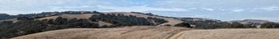
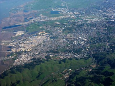
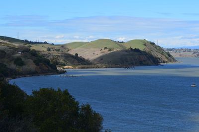
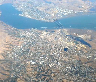
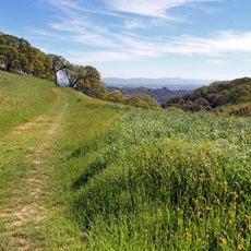
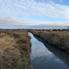
Martinez lies along the Carquinez Strait in the northern section of the San Francisco Bay Area, connecting residential areas with commercial and industrial zones. The city rolls across gentle hills that slope down to the water, offering access to waterfront paths and parks along the shore.
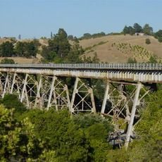
The settlement began in 1849 as a supply post during the California Gold Rush and later became the administrative seat of the county. Industrial operations, including refineries and shipping facilities, shaped the development of the city throughout the 20th century along the waterfront.
Residential areas spread across hills above the strait, and many residents commute to surrounding Bay Area cities. Local facilities such as libraries and community centers serve as gathering points for the different generations living here.
Visitors reach the center through several roads that branch off from the highway into town, and parking is available along main streets. Walking along the waterfront is comfortable during daylight hours in good weather, and many public facilities are within walking distance of each other.
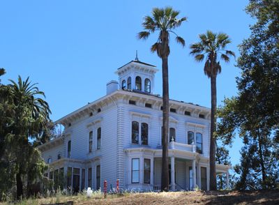
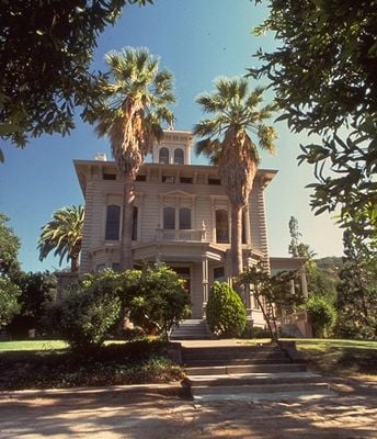
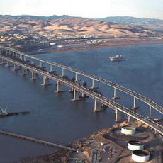
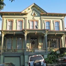
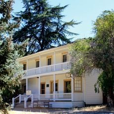
A historic ferry crossed the strait for decades, connecting the city to Benicia until bridges were constructed. The adobe building from the mid-1800s shows mud-brick construction once common across the region.
The community of curious travelers
AroundUs brings together thousands of curated places, local tips, and hidden gems, enriched daily by 60,000 contributors worldwide.