Benicia–Martinez Bridge, Road and railway bridges in Martinez, United States
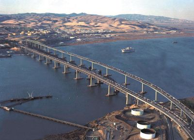
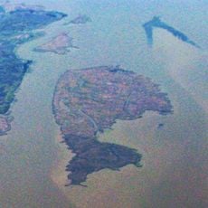
The Benicia–Martinez Bridge is a group of three parallel bridges crossing the Carquinez Strait in Northern California, including one rail bridge and two road bridges. The entire system extends roughly 2.7 kilometers and links the two cities on opposite shores of the strait.
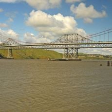
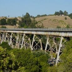
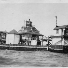
The rail bridge was built in 1930 as a replacement for the Southern Pacific Railroad ferry service across the Carquinez Strait. The first road span opened in 1962 to carry automobile traffic, and a second road span was added later after traffic in the region grew.
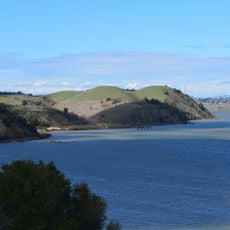
The structure takes its name from the two cities it connects, Benicia and Martinez, across the Carquinez Strait. Travelers crossing today often see cargo ships and ferries below, following the same waterway that once served as the sole link between the two shores.
The northbound roadway carries five lanes across the strait and includes automatic toll systems that capture vehicles as they pass through. The southbound road span offers four lanes and a dedicated bike path for pedestrians and cyclists, allowing a safe crossing away from automobile traffic.
The rail section ranks among the longest railway bridges west of the Mississippi and measures over 2.7 kilometers. Many travelers notice when crossing that the parallel spans are slightly offset from one another because they were built decades apart using different engineering standards of their time.
The community of curious travelers
AroundUs brings together thousands of curated places, local tips, and hidden gems, enriched daily by 60,000 contributors worldwide.