Ryer Island, Agricultural island in Sacramento-San Joaquin River Delta, California.
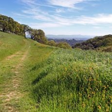
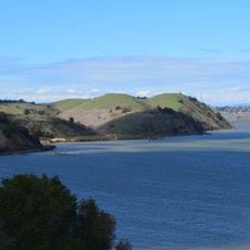
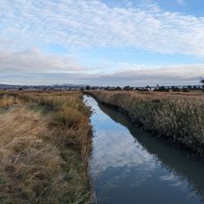
Ryer Island is an agricultural island in the Sacramento-San Joaquin River Delta, located where Miner Slough and Steamboat Slough meet the Sacramento River. The terrain is flat and devoted to farming, with levees and waterways that define the landscape.
At California statehood the island was known as Kings Island, as labelled on Cadwalader Ringgold's 1850 survey map of the San Francisco Bay area and on Henry Lange's 1854 map. A 1902 USGS map shows it under the name Ryer alongside Deadman, Joice, Grizzly, Simmons and Roe islands. It is administered by Reclamation District 501 and lies in the Suisun Resource Conservation District.
The sources record no Ryer family settlement; the island's documented name history is cartographic. It appears as Kings Island on Cadwalader Ringgold's 1850 survey of San Francisco Bay and on Henry Lange's 1854 map, and as Ryer Island on a 1902 USGS map alongside Deadman, Joice, Grizzly, Simmons and Roe islands.
Ryer Island lies eight miles east-northeast of Benicia, at the mouth of the Sacramento-San Joaquin River Delta in Solano County. It is administered by Reclamation District 501 and falls within the Suisun Resource Conservation District. Access is by water or by the levee roads that cross the island's sloughs.
Ryer Island was labelled Kings Island on Cadwalader Ringgold's 1850 survey map of the San Francisco Bay area, and the name still appears on Henry Lange's 1854 map. The island is administered by Reclamation District 501 and lies within the Suisun Resource Conservation District.
The community of curious travelers
AroundUs brings together thousands of curated places, local tips, and hidden gems, enriched daily by 93,984 contributors worldwide.