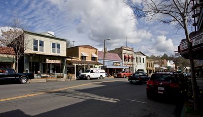
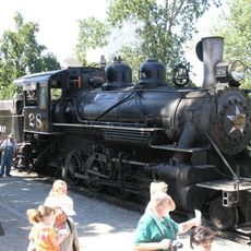
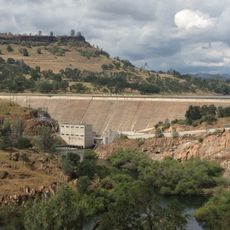
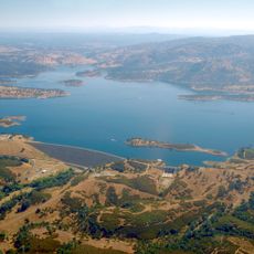
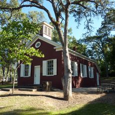
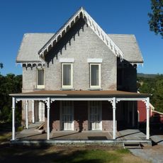
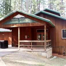
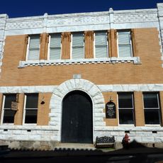
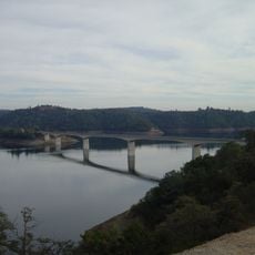
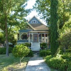
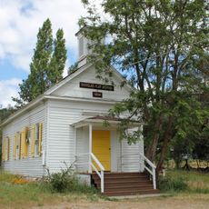
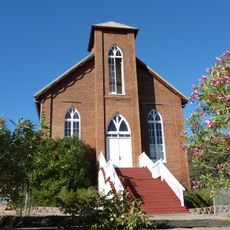
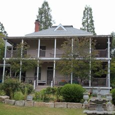
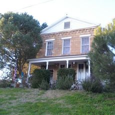
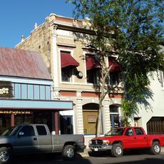
Angels Camp, city in Calaveras County, California, United States of America
Location: Calaveras County
Inception: 1848
Website: http://angelscamp.gov
GPS coordinates: 38.06833,-120.53972
Latest update: March 4, 2025 14:44
Calaveras Big Trees State Park
31.5 km
Pioneer Cabin Tree
31.4 km
New Melones Lake
7.9 km
Railtown 1897 State Historic Park
16.9 km
Lake Tulloch
22.6 km
New Hogan Lake
25.6 km
Ironstone Vineyards
8.5 km
Mercer Caverns
10.7 km
California Caverns
15.2 km
Angels Hotel
515 m
Pardee Dam
34.4 km
Knight's Ferry Bridge
29.7 km
Twisted Oak Winery
4.9 km
Salt Spring Valley Reservoir
18.9 km
Track Bus No. 19
17 km
Altaville Grammar School
2.5 km
Thorn House
18.6 km
Sierra Nevada Logging Museum
27.9 km
Calaveras County Courthouse
18.8 km
Archie Stevenot Bridge
8 km
John J. Snyder House
19.2 km
Douglas Flat School
9.3 km
Sam Choy Brick Store
153 m
Copperopolis Congregational Church
13.1 km
Utica Mansion
367 m
Abraham Schell House
30.1 km
Calaveras County Bank
157 m
Jacksonville Road Bridge
30.9 kmReviews
Visited this place? Tap the stars to rate it and share your experience / photos with the community! Try now! You can cancel it anytime.
Discover hidden gems everywhere you go!
From secret cafés to breathtaking viewpoints, skip the crowded tourist spots and find places that match your style. Our app makes it easy with voice search, smart filtering, route optimization, and insider tips from travelers worldwide. Download now for the complete mobile experience.
A unique approach to discovering new places❞
— Le Figaro
All the places worth exploring❞
— France Info
A tailor-made excursion in just a few clicks❞
— 20 Minutes