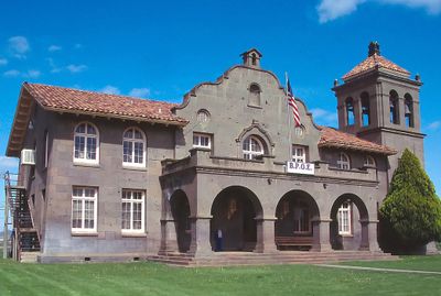
Alturas, County seat in Modoc County, California.
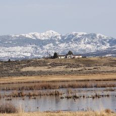
Alturas is a city in Modoc County, California, situated where the south and north forks of the Pit River meet, spreading across about 2.5 square miles. The Warner Mountains form a natural border around the area, creating a contained setting in the landscape.
The settlement began as Dorris Bridge in 1871, named after Pressley and James Dorris, before changing its name to Alturas in 1876. It became an incorporated city in 1901 and later served as the county seat for Modoc County.
The land here was once home to the Achumawi people, who called it Kosealekte, leaving a lasting mark on the region's identity. This indigenous presence remains an important part of how locals understand their home.
A municipal airport serves the area with regular service, while U.S. Route 395 and State Route 299 provide road connections to surrounding regions. Visitors will find good highway access for exploring the surrounding mountain landscape.
The climate here is extreme, with temperatures ranging from deep freezes to hot summer days and bringing substantial snowfall each year. These harsh conditions shape the region's character and demand adaptation from residents and visitors alike.
The community of curious travelers
AroundUs brings together thousands of curated places, local tips, and hidden gems, enriched daily by 60,000 contributors worldwide.