
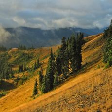
Queets River Natural Resources Conservation Area
Queets River Natural Resources Conservation Area, natural area in Jefferson County, Washington state, United States of America
Location: Jefferson County
Operator: Washington State Department of Natural Resources
Website: https://dnr.wa.gov/QueetsRiver
GPS coordinates: 47.56427,-124.20671
Latest update: July 23, 2025 20:01
Olympic National Park
37.4 km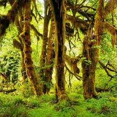
Hoh Rainforest
39.2 km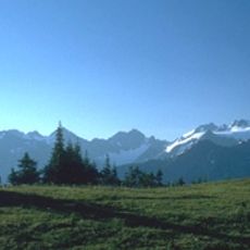
Olympic Mountains
41 km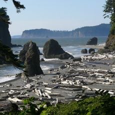
Ruby Beach
22.6 km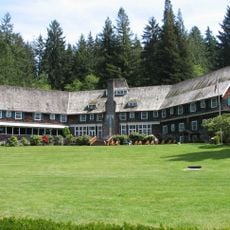
Lake Quinault Lodge
29 km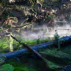
Hall of Mosses Trail
39.1 km
One Square Inch of Silence
42 km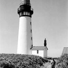
Destruction Island Lighthouse
24.3 km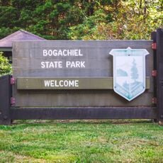
Bogachiel State Park
38.8 km
Pacific Beach State Park
40 km
Colonel Bob Wilderness
36.6 km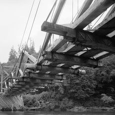
Chow Chow Bridge
23.5 km
Quinault Cultural Center and Museum
25.5 km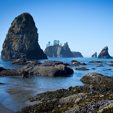
Copalis National Wildlife Refuge
20.5 km
Colonel Bob
35.6 km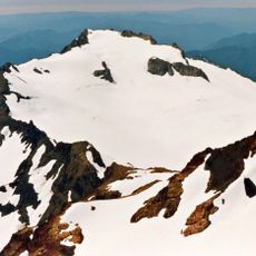
White Glacier
43.7 km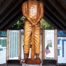
Forks Timber Museum
43.8 km
Forks Timber Museum
43.8 km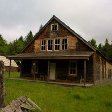
Kestner Homestead
29.8 km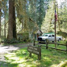
North Fork Quinault Ranger Station
42 km
Moclips Ocean Beach Access
36.3 km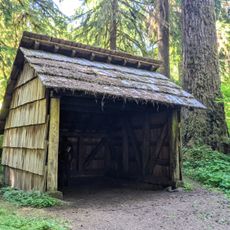
Happy Four Shelter
44.2 km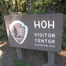
Hoh Rain Forest Visitor Center
38.8 km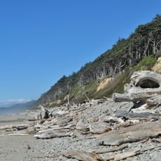
Beach 1
11.8 km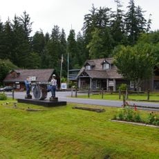
Forks Loggers Memorial
43.8 km
Quinault Rain Forest Ranger Station
29.7 km
Middle Rock
27.4 km
Hoh Head
30.4 kmReviews
Visited this place? Tap the stars to rate it and share your experience / photos with the community! Try now! You can cancel it anytime.
Discover hidden gems everywhere you go!
From secret cafés to breathtaking viewpoints, skip the crowded tourist spots and find places that match your style. Our app makes it easy with voice search, smart filtering, route optimization, and insider tips from travelers worldwide. Download now for the complete mobile experience.

A unique approach to discovering new places❞
— Le Figaro
All the places worth exploring❞
— France Info
A tailor-made excursion in just a few clicks❞
— 20 Minutes