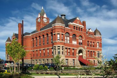
Jefferson County, Administrative division in western Washington, United States.
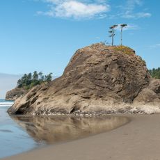
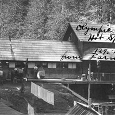
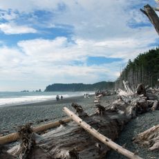
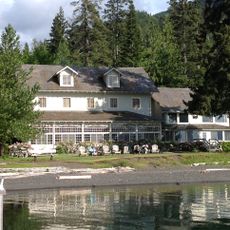
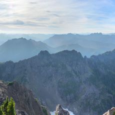
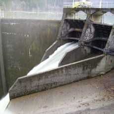
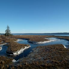
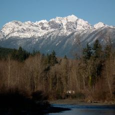
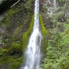
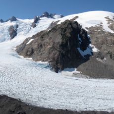
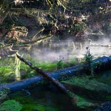
Jefferson County is an administrative region in western Washington with varied landscapes ranging from dense forests to extensive coastlines. The area contains mountains, valleys, and numerous small communities scattered throughout the natural terrain.
The region was established in 1852 and named after the third U.S. President. It ranks among the earliest administrative divisions created during Washington's territorial period.
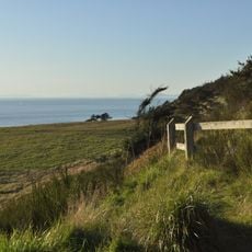
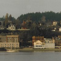
Local communities here maintain a strong connection to the ocean and forests, which shapes how people spend their time and what they value. Visitors will notice the importance of outdoor activities in everyday life and the way the landscape influences local identity.
Visitors should prepare for changing weather conditions, particularly in cooler months when rain is frequent. The best time to explore is from late spring through early fall, when conditions are more stable.
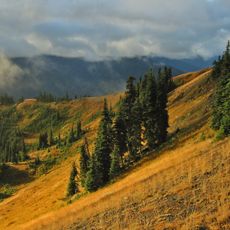
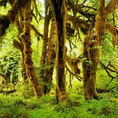
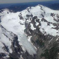
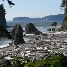
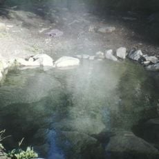
The region hosts rare ecosystems where temperate rainforests meet alpine environments, making it a globally significant nature preserve. This ecological variety draws researchers and nature enthusiasts who cannot find similar landscapes elsewhere.
Location: Washington
Inception: 1852
Capital city: Port Townsend
Shares border with: Island County, Kitsap County, Mason County, Grays Harbor County, Clallam County, San Juan County, Capital Regional District
Website: http://co.jefferson.wa.us
GPS coordinates: 47.84000,-123.58000
Latest update: December 20, 2025 12:40
Olympic National Park
20.1 km
Bathyscaphe Trieste
73.2 km
Hoh Rainforest
25.9 km
Olympic Mountains
18.9 km
Mount Olympus
10.7 km
Hood Canal Bridge
71.4 km
Fort Worden
69.2 km
USS Turner Joy
78.1 km
Fort Casey
76.3 km
Ruby Beach
64.1 km
Elwha Dam
28.4 km
Olympic Hot Springs
17.3 km
La Push Beach
79.5 km
Fort Flagler Historical State Park
71.9 km
Manis Mastodon Site
41.7 km
Sol Duc Hot Springs
25.6 km
Rialto Beach
79.6 km
Lake Crescent Lodge
29.2 kmClallam Bay Corrections Center
68.9 km
Mount Ellinor
42.8 km
Glines Canyon Dam
18.1 km
Fort Ebey State Park
79.2 km
Dosewallips State Park
53.1 km
Mount Constance
34.7 km
Marymere Falls
28.1 kmSalt Creek Recreation Area
35.2 km
Blue Glacier
9 km
Hall of Mosses Trail
26.1 kmVisited this place? Tap the stars to rate it and share your experience / photos with the community! Try now! You can cancel it anytime.
Discover hidden gems everywhere you go!
From secret cafés to breathtaking viewpoints, skip the crowded tourist spots and find places that match your style. Our app makes it easy with voice search, smart filtering, route optimization, and insider tips from travelers worldwide. Download now for the complete mobile experience.
A unique approach to discovering new places❞
— Le Figaro
All the places worth exploring❞
— France Info
A tailor-made excursion in just a few clicks❞
— 20 Minutes