Enable Location

We need your location to show you interesting places around you

Discover nearby places

Find interesting locations and hidden gems around you

Precise directions

Get accurate directions and distances to places

Your location is never shared with other users. It's only used when you tap the location button.

Hood Canal Bridge

Log in to your account

Start exploring — it's free

Trusted by 62,370 travelers worldwide

Continue with Google
Continue with Apple
or

We will send you a code to connect

By continuing, you accept our Terms and Conditions and our Privacy Policy

Check your inbox

We've sent a pincode in your inbox. Please enter the code below.

Hood Canal Bridge

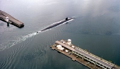
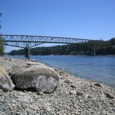
Hood Canal Bridge, Pontoon bridge between Kitsap and Olympic Peninsula, United States

Hood Canal Bridge spans 2,398 meters (7,869 feet) across the saltwater tidal basin, using 23 concrete pontoons that support vehicle traffic between two peninsulas. The floating structure connects the Kitsap Peninsula to the Olympic Peninsula across one of the busiest waterways in the Pacific Northwest.

A major failure occurred during a 1979 storm when winds reaching 120 miles per hour (190 kilometers per hour) caused the western section to sink. Reconstruction took three years and resulted in an improved design with stronger anchoring systems.

Construction work in 2003 uncovered the Tse-whit-zen archaeological site, containing remains of a Klallam village that stood for 2,700 years. The discovery led to extensive excavation and recovery of artifacts before work could proceed.

Washington State Department of Transportation closes the crossing to vehicles when wind speeds exceed 40 miles per hour (64 kilometers per hour) for more than 15 minutes. Travelers should check weather forecasts and consider alternate routes when storms are predicted.

Each floating pontoon section contains 93 individual cells and weighs around 5,000 tons, secured by steel cables to concrete anchors beneath the water. The pontoons move with the tides and adapt to water level changes of up to 16 feet (5 meters).

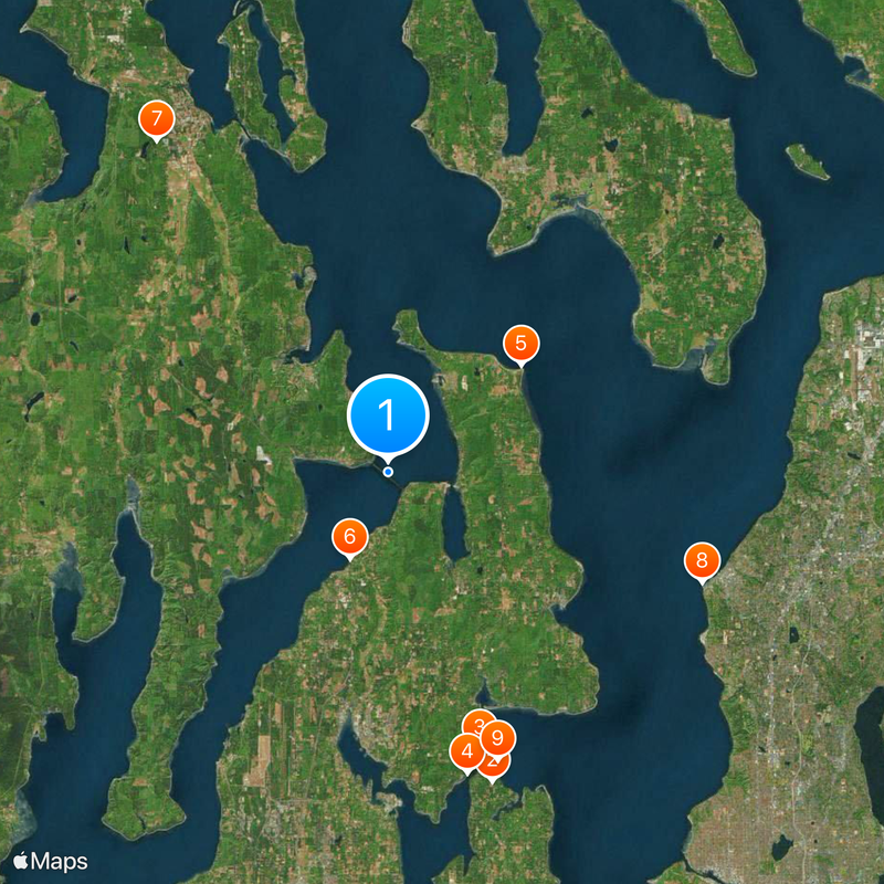
The community of curious travelers

AroundUs brings together thousands of curated places, local tips, and hidden gems, enriched daily by 60,000 contributors worldwide.

Start exploring
Location
Inception
August 12, 1961
Official opening
August 12, 1961
Length
2,398 m
GPS coordinates
47.85972,-122.62444
Latest update
December 20, 2025 01:42
Around this place
Show the full map
« Hood Canal Bridge - Pontoon bridge between Kitsap and Olympic Peninsula, United States » is provided by Around Us (aroundus.com). Images and texts are derived from Wikimedia project under a Creative Commons license. You are allowed to copy, distribute, and modify copies of this page, under the conditions set by the license, as long as this note is clearly visible.

Discover hidden gems everywhere you go!

From secret cafés to breathtaking viewpoints, skip the crowded tourist spots and find places that match your style. Our app makes it easy with voice search, smart filtering, route optimization, and insider tips from travelers worldwide. Download now for the complete mobile experience.

Around Us App Screenshot

A unique approach to discovering new places

Le Figaro

All the places worth exploring

France Info

A tailor-made excursion in just a few clicks

20 Minutes

Around Us
Travel Guide & Maps
Download

Send to your phone

QR Code
1

Open the camera app on your mobile.

2

Point at the QR code with your camera. A notification will appear.

3

Tap the notification to open the link.