Colwood, Coastal city in Vancouver Island, Canada
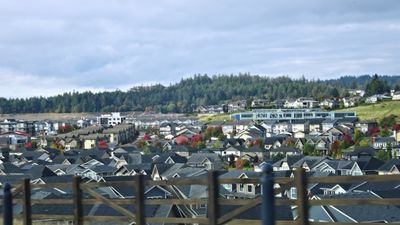
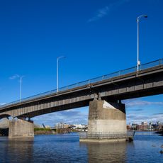
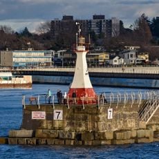
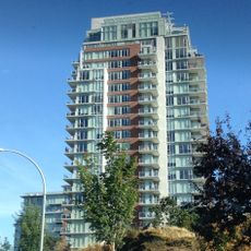
Colwood is a coastal city on Vancouver Island in British Columbia, spanning several neighborhoods with a mix of residential and recreational areas. The municipality sits south of Victoria and features both developed neighborhoods and natural spaces with beach access.
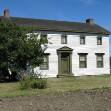
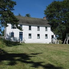
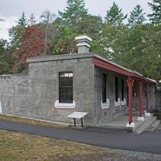
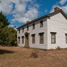
The Hudson's Bay Company established Colwood in the 1850s as one of four major agricultural settlements to supply the growing population at Fort Victoria. This early settlement activity formed the foundation for later residential development.
The area was home to Teechamista and Lekwungen-speaking peoples, including the Songhees and Xwsepsum Nations, whose presence shaped the land. Today, their legacy remains woven into the community's identity and local stories.
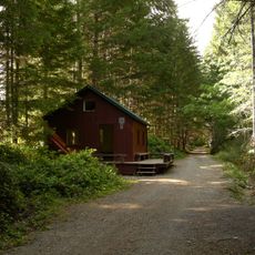
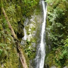
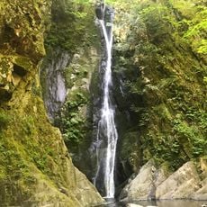
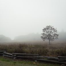
The area has numerous parks, beaches, and trails connecting residential neighborhoods to natural spaces. Visitors can easily explore the coastal surroundings and areas near Victoria using these pathways.
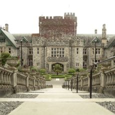
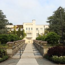
Royal Roads University functions today as a civilian institution, but was previously a military college with roots in the early 20th century. The campus location offers views of Vancouver Island's southern coastline.
Location: Capital Regional District
Elevation above the sea: 80 m
Shares border with: View Royal, Langford, Esquimalt, Metchosin, New Songhees 1A
Website: https://colwood.ca
GPS coordinates: 48.42360,-123.49600
Latest update: December 7, 2025 19:30
Hatley Park National Historic Site
2.1 km
Westhills Stadium
3 km
Galloping Goose Regional Trail
9.2 km
Goldstream Provincial Park
6.2 km
Fort Rodd Hill National Historic Site
3.3 km
Fisgard Lighthouse
3.7 km
The Q Centre
3.4 km
Pacific Undersea Gardens
9.2 km
Point Ellice Bridge Disaster
8.8 km
Craigflower Manor and Schoolhouse
6.3 km
Lubbe Powerhouse
8 km
Hotel Grand Pacific
9.1 km
Esquimalt and Nanaimo Railway Roundhouse
8.5 km
223 Robert Street
7.9 km
1114 Arthur Currie Lane
8.4 km
Esquimalt Lagoon Migratory Bird Sanctuary
2.1 km
British Columbia Time Capsule
9.2 km
Niagara Falls
7.9 km
Ogden Point Breakwater Lighthouse
7.6 km
Johnson Street Bridge
9.2 km
Craigflower Schoolhouse
6.3 km
Promontory
8.6 km
Grant Block
2.1 km
Victoria Harbour Migratory Bird Sanctuary
7 km
Fort Rodd Hill upper battery guardhouse
3.3 km
Craigflower Manor
6.1 km
Fort Rodd Hill upper battery gun emplacement and magazine
3.2 km
1218 Wharf Street
9.3 kmVisited this place? Tap the stars to rate it and share your experience / photos with the community! Try now! You can cancel it anytime.
Discover hidden gems everywhere you go!
From secret cafés to breathtaking viewpoints, skip the crowded tourist spots and find places that match your style. Our app makes it easy with voice search, smart filtering, route optimization, and insider tips from travelers worldwide. Download now for the complete mobile experience.
A unique approach to discovering new places❞
— Le Figaro
All the places worth exploring❞
— France Info
A tailor-made excursion in just a few clicks❞
— 20 Minutes