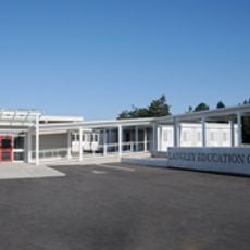
Langley, District municipality in Metro Vancouver, British Columbia, Canada
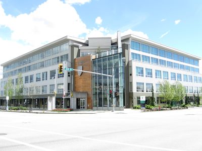
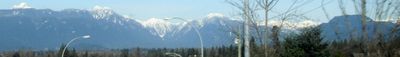
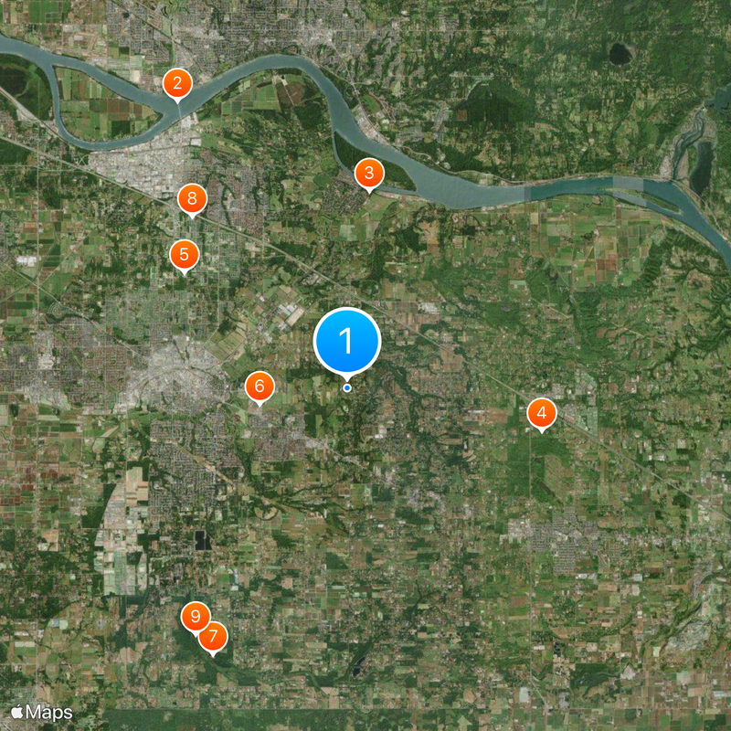
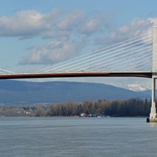
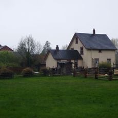
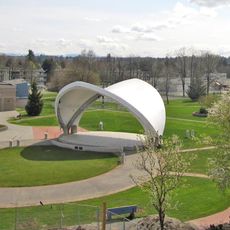
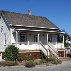
Langley is a district municipality south of the Fraser River in the Greater Vancouver region that spans several hundred square kilometers. It combines residential neighborhoods, farmland, and commercial areas into a mixed landscape ranging from quieter rural sections to developed zones.
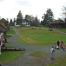
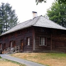
The area started as a small settlement around a trading post in the early eighteen hundreds and gradually developed into a municipality. The year 1873 marked the establishment of the current district, laying the foundation for its growth as part of Greater Vancouver.
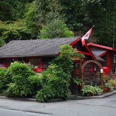
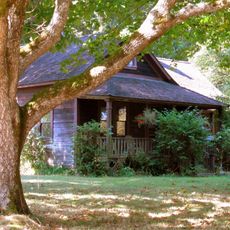
The place draws its character from its connection to the fur trading post that shaped the region's early growth. Local events and gatherings reflect this heritage and help residents maintain a sense of continuity with the area's roots.
The area is well connected to Vancouver through the public transit system, with multiple bus routes crossing through different sections. Visitors can easily navigate the territory by using available transit options or exploring it on their own.
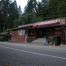
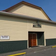
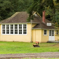
The territory is known for Fort Langley, a site where the region's colonial history reached a turning point. The historic place attracts visitors interested in the early European trading activities that shaped the area.
Location: Metro Vancouver Regional District
Inception: April 26, 1873
Shares border with: Surrey, Langley, Maple Ridge, Abbotsford
Website: https://tol.ca
GPS coordinates: 49.10444,-122.58270
Latest update: December 14, 2025 19:39
Golden Ears Bridge
11.9 km
Lieu historique national du Fort-Langley
7.1 km
Greater Vancouver Zoo
7.1 km
R. E. Mountain Secondary School
7.2 km
Canadian Museum of Flight
3.2 kmLangley Speedway
10.7 km
Carvolth Exchange
8.3 km
Campbell Valley Regional Park
10.3 km
Kanaka Creek Regional Park
12.7 km
Langley Education Centre
3.4 kmStatue of James Douglas
7.1 km
Douglas Park (Langley)
5.2 km
Fort Langley Golf Course
8.3 km
Blair sugar maple tree
3.1 km
Whonnock General Store
10.9 km
Golden Ears Observatory
8.8 km
Matheson House
6.7 km
Whonnock Post Office
10.9 kmFort Langley northeast bastion
7.2 km
PY Porter House
3.2 km
Whonnock sugar maple trees
11.5 km
Murrayville Community Hall
3.4 km
Lochiel School
11.4 km
Willoughby Heritage School
6.6 km
Willoughby Community Hall
7.1 km
Alex Houston Residence
10.4 km
Fort Langley servants' quarters
7.1 kmDerby Reach Regional Park
10.5 kmVisited this place? Tap the stars to rate it and share your experience / photos with the community! Try now! You can cancel it anytime.
Discover hidden gems everywhere you go!
From secret cafés to breathtaking viewpoints, skip the crowded tourist spots and find places that match your style. Our app makes it easy with voice search, smart filtering, route optimization, and insider tips from travelers worldwide. Download now for the complete mobile experience.
A unique approach to discovering new places❞
— Le Figaro
All the places worth exploring❞
— France Info
A tailor-made excursion in just a few clicks❞
— 20 Minutes