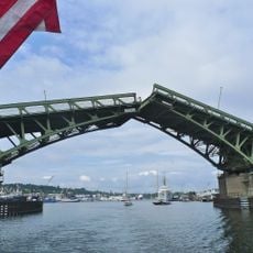
Hiram M Chittenden Locks and Dam, Navigation locks in Ballard, Seattle, United States
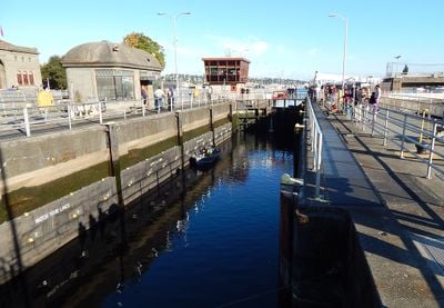
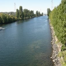
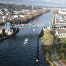
The facility connects Lake Washington and Lake Union to Puget Sound through a system of two water chambers of different sizes, mechanical gates and concrete structures. The large chamber measures 800 feet (244 meters) in length and 80 feet (24 meters) in width, while the small chamber extends 150 feet (46 meters) long and 30 feet (9 meters) wide. Both chambers manage an average elevation difference of 20 feet (6 meters) between freshwater and saltwater.
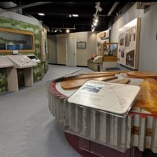
The United States Army Corps of Engineers completed the facility in 1917 after five years of construction under the direction of Major Hiram M. Chittenden, for whom it was named. The project cost 3.2 million dollars and required excavation of more than 2 million cubic yards (1.5 million cubic meters) of earth and rock. The facility received designation as a National Historic Landmark in 1976 and underwent several technological upgrades throughout subsequent decades.
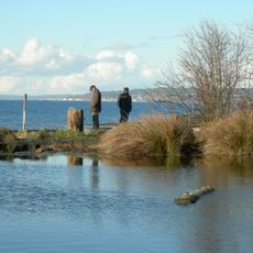
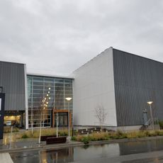
The facility functions as an educational center where visitors observe salmon migration through viewing windows and interpretive displays at the fish ladder. The site plays an essential role in the regional ecosystem and allows scientists to document migration patterns of Pacific salmon species. School groups and researchers regularly use the facility for studies in aquatic biology and environmental science.
The facility operates daily from 7 a.m. to 9 p.m. and access to the visitor center and fish ladder is free. Parking is available on both sides of the structure and public transit reaches the site via several bus routes. The best time for salmon viewing runs from July through September when migration reaches its peak, though boat passages occur year round.
The facility processes roughly 50,000 vessels annually and ranks as the most active waterway connection in North America by traffic volume. Traffic ranges from small recreational craft to commercial fishing boats and yachts up to 80 feet (24 meters) in length. On summer weekends, up to 400 boats may pass through the chambers daily, with each transit taking 10 to 25 minutes depending on chamber size and water conditions.
The community of curious travelers
AroundUs brings together thousands of curated places, local tips, and hidden gems, enriched daily by 60,000 contributors worldwide.