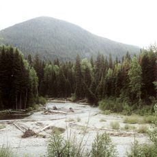
Devils Stairway, cliff in Okanogan County, Washington, United States of America
Location: Okanogan County
GPS coordinates: 48.92111,-120.77028
Latest update: November 20, 2025 17:46
E. C. Manning Provincial Park
16.2 km
Desolation Peak
18 km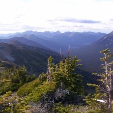
Pasayten Wilderness
20.8 km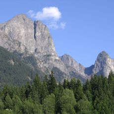
Hozomeen Mountain
18.9 km
Parson Smith Tree
18.2 km
Desolation Peak Lookout
18 km
Deer Lick Cabin
15.6 km
Shadow Falls
19.6 km
Windy Joe Lookout
13.7 km
Nepopekum Falls
19.2 km
Hozomeen Mountain
18.9 km
Point Defiance
13.3 km
Shadow Fall viewpoint
19.6 km
Valley View
16.7 km
Amphitheatre
16.2 km
Scenic viewpoint
16.6 km
Nepopekum Falls Viewpoint
19.8 km
Scenic viewpoint
15.6 km
Derek Falls Viewpoint
20.1 km
Lightning Lake Beach
16.2 km
Scenic viewpoint
20.3 km
Scenic viewpoint
17 km
Scenic viewpoint
20 km
Shadow Falls
19.6 km
Nepopekum Falls
19.2 km
Waterfall
19.9 km
Derek Falls
20 km
Nepokekum Falls
19.4 kmReviews
Visited this place? Tap the stars to rate it and share your experience / photos with the community! Try now! You can cancel it anytime.
Discover hidden gems everywhere you go!
From secret cafés to breathtaking viewpoints, skip the crowded tourist spots and find places that match your style. Our app makes it easy with voice search, smart filtering, route optimization, and insider tips from travelers worldwide. Download now for the complete mobile experience.

A unique approach to discovering new places❞
— Le Figaro
All the places worth exploring❞
— France Info
A tailor-made excursion in just a few clicks❞
— 20 Minutes