Chest opened
+${chestReward.xp} XP
Explorer
NOUVEAU ×${chestReward.collectible.quantity}
tapez pour fermer

See the monuments around you in AR Open chests in the app

Around Us is built for your phone — point your camera at the streets and discover the monuments and places around you in augmented reality. Around Us is built for your phone — chests unlock when you walk, explore and capture nearby places.

•

Enable Location

We need your location to show you interesting places around you

Discover nearby places

Find interesting locations and hidden gems around you

Precise directions

Get accurate directions and distances to places

Your location is never shared with other users. It's only used when you tap the location button.

Desolation Peak

Log in to your account

Start exploring — it's free

Trusted by 93,749 travelers worldwide

Continue with Google
Continue with Apple
or

We will send you a code to connect

By continuing, you accept our Terms and Conditions and our Privacy Policy

Check your inbox

We've sent a pincode in your inbox. Please enter the code below.

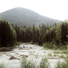
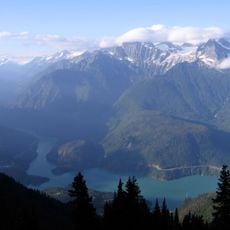
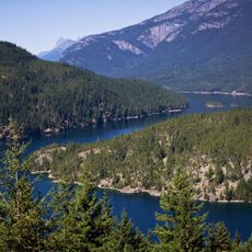
Desolation Peak, Mountain summit in Ross Lake National Recreation Area, Washington, United States

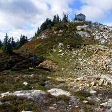
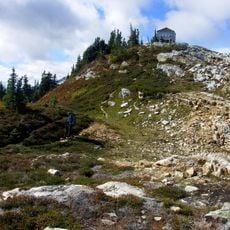
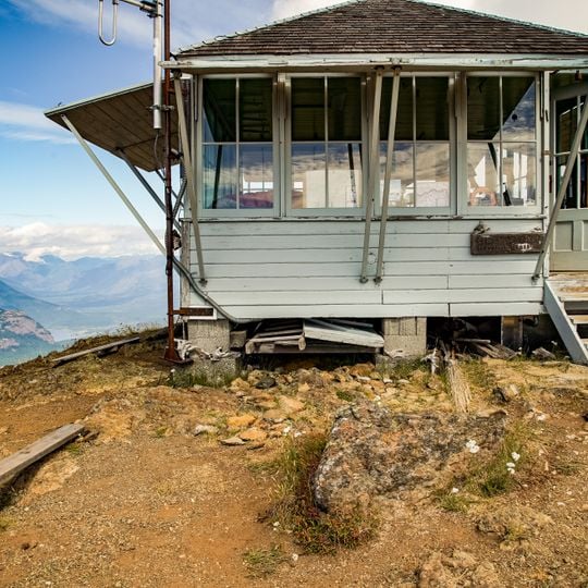
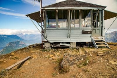
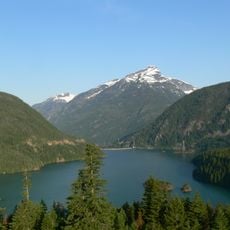
Desolation Peak rises to 1,860 metres in the North Cascade Mountains, within Ross Lake National Recreation Area east of North Cascades National Park. At the summit stands a small wooden one-room fire lookout with light gray horizontal siding, a hipped shingle roof, a band of multi-paned windows and a dark metal fire tower with a ladder at its left corner. A sign on the lower right wall bears the number 793.

Lage Wernstedt made the first recorded climb in 1926 and named the peak for a forest fire that had stripped its slopes that same year. A fire lookout tower has stood on the summit since 1933, staffed in summer to spot fire starts. Jack Kerouac worked there for 63 days in 1956.

Jack Kerouac spent 63 days as a fire lookout on the summit in the summer of 1956. He drew on that stay in The Dharma Bums, Lonesome Traveler, Desolation Angels and a haiku collection titled "Desolation pops". The lookout is 15 miles from the nearest road.

The climb involves significant elevation gain over a steep route, making an early start advisable. Mountain weather can change rapidly, so proper gear and preparation are important for safety.

The summit lookout is 15 miles (24 km) from the nearest road, so its watchers are supplied on foot or by pack stock. The building in the photograph carries the number 793 on its lower wall, and a dark metal fire tower with a ladder stands at its left corner.

The community of curious travelers

AroundUs brings together thousands of curated places, local tips, and hidden gems, enriched daily by 93,749 contributors worldwide.
Start exploring
Location
GPS coordinates
48.91124,-121.01623
Latest update
October 28, 2026 13:55
Reviews
Share your experience

No review yet

Discussions
Start a discussion...

No discussion yet

« Desolation Peak - Mountain summit in Ross Lake National Recreation Area, Washington, United States » is provided by Around Us (aroundus.com). Images and texts are derived from Wikimedia project under a Creative Commons license. You are allowed to copy, distribute, and modify copies of this page, under the conditions set by the license, as long as this note is clearly visible.

Discover hidden gems everywhere you go!

From secret cafés to breathtaking viewpoints, skip the crowded tourist spots and find places that match your style. Our app makes it easy with voice search, smart filtering, route optimization, and insider tips from travelers worldwide. Download now for the complete mobile experience.
Around Us App Screenshot
❝

A unique approach to discovering new places❞

— Le Figaro

❝

All the places worth exploring❞

— France Info

❝

A tailor-made excursion in just a few clicks❞

— 20 Minutes

Around Us
Travel Guide & Maps
Download

Send to your phone

QR Code
1

Open the camera app on your mobile.

2

Point at the QR code with your camera. A notification will appear.

3

Tap the notification to open the link.