Okanogan County, Administrative division in north-central Washington, United States
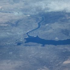
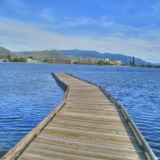
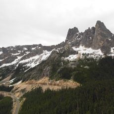
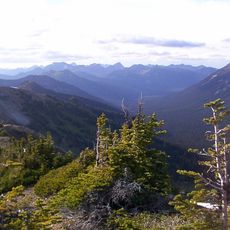
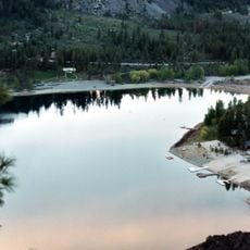
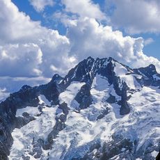
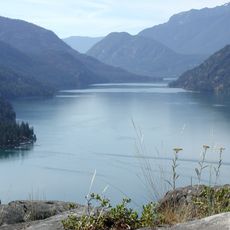
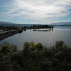
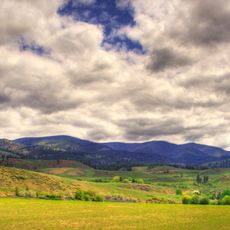
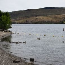
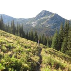
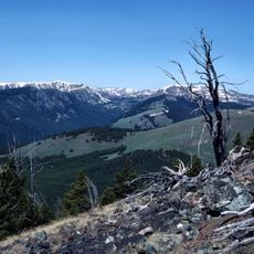
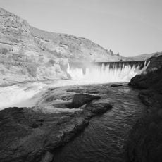
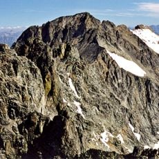
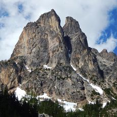
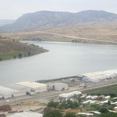
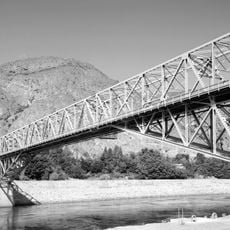
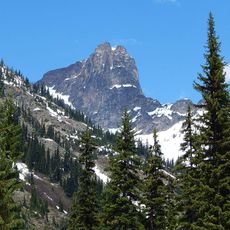
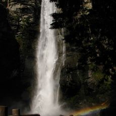
Okanogan County is an administrative division in north-central Washington situated between the Canadian border and the Columbia River. The area is defined by mountains, forests, and valleys that shape its geography.
The county was separated from Stevens County in 1888 and experienced several changes in its administrative centers over time. These shifts reflect the region's evolving development and reorganization.
The name comes from the Okanagan language and reflects the indigenous roots of the region. This linguistic link shows how the place connects to the heritage of its first inhabitants.
The county provides visitors and residents with digital services through its website, including permit applications, property records, and emergency information. These online resources make it easier to handle administrative matters.
A massive wildfire in 2014 burned across a vast area and stands as one of the largest natural disasters in Washington's history. This event permanently shaped the landscape and local community awareness.
Location: Washington
Inception: 1888
Capital city: Okanogan
Shares border with: Ferry County, Lincoln County, Grant County, Douglas County, Chelan County, Skagit County, Whatcom County, Fraser Valley Regional District, Regional District of Okanagan-Similkameen, Regional District of Kootenay Boundary
Website: http://okanogancounty.org
GPS coordinates: 48.55000,-119.75000
Latest update: December 6, 2025 21:28
Grand Coulee Dam
87.3 km
Franklin D. Roosevelt Lake
87.3 km
Osoyoos Lake
54.9 km
Washington pass
66.8 km
Pasayten Wilderness
64.8 km
Alta Lake State Park
59.7 km
Wells Dam
67.9 km
Bonanza Peak
89.5 km
Lake Chelan National Recreation Area
73 km
Fort Okanogan
50.1 km
Omak Rock
45.1 km
Conconully State Park
677 m
Pearrygin Lake State Park
29.7 km
Bridgeport State Park
60.6 km
Lake Chelan-Sawtooth Wilderness
59 km
Chopaka Mountain
45.4 km
Enloe Dam and Powerplant
49.8 km
Mount Fernow
89.3 km
Early Winters Spires
67.1 km
Lake Pateros
67.6 km
Grand Coulee Bridge
86.5 km
Cutthroat Peak
70.3 km
Rainbow Falls
73.8 km
Zosel Dam
49.1 km
Buckner Homestead Historic District
74.2 km
Purple Point-Stehekin Ranger Station House
72.1 km
Loup Loup Pass
20.8 km
Gallaher House
60.6 kmReviews
Visited this place? Tap the stars to rate it and share your experience / photos with the community! Try now! You can cancel it anytime.
Discover hidden gems everywhere you go!
From secret cafés to breathtaking viewpoints, skip the crowded tourist spots and find places that match your style. Our app makes it easy with voice search, smart filtering, route optimization, and insider tips from travelers worldwide. Download now for the complete mobile experience.
A unique approach to discovering new places❞
— Le Figaro
All the places worth exploring❞
— France Info
A tailor-made excursion in just a few clicks❞
— 20 Minutes