Chest opened
+${chestReward.xp} XP
Explorer
NOUVEAU ×${chestReward.collectible.quantity}
tapez pour fermer

See the monuments around you in AR Open chests in the app

Around Us is built for your phone — point your camera at the streets and discover the monuments and places around you in augmented reality. Around Us is built for your phone — chests unlock when you walk, explore and capture nearby places.

Enable Location

We need your location to show you interesting places around you

Discover nearby places

Find interesting locations and hidden gems around you

Precise directions

Get accurate directions and distances to places

Your location is never shared with other users. It's only used when you tap the location button.

Washington pass

Log in to your account

Start exploring — it's free

Trusted by 84,905 travelers worldwide

Continue with Google
Continue with Apple
or

We will send you a code to connect

By continuing, you accept our Terms and Conditions and our Privacy Policy

Check your inbox

We've sent a pincode in your inbox. Please enter the code below.

Washington pass
Discussion Reviews 1 Photos
7.7k Popularity

Washington pass, Mountain pass in North Cascades, Washington, US

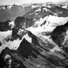
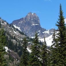
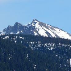
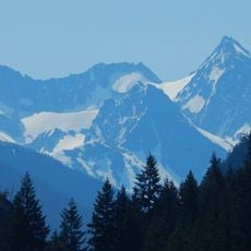
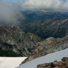
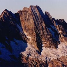
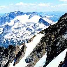
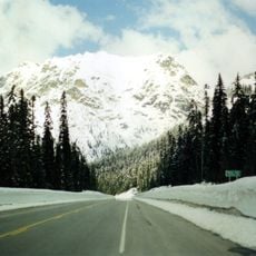
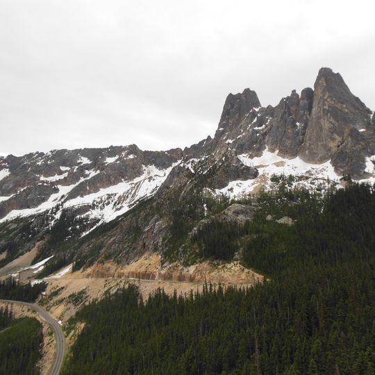
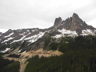
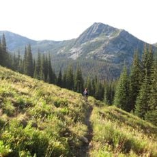
Washington Pass is a mountain pass in the North Cascades that reaches 1669 meters elevation and forms the highest point along the North Cascades Highway. The road passes through dramatic rocky terrain with steep cliffs and deep valleys on both sides.

The pass served as an important trade route for Native American peoples before becoming part of State Route 20. The modern highway follows this historical pathway and connects Whatcom and Okanogan counties.

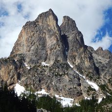
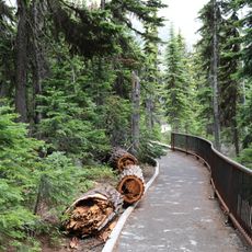
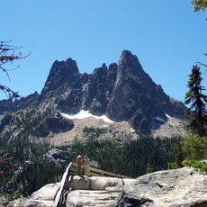
The Washington Pass Overlook Trail, designated as a National Recreation Trail in 1978, provides access to Liberty Bell Mountain views.

The road remains closed from late November through early May due to heavy snowfall and avalanche risks in the area. Visitors should check weather conditions and plan to travel during the open season, as conditions can change rapidly.

The area experiences some of the highest avalanche occurrence rates per mile of highway in the United States. The steep mountain slopes and snow-heavy environment create conditions where slides happen frequently along this corridor.

The community of curious travelers

AroundUs brings together thousands of curated places, local tips, and hidden gems, enriched daily by 60,000 contributors worldwide.
Start exploring
Location
Elevation above the sea
1,669 m
GPS coordinates
48.52330,-120.65500
Latest update
August 30, 2026 09:51
Around this place
Lake Chelan National Recreation Area
United States of America

Lake Chelan National Recreation Area

12.2 mi
Lake Chelan-Sawtooth Wilderness
United States of America

Lake Chelan-Sawtooth Wilderness

15.3 mi
Buckner Mountain
United States of America

Buckner Mountain

15.8 mi
Early Winters Spires
United States of America

Early Winters Spires

0.7 mi
Cutthroat Peak
Canada

Cutthroat Peak

2.2 mi
Rainbow Falls
United States of America

Rainbow Falls

12.6 mi
Buckner Homestead Historic District
United States of America

Buckner Homestead Historic District

13.2 mi
Purple Point-Stehekin Ranger Station House
United States of America

Purple Point-Stehekin Ranger Station House

14.9 mi
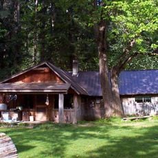
Rock Cabin
United States of America

Rock Cabin

16.1 mi
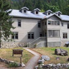
Golden West Visitor Center
United States of America

Golden West Visitor Center

14.9 mi
Golden West Lodge Historic District
United States of America

Golden West Lodge Historic District

14.9 mi
Hock Mountain
United States of America

Hock Mountain

5 mi
Banded Glacier
United States of America

Banded Glacier

13.7 mi
Sandalee Glacier
United States of America

Sandalee Glacier

10 mi
Buckner Cabin
United States of America

Buckner Cabin

13.2 mi
Early Winters Ranger Station Work Center
United States of America

Early Winters Ranger Station Work Center

11.4 mi
Repulse Peak
United States of America

Repulse Peak

7.5 mi
Douglas Glacier
United States of America

Douglas Glacier

12.8 mi
Davenport Glacier
United States of America

Davenport Glacier

17.3 mi
Goode Glacier
United States of America

Goode Glacier

11.7 mi
George Miller House
United States of America

George Miller House

14.5 mi
Fremont Glacier
United States of America

Fremont Glacier

13.8 mi
Swamp-Meadow Cabin
United States of America

Swamp-Meadow Cabin

17.4 mi
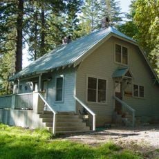
Sulphide–Frisco Cabin
United States of America

Sulphide–Frisco Cabin

4.1 mi
Rainy Pass
United States of America

Rainy Pass

3.7 mi
Washington Pass Overlook Trail
United States of America

Washington Pass Overlook Trail

0.4 mi
Washington Pass Overlook
United States of America

Washington Pass Overlook

0.4 mi
Slate Peak Lookout
United States of America

Slate Peak Lookout

15.2 mi
Show the full map
Reviews
Share your experience

No review yet

Discussions
Start a discussion...

No discussion yet

« Washington pass - Mountain pass in North Cascades, Washington, US » is provided by Around Us (aroundus.com). Images and texts are derived from Wikimedia project under a Creative Commons license. You are allowed to copy, distribute, and modify copies of this page, under the conditions set by the license, as long as this note is clearly visible.

Discover hidden gems everywhere you go!

From secret cafés to breathtaking viewpoints, skip the crowded tourist spots and find places that match your style. Our app makes it easy with voice search, smart filtering, route optimization, and insider tips from travelers worldwide. Download now for the complete mobile experience.
Around Us App Screenshot

A unique approach to discovering new places

Le Figaro

All the places worth exploring

France Info

A tailor-made excursion in just a few clicks

20 Minutes

Around Us
Travel Guide & Maps
Download

Send to your phone

QR Code
1

Open the camera app on your mobile.

2

Point at the QR code with your camera. A notification will appear.

3

Tap the notification to open the link.