Chopaka Mountain, Mountain summit in Okanogan County, Washington, United States
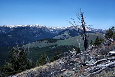
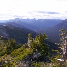
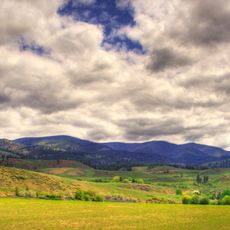
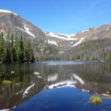
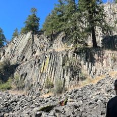
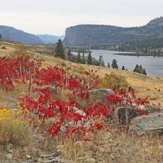
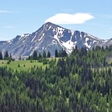
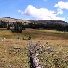
Chopaka Mountain is a summit in the Okanogan County area reaching about 2400 meters in elevation with diverse terrain including forests, rocky ridges, and subalpine meadows. The protected area features steep slopes with varying vegetation zones determined by elevation changes.
The mountain was home to Washington's last wild bighorn sheep population until the 1920s, when hunting eliminated them entirely. This extinction marked the end of a native animal population that had inhabited the region for generations.
The name Chopaka comes from indigenous languages and refers to a traditional Okanagan story about a hunter transformed into stone by a coyote. This legend remains connected to how local communities understand and relate to the place.
A Washington State Discover Pass is required for parking in the area, and visitors should contact regional managers before visiting if conducting research or specific activities. The preserve has limited developed facilities, so come prepared for a more remote experience.
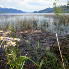
The protected area harbors eleven rare plant species found on the state listing, including special gentians, cinquefoils, and moonworts that grow nowhere else nearby. This botanical diversity makes the preserve particularly important for conservation of these delicate species.
The community of curious travelers
AroundUs brings together thousands of curated places, local tips, and hidden gems, enriched daily by 60,000 contributors worldwide.