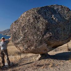
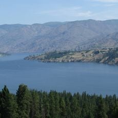
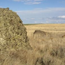
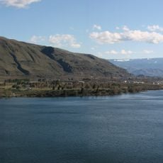
Bridgeport State Park, Recreational park on Rufus Woods Lake, Washington
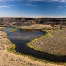
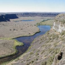
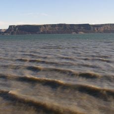
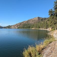
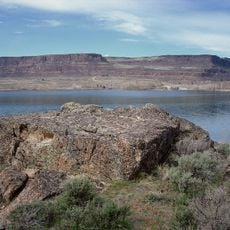
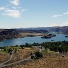
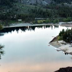
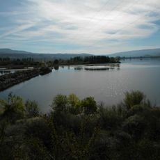
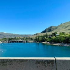
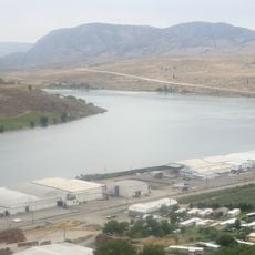
Bridgeport State Park is a 622-acre (252 ha) recreation area two miles east of Bridgeport, Washington, on the north shore of Rufus Woods Lake, the Columbia River reservoir formed by Chief Joseph Dam. It has 7,500 feet (2,300 m) of shoreline, camping areas, four miles (6.4 km) of hiking trails, and facilities for boating, fishing, swimming and golf.
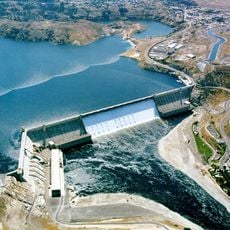
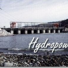
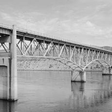
The area took its current shape after Chief Joseph Dam was constructed in the 1950s, which backed up water in the Columbia River and created the lake. Before the dam, this was simply a stretch of river valley where local tribes had lived for thousands of years.
The park takes its name from Chief Joseph Dam, named after Chief Joseph of the Nez Perce, though the dam stands on the Columbia in the traditional territory of the Colville Confederated Tribes. The park itself is a leased recreation site, not a heritage site; its cultural life today is camping, fishing, and boating on Rufus Woods Lake.
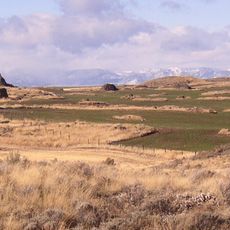
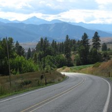
The park lies two miles east of Bridgeport on the north shore of Rufus Woods Lake, reached by road from the town. Its 7,500 feet of shoreline hold camping areas, boat ramps and facilities for boating, fishing, swimming and golf, with four miles of hiking trails. Much of the ground is open, so bring water and sun protection in warm months.
Bridgeport State Park is run under a 25-year lease from the Army Corps of Engineers, first signed after Chief Joseph Dam was finished in 1955 and renewed in 1990 and again in 2015. The dam that made Rufus Woods Lake is a federal flood-control and hydropower structure on the Columbia River.
The community of curious travelers
AroundUs brings together thousands of curated places, local tips, and hidden gems, enriched daily by 93,780 contributors worldwide.