Enable Location

We need your location to show you interesting places around you

Discover nearby places

Find interesting locations and hidden gems around you

Precise directions

Get accurate directions and distances to places

Your location is never shared with other users. It's only used when you tap the location button.

Dry Falls

Log in to your account

Start exploring — it's free

Trusted by 61,557 travelers worldwide

Continue with Google
Continue with Apple
or

We will send you a code to connect

By continuing, you accept our Terms and Conditions and our Privacy Policy

Check your inbox

We've sent a pincode in your inbox. Please enter the code below.

Dry Falls

Dry Falls, Ancient waterfall site in Grant County, United States

Description

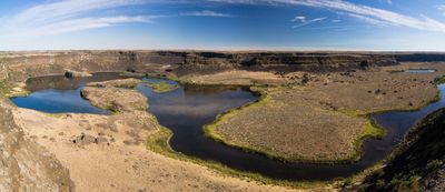
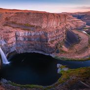
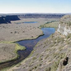
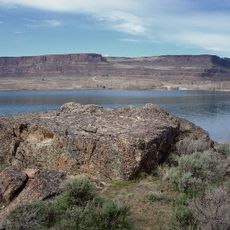
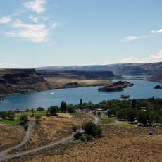
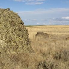
Dry Falls is a former waterfall site in Grant County, Washington. The semicircular rock wall stretches for several miles and rises about 400 feet (121 m) above the floor of the present dry valley.

History

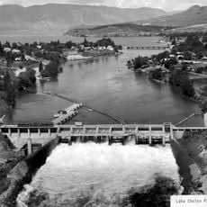
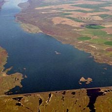
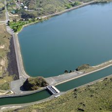
At the end of the last ice age, a glacial lake broke through its dams and flooded the area with an immense volume of water. These floods carved the present rock formation in a short time before the water ceased and left the landscape in its current state.

Culture

The name comes from the fact that no water flows over the cliffs today, though once this site channeled one of the greatest water volumes on Earth. The area is now walked by hikers who cross the dry basalt rocks and trace the scale of the erosion that shaped the land.

Practical

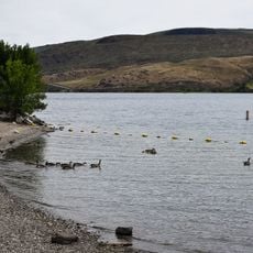
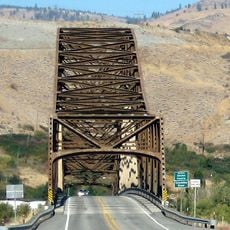
A visitor center provides information about the formation of the landscape and sits directly on the main road, from which several viewpoints are accessible. Hiking trails run along the cliffs and down into the valley, where traces of erosion can be seen up close.

Did you know?

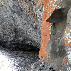
The rock wall shows clearly visible channels and basins carved by the flowing water into the stone. Some of these depressions are so large that entire houses could fit inside them, illustrating the force of the former flood.

Location
Elevation above the sea
460 m
Height
121 m
Part of
Columbia River
GPS coordinates
47.60572,-119.35364
Latest update
December 17, 2025 09:31

AroundUs brings together thousands of curated places, local tips, and hidden gems, enriched daily by 60,000 contributors worldwide. Discover all places nearby (Grant County).

Unknown locations in Washington State

Washington holds far more than the well-known attractions of Seattle and Mount Rainier. Across the state, dozens of less-visited sites offer insight into the region's geological history, military past, and natural diversity. From waterfalls to ancient forests to historic lighthouses and military...

Around this place
Show the full map
« Dry Falls - Ancient waterfall site in Grant County, United States » is provided by Around Us (aroundus.com). Images and texts are derived from Wikimedia project under a Creative Commons license. You are allowed to copy, distribute, and modify copies of this page, under the conditions set by the license, as long as this note is clearly visible.

Discover hidden gems everywhere you go!

From secret cafés to breathtaking viewpoints, skip the crowded tourist spots and find places that match your style. Our app makes it easy with voice search, smart filtering, route optimization, and insider tips from travelers worldwide. Download now for the complete mobile experience.

Around Us App Screenshot

A unique approach to discovering new places

Le Figaro

All the places worth exploring

France Info

A tailor-made excursion in just a few clicks

20 Minutes

Around Us
Travel Guide & Maps
Download

Send to your phone

QR Code
1

Open the camera app on your mobile.

2

Point at the QR code with your camera. A notification will appear.

3

Tap the notification to open the link.