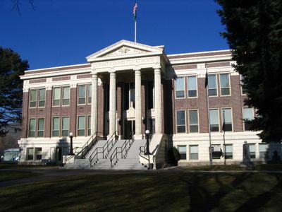
Grant County, Administrative division in Eastern Washington, United States
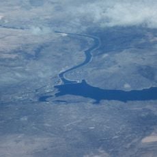
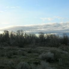
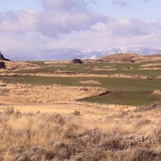
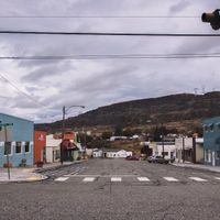
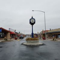
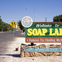
Grant County is an administrative region in Eastern Washington covering diverse terrain from flat valleys to rolling hills. Moses Lake serves as the economic hub, while Ephrata functions as the county seat where government offices are located.
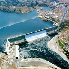
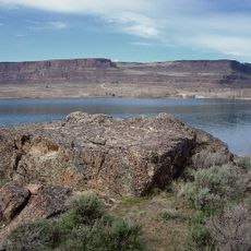
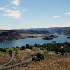
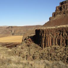
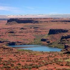
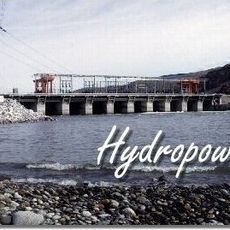
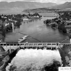
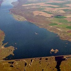
The county was established in 1909, named to honor President Ulysses S. Grant. A major transformation came through large-scale water and irrigation projects that reshaped the entire region's economy and landscape.
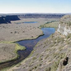
The Interior Salish peoples shaped this region's heritage through their long presence and seasonal camps across the land. Today, farming communities reflect both traditional land knowledge and modern agricultural practices.
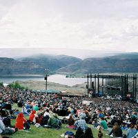
The region is easy to reach by highway, with flight connections available near Moses Lake. Visitors should note that summers are extremely hot, and bringing water is essential for any outdoor activity.
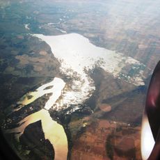
The region was once a dry, sparse landscape until massive water and dam projects turned it into one of the state's leading agricultural producers in just decades. Few places in the Pacific Northwest show such a stark transformation of the land.
Location: Washington
Inception: 1909
Capital city: Ephrata
Shares border with: Douglas County, Okanogan County, Adams County, Lincoln County, Franklin County, Benton County, Yakima County, Kittitas County
Website: http://co.grant.wa.us
GPS coordinates: 47.21000,-119.47000
Latest update: December 7, 2025 09:21
Grand Coulee Dam
90.8 km
The Gorge Amphitheatre
41.6 km
Dry Falls
44.9 km
B Reactor
65.9 km
Grand Coulee
47.2 km
Banks Lake
73.3 km
Ginkgo Petrified Forest State Park
49.8 km
Franklin D. Roosevelt Lake
90.8 km
Moses Lake
12.7 km
Steamboat Rock State Park
77 km
Grandfather Cuts Loose the Ponies
46.1 km
Sun Lakes-Dry Falls State Park
43.8 km
Potholes State Park
22.9 km
Wanapum Dam
53.2 km
Potholes Reservoir
28.7 km
Priest Rapids Dam
71.4 km
Drumheller Channels National Natural Landmark
33.4 km
Wells Dam
87.1 km
Withrow Moraine and Jameson Lake Drumlin Field
54.4 km
Lake Chelan Dam
80.6 km
Abraham Lincoln
52.2 km
Vantage Bridge
47.9 km
Columbia National Wildlife Refuge
40.3 km
Lake Lenore Caves State Park
28.8 km
Beverly Railroad Bridge
55.6 km
Priest Rapids
63.4 km
Sims Corner Eskers and Kames
68.9 km
Beebe Bridge
77.1 kmReviews
Visited this place? Tap the stars to rate it and share your experience / photos with the community! Try now! You can cancel it anytime.
Discover hidden gems everywhere you go!
From secret cafés to breathtaking viewpoints, skip the crowded tourist spots and find places that match your style. Our app makes it easy with voice search, smart filtering, route optimization, and insider tips from travelers worldwide. Download now for the complete mobile experience.
A unique approach to discovering new places❞
— Le Figaro
All the places worth exploring❞
— France Info
A tailor-made excursion in just a few clicks❞
— 20 Minutes