Lake Lenore Caves State Park, State park with caves in Grant County, Washington.
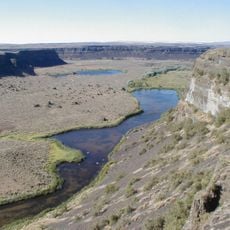
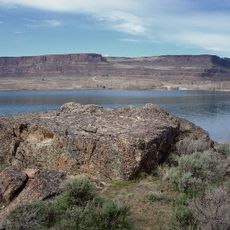
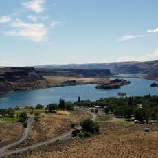
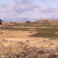
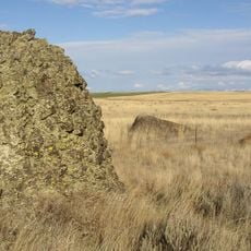
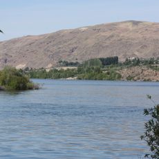
Lake Lenore Caves State Park is a natural area spanning 155 acres of basalt cliffs that contain multiple shallow caves. These formations were carved out by ancient floods that swept through the landscape thousands of years ago.
The area took shape during the Missoula Floods of the last Ice Age, when powerful water surges eroded the basalt rock. These massive events created the distinctive landscape features that remain visible today.
The caves served as shelters and hunting grounds for the peoples who lived in this region for centuries. You can still find signs of their presence scattered throughout the rock formations and cave interiors.
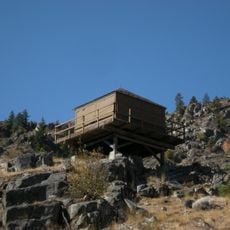
The walking path is about 2 kilometers round trip and starts with steep steps before flattening out through sagebrush vegetation to reach the first cave. A Discover Pass is required to enter the area, and sturdy hiking shoes are recommended due to the uneven ground.
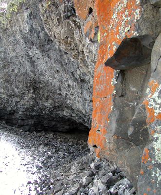
The largest cave sits about one kilometer from the trailhead and drops about 3 to 6 meters deep into the rock. Its walls are covered with distinctive lichen patterns that give the cave a unique appearance.
The community of curious travelers
AroundUs brings together thousands of curated places, local tips, and hidden gems, enriched daily by 60,000 contributors worldwide.