Chest opened
+${chestReward.xp} XP
Explorer
NOUVEAU ×${chestReward.collectible.quantity}
tapez pour fermer

See the monuments around you in AR Open chests in the app

Around Us is built for your phone — point your camera at the streets and discover the monuments and places around you in augmented reality. Around Us is built for your phone — chests unlock when you walk, explore and capture nearby places.

Enable Location

We need your location to show you interesting places around you

Discover nearby places

Find interesting locations and hidden gems around you

Precise directions

Get accurate directions and distances to places

Your location is never shared with other users. It's only used when you tap the location button.

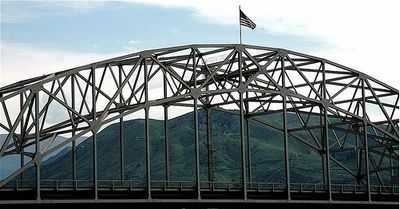
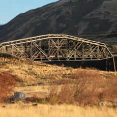
Senator George Sellar Bridge

Log in to your account

Start exploring — it's free

Trusted by 85,405 travelers worldwide

Continue with Google
Continue with Apple
or

We will send you a code to connect

By continuing, you accept our Terms and Conditions and our Privacy Policy

Check your inbox

We've sent a pincode in your inbox. Please enter the code below.

Discussion Reviews 1 Photos
2.2k Popularity

Senator George Sellar Bridge, Tied-arch bridge in East Wenatchee, United States

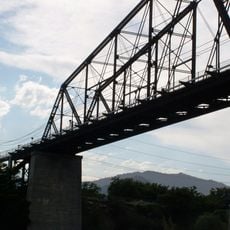
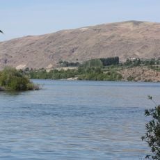
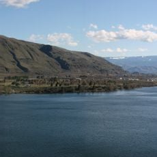
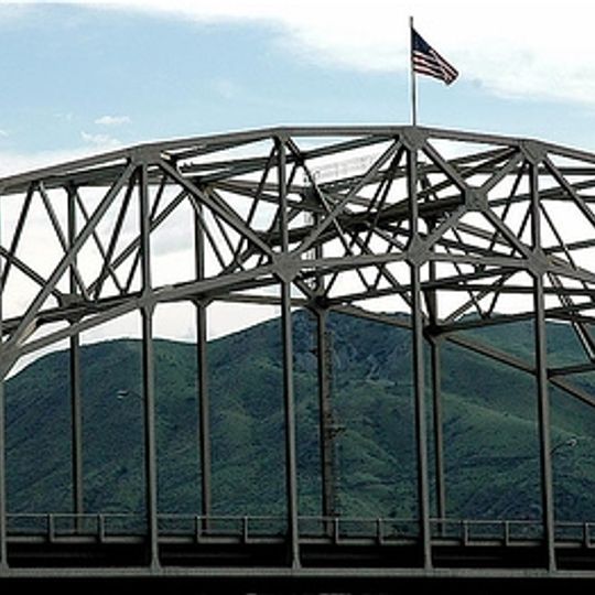
The Senator George Sellar Bridge spans the Columbia River using a steel arch between two concrete piers, with five lanes for vehicle traffic. Cantilever sections extend outward to concrete supports that sit high on each riverbank.

The bridge was built in 1950 and replaced an older structure that served the site since 1908. Its steel design earned recognition from the American Institute of Steel Construction for engineering excellence.

The bridge links communities across the Columbia River and makes daily travel possible between the towns on each bank. It represents how engineering works shaped the area's growth and connection.

The bridge underwent renovation in 2009 and remains an active roadway with regular traffic across it. Visitors should be aware that walking or stopping on the structure requires caution due to vehicle movement.

The structure uses a tied-arch design where cables bind the arch to the bridge deck itself. This method allows for long spans across the river without needing massive supports in the middle of the water.

The community of curious travelers

AroundUs brings together thousands of curated places, local tips, and hidden gems, enriched daily by 60,000 contributors worldwide.
Start exploring
Location
Official opening
1950
GPS coordinates
47.41000,-120.29500
Latest update
August 30, 2026 13:00
Around this place
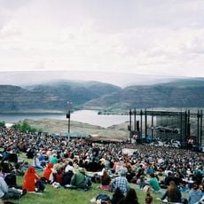
The Gorge Amphitheatre
United States of America

The Gorge Amphitheatre

25.6 mi
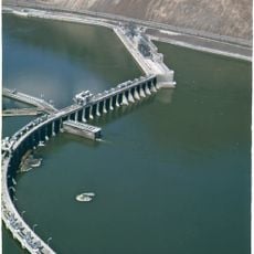
Rock Island Dam
United States of America

Rock Island Dam

10.5 mi
Lincoln Rock State Park
United States of America

Lincoln Rock State Park

6.7 mi
Dragontail Peak
United States of America

Dragontail Peak

25.6 mi
Daroga State Park
United States of America

Daroga State Park

15.1 mi
Leavenworth Ski Hill
United States of America

Leavenworth Ski Hill

22.5 mi
Columbia River Bridge
United States of America

Columbia River Bridge

0.3 mi
Wenatchee Confluence State Park
United States of America

Wenatchee Confluence State Park

3.7 mi
Peshastin Pinnacles State Park
United States of America

Peshastin Pinnacles State Park

13.9 mi
Lake Entiat
United States of America

Lake Entiat

23.1 mi
Squilchuck State Park
United States of America

Squilchuck State Park

7.8 mi
Wenatchee Valley Museum & Cultural Center
United States of America

Wenatchee Valley Museum & Cultural Center

1.1 mi
Rock Island Railroad Bridge
United States of America

Rock Island Railroad Bridge

7.3 mi
Richard Odabashian Bridge
United States of America

Richard Odabashian Bridge

4.4 mi
Downtown Wenatchee Historic District
United States of America

Downtown Wenatchee Historic District

1.2 mi
Leavenworth Adventure Park
United States of America

Leavenworth Adventure Park

21.6 mi
Leavenworth Ranger Station
United States of America

Leavenworth Ranger Station

21.4 mi
Pangborn-Herndon Memorial Site
United States of America

Pangborn-Herndon Memorial Site

2.4 mi
Enchantment Beach
United States of America

Enchantment Beach

21.2 mi
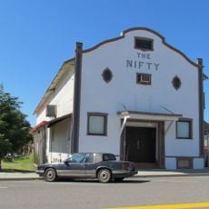
Nifty Theatre
United States of America

Nifty Theatre

19.5 mi
Douglas County Courthouse
United States of America

Douglas County Courthouse

19.5 mi
Der Ritter
United States of America

Der Ritter

21.6 mi
Chelan Butte Lookout
United States of America

Chelan Butte Lookout

20.2 mi
Badger Mountain Lookout
United States of America

Badger Mountain Lookout

20.1 mi
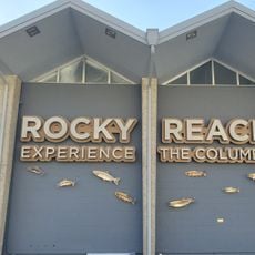
Rocky Reach Dam Discovery Center
United States of America

Rocky Reach Dam Discovery Center

8.4 mi
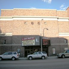
Liberty Theatre
United States of America

Liberty Theatre

1.3 mi
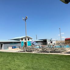
Quincy Aquatic Center
United States of America

Quincy Aquatic Center

24.7 mi
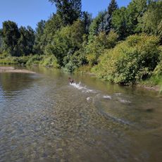
Shore Street River Access
United States of America

Shore Street River Access

20.6 mi
Show the full map
Reviews
Share your experience

No review yet

Discussions
Start a discussion...

No discussion yet

« Senator George Sellar Bridge - Tied-arch bridge in East Wenatchee, United States » is provided by Around Us (aroundus.com). Images and texts are derived from Wikimedia project under a Creative Commons license. You are allowed to copy, distribute, and modify copies of this page, under the conditions set by the license, as long as this note is clearly visible.

Discover hidden gems everywhere you go!

From secret cafés to breathtaking viewpoints, skip the crowded tourist spots and find places that match your style. Our app makes it easy with voice search, smart filtering, route optimization, and insider tips from travelers worldwide. Download now for the complete mobile experience.
Around Us App Screenshot

A unique approach to discovering new places

Le Figaro

All the places worth exploring

France Info

A tailor-made excursion in just a few clicks

20 Minutes

Around Us
Travel Guide & Maps
Download

Send to your phone

QR Code
1

Open the camera app on your mobile.

2

Point at the QR code with your camera. A notification will appear.

3

Tap the notification to open the link.