Sims Corner Eskers and Kames, National Natural Landmark on the Waterville Plateau, Douglas County, Washington, United States
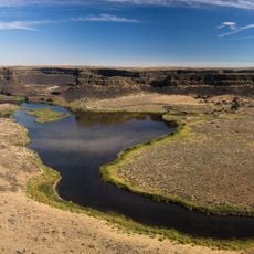
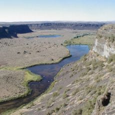
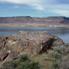
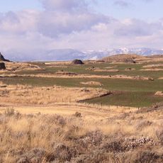
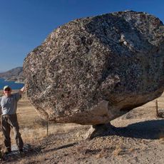
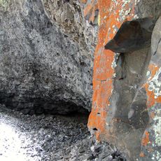
Sims Corner Eskers and Kames is a National Natural Landmark on the Waterville Plateau in Douglas County, Washington. It preserves ice-stagnation landforms left by the Okanogan lobe of the Cordilleran Ice Sheet: eskers, kames, terminal moraines and glacial erratics. The plateau surface is underlain by Columbia River Basalt, exposed at the edges of Grand Coulee and Moses Coulee by the Missoula Floods.
The landforms record the Okanogan lobe of the Cordilleran Ice Sheet, which pushed south over the Waterville Plateau and stood as much as 3 km thick north of Grand Coulee. As the ice stagnated and melted, it left eskers, kames, terminal moraines and glacial erratics. The plateau's basalt bedrock belongs to the Columbia River Basalt Group, erupted mainly 17–14 million years ago, and was later exposed by the Missoula Floods.
The landmark's name comes from the Sims Corner locality on the Waterville Plateau, and its landforms are read as a record of the Okanogan lobe of the Cordilleran Ice Sheet. As the lobe advanced, it blocked the Columbia River and forced Glacial Lake Columbia to spill successively through Foster Coulee, Moses Coulee and finally Grand Coulee. The nearby McNeil Canyon Haystack Rocks and Boulder Park landmarks are grouped with it as glacial features of Douglas County.
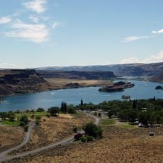
The landmark lies on the Waterville Plateau in Douglas County, north central Washington, with McNeil Canyon Haystack Rocks and Boulder Park nearby. The terrain is open plateau farmland and range, so there are no marked trails or facilities; navigation depends on map and compass. Access is by unpaved county roads, and the exposed basalt layers are best seen along the coulee edges at Grand Coulee and Moses Coulee.
The landmark's name comes from the Sims Corner locality on the Waterville Plateau, and the site is grouped with two nearby landmarks, McNeil Canyon Haystack Rocks and Boulder Park, as Pleistocene glacial examples. Grooves cut into exposed granite bedrock northwest of the coulee still record the direction the ice moved.
The community of curious travelers
AroundUs brings together thousands of curated places, local tips, and hidden gems, enriched daily by 93,783 contributors worldwide.