Sun Lakes-Dry Falls State Park, Geological formation and state park in Grant County, United States.
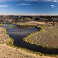
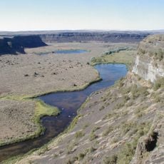
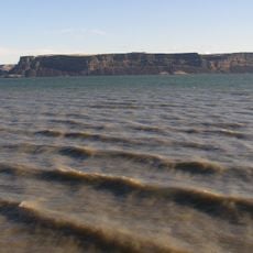
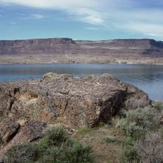
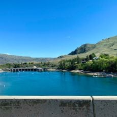
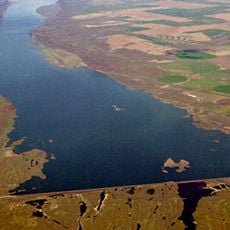
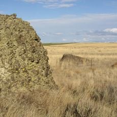
Sun Lakes-Dry Falls State Park covers 3,774 acres along Route 17 at the head of the Lower Grand Coulee, three miles west of Coulee City. Its centerpiece is Dry Falls, a 400-foot-high, 3.5-mile-wide cliff that was the site of a waterfall during the Missoula Floods. Umatilla Rock, a basalt outcrop that resisted the floods, stands downstream between the falls and the resort.
Washington began buying land for the park between 1933 and 1972, assembling fifteen parcels from the Bureau of Land Management, the Department of Natural Resources and private owners. In 1938 the Civilian Conservation Corps built the stone walls and the Dry Falls lookout called Vista House, plus a residence and water pump house. Camp Delany was added in 1956, the resort buildings in 1959 and the interpretive center in 1965.
The interpretive center overlooking Dry Falls, built in 1965, holds exhibits on the area's geology. It explains the Missoula Floods, when a waterfall ten times the size of Niagara Falls poured over the 400-foot cliff.
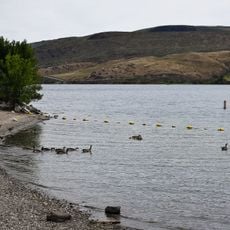
The park offers camping facilities with various amenities as well as day-use areas with parking and picnic spots. A day pass is needed to enter, and the best season to visit is summer when roads and trails are fully accessible.
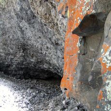
Umatilla Rock, a basalt outcrop downstream of the falls, resisted the flood erosion that carved the surrounding coulee. A five-mile round-trip trail circles its base, with a side route climbing through a notch on the northeast side; the trailhead is reached by dirt road near the rock's southwest end.
The community of curious travelers
AroundUs brings together thousands of curated places, local tips, and hidden gems, enriched daily by 93,784 contributors worldwide.