Chest opened
+${chestReward.xp} XP
Explorer
NOUVEAU ×${chestReward.collectible.quantity}
tapez pour fermer

See the monuments around you in AR Open chests in the app

Around Us is built for your phone — point your camera at the streets and discover the monuments and places around you in augmented reality. Around Us is built for your phone — chests unlock when you walk, explore and capture nearby places.

Enable Location

We need your location to show you interesting places around you

Discover nearby places

Find interesting locations and hidden gems around you

Precise directions

Get accurate directions and distances to places

Your location is never shared with other users. It's only used when you tap the location button.

Crab Creek

Log in to your account

Start exploring — it's free

Trusted by 85,013 travelers worldwide

Continue with Google
Continue with Apple
or

We will send you a code to connect

By continuing, you accept our Terms and Conditions and our Privacy Policy

Check your inbox

We've sent a pincode in your inbox. Please enter the code below.

Crab Creek
Discussion Reviews 1 Photos
5.9k Popularity

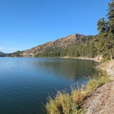
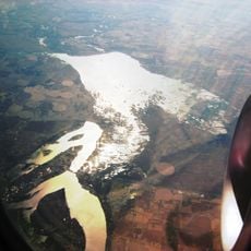
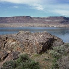
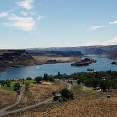
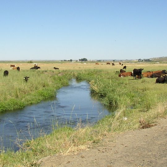
Crab Creek, Brook in central Washington, United States

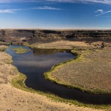
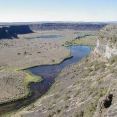
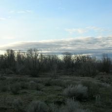
Crab Creek is a brook that flows through public lands in central Washington, fed by a year-round stream. Two horse corrals and stock watering facilities mark the waterway, which serves livestock operations in the area.

The creek was originally blocked by sand dunes until a major flood around 1904 cleared these obstacles and allowed continuous flow. This geological shift connected the waterway permanently to the Columbia River system.

Indigenous Spokane and Palouse peoples established important trails along the creek, utilizing its waters for food gathering and transportation routes.

The creek water is unsuitable for human consumption, so visitors should bring their own drinking water. The water facilities present are designed mainly for livestock and not intended for travelers.

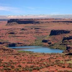
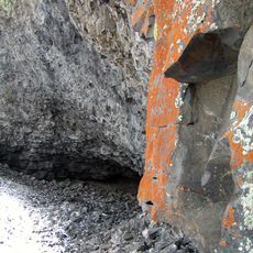
The landscape surrounding the creek bears traces of ice age floods that shaped the entire Columbia Basin. These erosional patterns are visible in the geological formations and tell the story of the region's dramatic ancient past.

The community of curious travelers

AroundUs brings together thousands of curated places, local tips, and hidden gems, enriched daily by 60,000 contributors worldwide.
Start exploring
GPS coordinates
47.33537,-118.71890
Latest update
August 30, 2026 13:11
Around this place
Grand Coulee Dam
United States of America

Grand Coulee Dam

44.7 mi
Dry Falls
United States of America

Dry Falls

35.1 mi
Grand Coulee
United States of America

Grand Coulee

33.9 mi
Banks Lake
United States of America

Banks Lake

40.8 mi
Franklin D. Roosevelt Lake
United States of America

Franklin D. Roosevelt Lake

44.6 mi
Moses Lake
United States of America

Moses Lake

32.2 mi
Steamboat Rock State Park
United States of America

Steamboat Rock State Park

39.6 mi
Sun Lakes-Dry Falls State Park
United States of America

Sun Lakes-Dry Falls State Park

35 mi
Potholes State Park
United States of America

Potholes State Park

37.1 mi
Potholes Reservoir
United States of America

Potholes Reservoir

36.3 mi
Drumheller Channels National Natural Landmark
United States of America

Drumheller Channels National Natural Landmark

33.5 mi
Abraham Lincoln
United States of America

Abraham Lincoln

37.7 mi
Fort Spokane
United States of America

Fort Spokane

44.4 mi
Lake Lenore Caves State Park
United States of America

Lake Lenore Caves State Park

38.4 mi
Grand Coulee Bridge
United States of America

Grand Coulee Bridge

45.3 mi
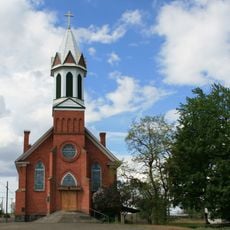
Mary Queen of Heaven Roman Catholic Church
United States of America

Mary Queen of Heaven Roman Catholic Church

35 mi
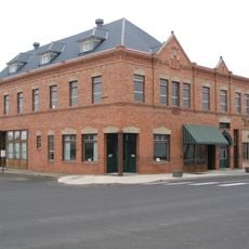
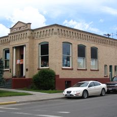
Harrington Bank Block & Opera House
United States of America

Harrington Bank Block & Opera House

23.9 mi
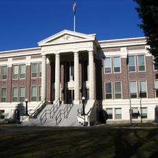
Grant County Courthouse
United States of America

Grant County Courthouse

39.1 mi
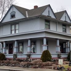
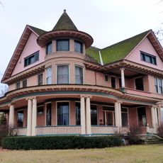
Dr. Frank R. Burroughs House
United States of America

Dr. Frank R. Burroughs House

21.5 mi
Nelson H. Greene House
United States of America

Nelson H. Greene House

21.8 mi
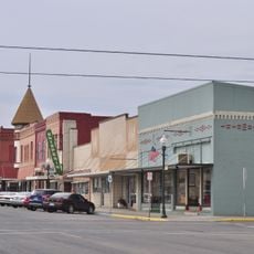
Ritzville Historic District
United States of America

Ritzville Historic District

21.5 mi
Ritzville Carnegie Library
United States of America

Ritzville Carnegie Library

21.5 mi
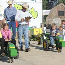
Grant County Fairgrounds
United States of America

Grant County Fairgrounds

30.7 mi
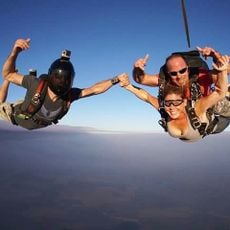
Skydive West Plains
United States of America

Skydive West Plains

23.5 mi
Seivers Brothers Ranchhouse and Barn
United States of America

Seivers Brothers Ranchhouse and Barn

30.9 mi
Moses Lake Museum & Art Center
United States of America

Moses Lake Museum & Art Center

29.7 mi
Ritz Theatre
United States of America

Ritz Theatre

21.4 mi
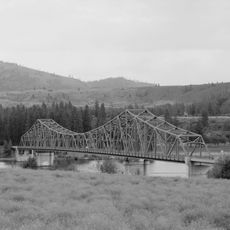
Spokane River Bridge at Fort Spokane
United States of America

Spokane River Bridge at Fort Spokane

43.8 mi
Show the full map
Reviews
Share your experience

No review yet

Discussions
Start a discussion...

No discussion yet

« Crab Creek - Brook in central Washington, United States » is provided by Around Us (aroundus.com). Images and texts are derived from Wikimedia project under a Creative Commons license. You are allowed to copy, distribute, and modify copies of this page, under the conditions set by the license, as long as this note is clearly visible.

Discover hidden gems everywhere you go!

From secret cafés to breathtaking viewpoints, skip the crowded tourist spots and find places that match your style. Our app makes it easy with voice search, smart filtering, route optimization, and insider tips from travelers worldwide. Download now for the complete mobile experience.
Around Us App Screenshot

A unique approach to discovering new places

Le Figaro

All the places worth exploring

France Info

A tailor-made excursion in just a few clicks

20 Minutes

Around Us
Travel Guide & Maps
Download

Send to your phone

QR Code
1

Open the camera app on your mobile.

2

Point at the QR code with your camera. A notification will appear.

3

Tap the notification to open the link.