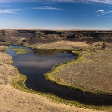
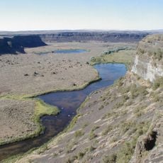
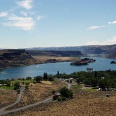
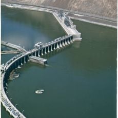
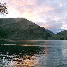
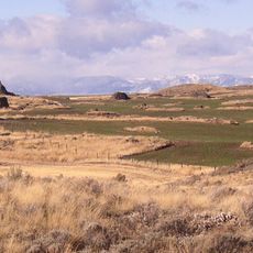
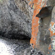
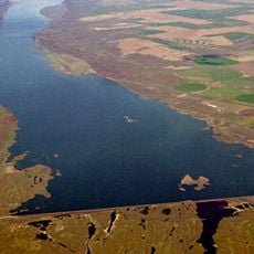
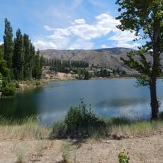
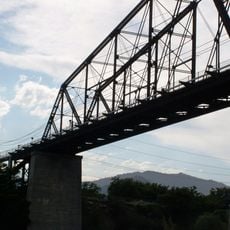
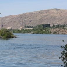
Moses Coulee, National Natural Landmark canyon in Douglas County, Washington, US.
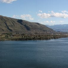
Moses Coulee is a deep canyon that cuts through the Waterville Plateau, extending roughly 30 kilometers west from Grand Coulee toward the Columbia River. The landscape features dry shrubland and sagebrush vegetation that dominate this section of the Columbia Plateau.
Moses Coulee began as a pre-glacial drainage basin before outburst floods with discharges over 600,000 m3/s carved the canyon. Its origin remains debated: some researchers attribute it to glacial Lake Missoula floods, others to subglacial floods from the Okanogan Lobe. The Okanogan Lobe later blocked the coulee, diverting the Columbia River into what became Grand Coulee. Two National Natural Landmarks were designated in 1986.
The canyon takes its name from Chief Moses (1829–99), a leader of the Columbia Plateau peoples. Two National Natural Landmarks were designated here in 1986: the Great Gravel Bar of Moses Coulee, at the crossing of US Highway 2, and the Withrow Moraine and Jameson Lake Drumlin Field. Today the coulee supports a shrub-steppe ecoregion.
Visitors can explore the designated trails year-round, with spring being the best season for viewing wildflowers and spotting local wildlife. Sturdy footwear is recommended when navigating the uneven terrain.
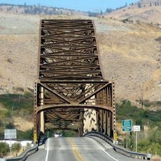
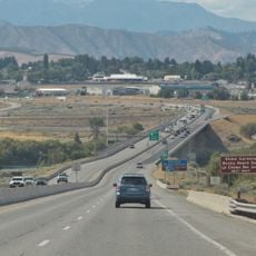
The Great Gravel Bar, where US Highway 2 crosses the coulee, is a National Natural Landmark designated in 1986. It is described as the largest and best example of a pendant river bar formed by catastrophic glacial outburst floods on the Columbia Plateau before the last Pleistocene glaciation.
The community of curious travelers
AroundUs brings together thousands of curated places, local tips, and hidden gems, enriched daily by 93,782 contributors worldwide.