Enable Location

We need your location to show you interesting places around you

Discover nearby places

Find interesting locations and hidden gems around you

Precise directions

Get accurate directions and distances to places

Your location is never shared with other users. It's only used when you tap the location button.

Loup Loup Pass

Log in to your account

Start exploring — it's free

Trusted by 62,449 travelers worldwide

Continue with Google
Continue with Apple
or

We will send you a code to connect

By continuing, you accept our Terms and Conditions and our Privacy Policy

Check your inbox

We've sent a pincode in your inbox. Please enter the code below.

Loup Loup Pass

Loup Loup Pass, Road mountain pass in Okanogan County, United States

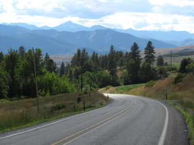
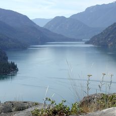
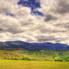
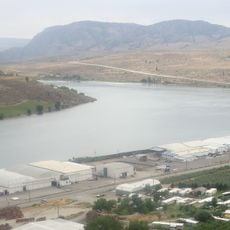
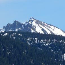
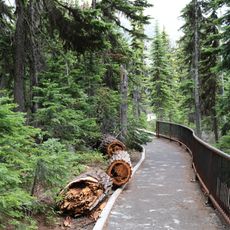
Loup Loup Pass is a mountain crossing where State Route 20 links the towns of Twisp and Okanogan in Washington State. The pass sits at about 1,225 meters (4,020 feet) elevation and serves as a key transportation corridor through the Cascade Mountains.

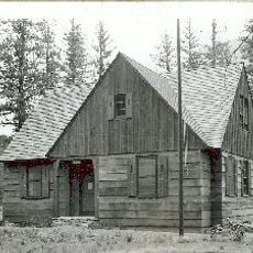
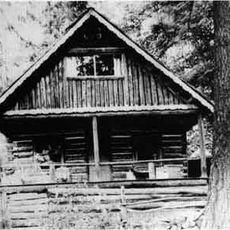
Native American tribes used this mountain passage long before settlers established it as a key transportation route. The passage was later integrated into modern road systems and continues to serve as an essential link today.

The name comes from indigenous languages and shows the connection between the land and its first peoples. Local residents keep this naming alive, connecting daily life to the region's past.

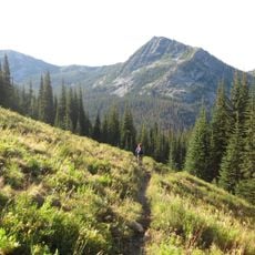
Visitors can explore ski trails of varying difficulty at Loup Loup Ski Bowl, which covers around 300 acres of terrain. The road is open year-round, though winter driving may require winter tires or chains depending on conditions.

Bear Mountain features a dedicated luge sledding facility that operates on weekends and holidays during winter months. This specialized venue provides a different kind of winter adventure compared to typical mountain activities.

The community of curious travelers

AroundUs brings together thousands of curated places, local tips, and hidden gems, enriched daily by 60,000 contributors worldwide.

Start exploring
Location
Elevation above the sea
1,225 m
GPS coordinates
48.38783,-119.89001
Latest update
December 14, 2025 18:00
Around this place
Washington pass
United States of America

Washington pass

58.5 km
Alta Lake State Park
United States of America

Alta Lake State Park

40.2 km
Wells Dam
United States of America

Wells Dam

49.3 km
Lake Chelan National Recreation Area
United States of America

Lake Chelan National Recreation Area

59.4 km
Fort Okanogan
United States of America

Fort Okanogan

34.4 km
Omak Rock
United States of America

Omak Rock

42.3 km
Conconully State Park
United States of America

Conconully State Park

21.1 km
Pearrygin Lake State Park
United States of America

Pearrygin Lake State Park

21.9 km
Bridgeport State Park
United States of America

Bridgeport State Park

46.5 km
Lake Chelan-Sawtooth Wilderness
United States of America

Lake Chelan-Sawtooth Wilderness

44.1 km
Early Winters Spires
United States of America

Early Winters Spires

58.4 km
Lake Pateros
United States of America

Lake Pateros

49.1 km
Rainbow Falls
United States of America

Rainbow Falls

60 km
Purple Point-Stehekin Ranger Station House
United States of America

Purple Point-Stehekin Ranger Station House

57.3 km
Gallaher House
United States of America

Gallaher House

45.2 km
Columbia River Bridge
United States of America

Columbia River Bridge

46.5 km
Golden West Visitor Center
United States of America

Golden West Visitor Center

57.4 km
Golden West Lodge Historic District
United States of America

Golden West Lodge Historic District

57.2 km
United States of America

Hock Mountain

57.9 km
Buckner Cabin
United States of America

Buckner Cabin

60.1 km
Early Winters Ranger Station Work Center
United States of America

Early Winters Ranger Station Work Center

46 km
George Miller House
United States of America

George Miller House

57.2 km
United States of America

Douglas Mountain

43.6 km
Washington Pass Overlook Trail
United States of America

Washington Pass Overlook Trail

58 km
Omak Theater
United States of America

Omak Theater

26.9 km
Mirage Theatre
United States of America

Mirage Theatre

26.8 km
Washington Pass Overlook
United States of America

Washington Pass Overlook

58 km
Libby Lake
United States of America

Libby Lake

37.1 km
Show the full map
« Loup Loup Pass - Road mountain pass in Okanogan County, United States » is provided by Around Us (aroundus.com). Images and texts are derived from Wikimedia project under a Creative Commons license. You are allowed to copy, distribute, and modify copies of this page, under the conditions set by the license, as long as this note is clearly visible.

Discover hidden gems everywhere you go!

From secret cafés to breathtaking viewpoints, skip the crowded tourist spots and find places that match your style. Our app makes it easy with voice search, smart filtering, route optimization, and insider tips from travelers worldwide. Download now for the complete mobile experience.

Around Us App Screenshot

A unique approach to discovering new places

Le Figaro

All the places worth exploring

France Info

A tailor-made excursion in just a few clicks

20 Minutes

Around Us
Travel Guide & Maps
Download

Send to your phone

QR Code
1

Open the camera app on your mobile.

2

Point at the QR code with your camera. A notification will appear.

3

Tap the notification to open the link.