Tulare Lake, Salt pan in San Joaquin Valley, California
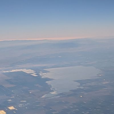
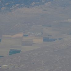
Tulare Lake sits at roughly 56 meters elevation in a flat basin, where salt deposits form a white crust across wide stretches. The flat area extends over farmland that becomes covered with water again during heavy rains.
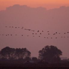
The body of water covered an area larger than Lake Tahoe in the 19th century and provided habitat for numerous fish species. Starting in the 1870s, farmers diverted water from tributaries into canals until it vanished in the 1920s.
The Yokuts fished and gathered shellfish from the waters, building villages along the shores. Their name for the water meant "flooded plain" and described how the surface expanded and contracted with the seasons.
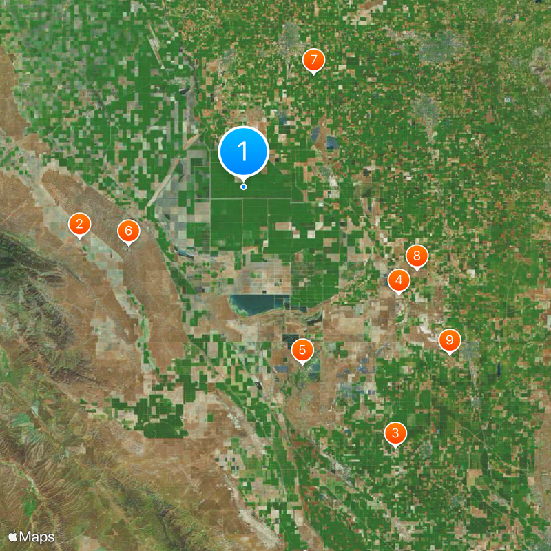
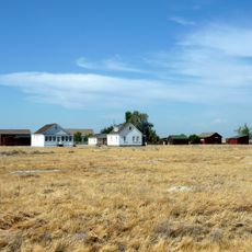
The area lies in the southern San Joaquin Valley and can be reached by rural roads that pass through farmland. Visitors planning to see the salt pan should check the season, as the ground becomes muddy and impassable after rainfall.
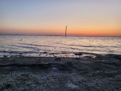
Snowmelt from the Sierra Nevada in spring 2023 brought so much water that the ground stayed flooded for months and satellites detected the area as a lake again. Anglers and birdwatchers returned to experience the temporary reappearance of open water.
The community of curious travelers
AroundUs brings together thousands of curated places, local tips, and hidden gems, enriched daily by 60,000 contributors worldwide.