
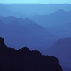
The Alligator, cliff in Coconino County, Arizona, United States of America
Grand Canyon National Park
5 km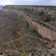
Bright Angel Trail
3.4 km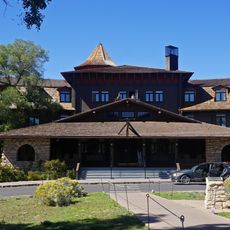
El Tovar Hotel
3.8 km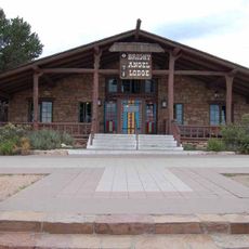
Bright Angel Lodge
3.5 km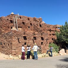
Hopi House
3.7 km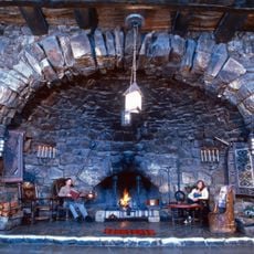
Hermit's Rest
4.2 km
Kolb Studio
3.3 km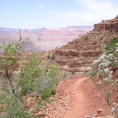
Hermit Trail
4.3 km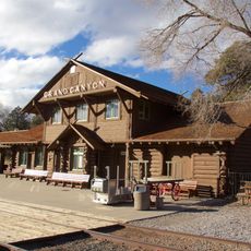
Grand Canyon Depot
3.8 km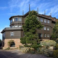
Grand Canyon Village Historic District
3.8 km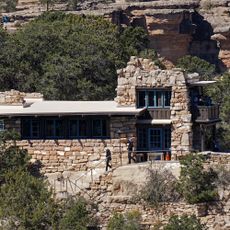
Lookout Studio
3.4 km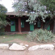
Buckey O'Neill Cabin
3.5 km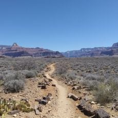
Plateau Point Trail
4.2 km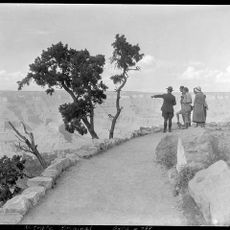
Rim Trail
2.4 km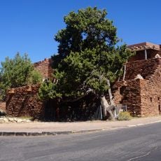
Mary Jane Colter buildings
3.4 km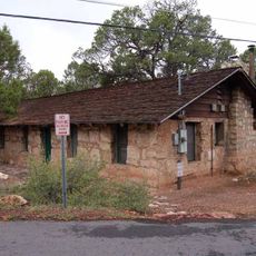
Grand Canyon South Rim Ranger's Dormitory
4 km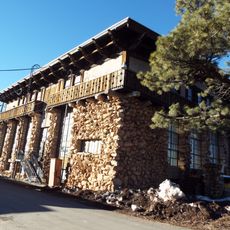
Grand Canyon Power House
3.6 km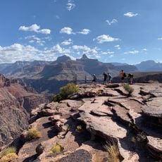
Plateau Point
5 km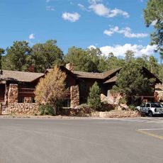
Grand Canyon National Park Superintendent's Residence
3.9 km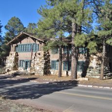
Grand Canyon Park Operations Building
3.9 km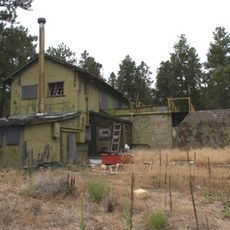
Grand Canyon Water Reclamation Plant
3.5 km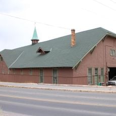
El Tovar Stables
3.7 km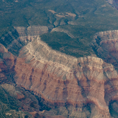
Hermit Canyon
4.2 km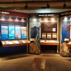
Yavapai Geology Museum
4.9 km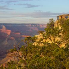
Yavapai Museum of Geology
4.9 km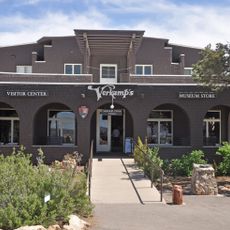
Verkamp's Visitor Center
3.8 km
Horace M. Albright Training Center
4.4 km
Bright Angel Trailhead
3.3 kmReviews
Visited this place? Tap the stars to rate it and share your experience / photos with the community! Try now! You can cancel it anytime.
Discover hidden gems everywhere you go!
From secret cafés to breathtaking viewpoints, skip the crowded tourist spots and find places that match your style. Our app makes it easy with voice search, smart filtering, route optimization, and insider tips from travelers worldwide. Download now for the complete mobile experience.

A unique approach to discovering new places❞
— Le Figaro
All the places worth exploring❞
— France Info
A tailor-made excursion in just a few clicks❞
— 20 Minutes