
Chinese Wall, cliff in Bryce Canyon National Park in Garfield County, Utah, United States
Location: Garfield County
Elevation above the sea: 7,602 ft
GPS coordinates: 37.63333,-112.15361
Latest update: March 13, 2025 17:43

Bryce Canyon National Park Scenic Trails Historic District
1.9 km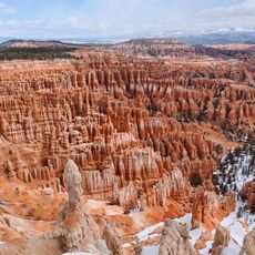
Bryce Canyon
2.1 km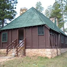
Bryce Canyon Lodge Historic District
1.5 km
Old Administration Building
1 km
Horse Barn
2.7 km
Old National Park Service Housing Historic District
1.4 km
Bryce Canyon campground comfort stations
1.1 km
Loop C Comfort Station
1.2 km
Loop D Comfort Station
1.2 km
Bryce Canyon Visitor Center
1.6 km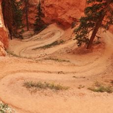
Peekaboo Loop Trail
2.3 km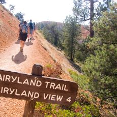
Fairyland Loop Trail
946 m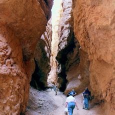
Navajo Loop Trail
1.9 km
North Campground
1.2 km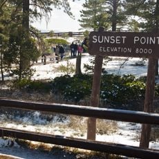
Sunset Point Overlook
1.6 km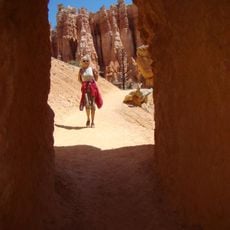
Queens Garden Trail
1.3 km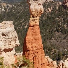
Thor's Hammer
1.6 km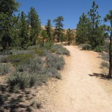
Rim Trail
942 m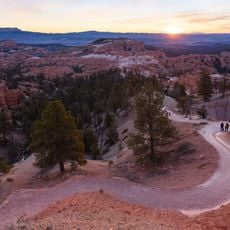
Sunrise Point
1 km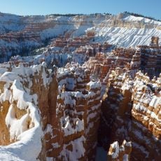
Silent City
2 km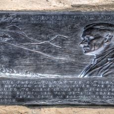
Mather Plaque in Bryce Canyon National Park
1.6 km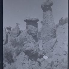
Hat Shop
4.7 km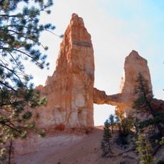
Tower Bridge
758 m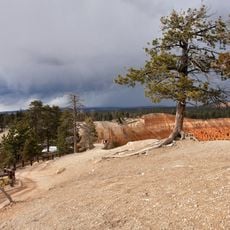
Inspiration Point Overlook
2.5 km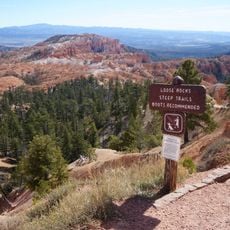
Sunset Point
1.7 km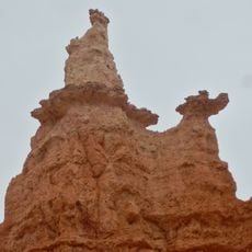
Queen Victoria
1.1 km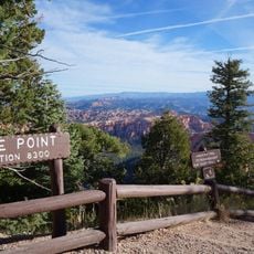
Bryce Point Overlook
3.3 km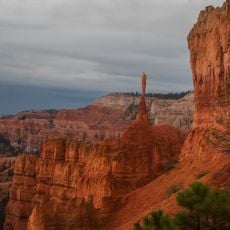
The Sentinel
1.7 kmReviews
Visited this place? Tap the stars to rate it and share your experience / photos with the community! Try now! You can cancel it anytime.
Discover hidden gems everywhere you go!
From secret cafés to breathtaking viewpoints, skip the crowded tourist spots and find places that match your style. Our app makes it easy with voice search, smart filtering, route optimization, and insider tips from travelers worldwide. Download now for the complete mobile experience.

A unique approach to discovering new places❞
— Le Figaro
All the places worth exploring❞
— France Info
A tailor-made excursion in just a few clicks❞
— 20 Minutes