Chest opened
+${chestReward.xp} XP
Explorer
NOUVEAU ×${chestReward.collectible.quantity}
tapez pour fermer
Chest locked

Open chests in the app

Around Us is built for your phone — chests unlock when you walk, explore and capture nearby places.

Enable Location

We need your location to show you interesting places around you

Discover nearby places

Find interesting locations and hidden gems around you

Precise directions

Get accurate directions and distances to places

Your location is never shared with other users. It's only used when you tap the location button.

Log in to your account

Start exploring — it's free

Trusted by 72,876 travelers worldwide

Continue with Google
Continue with Apple
or

We will send you a code to connect

By continuing, you accept our Terms and Conditions and our Privacy Policy

Check your inbox

We've sent a pincode in your inbox. Please enter the code below.

Discussion Reviews Photo
9.7k Popularity

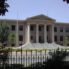
Ormsby County, Former administrative county in western Nevada, United States

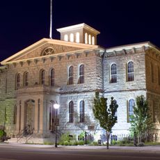
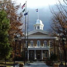
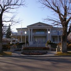
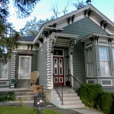
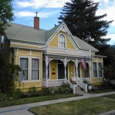
Ormsby County was an administrative county in western Nevada that encompassed a large territory with Carson City serving as its seat and the state capital. The settlement concentrated heavily in the city itself, while the surrounding areas remained sparsely populated.

The Nevada Territorial Legislature established Ormsby County on November 25, 1861, naming it after Major William Ormsby, an early settler killed near Pyramid Lake. It functioned as an administrative entity for over a century before merging with Carson City in 1969.

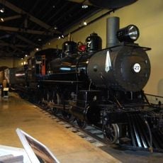
The residents of Ormsby County participated in mining operations, agricultural activities, and commercial ventures that shaped the development of western Nevada.

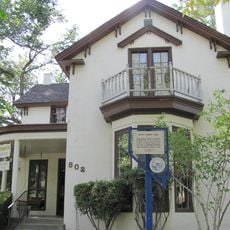
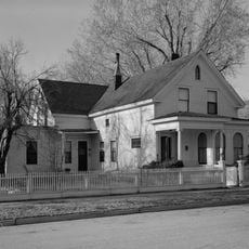
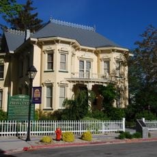
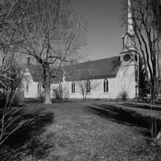
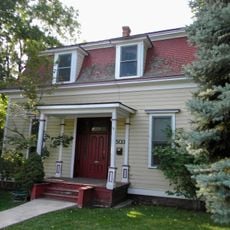
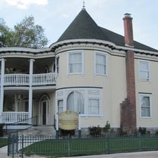
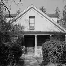
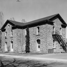
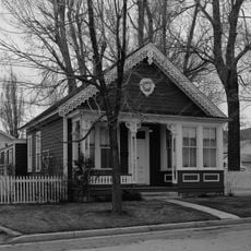
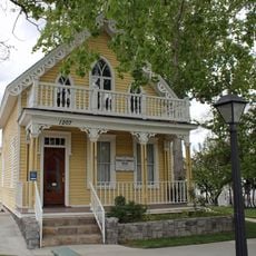
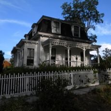
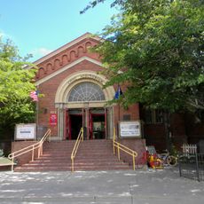
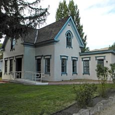
When visiting Carson City, travelers can explore the history of this former county through local museums and historical sites. The city preserves many records and artifacts from that period and provides information about the past administrative boundaries.

The county's population concentrated heavily in Carson City by 1960, with only 2,900 residents remaining in the surrounding rural areas.

The community of curious travelers

AroundUs brings together thousands of curated places, local tips, and hidden gems, enriched daily by 60,000 contributors worldwide.

Start exploring
Location
Inception
1861
GPS coordinates
39.16472,-119.77639
Latest update
March 5, 2026 18:17
Around this place
Carson City Mint
United States of America

Carson City Mint

843 m
Nevada State Capitol
United States of America

Nevada State Capitol

874 m
Nevada Governor's Mansion
United States of America

Nevada Governor's Mansion

422 m
Orion Clemens House
United States of America

Orion Clemens House

705 m
Virginia and Truckee 27
United States of America

Virginia and Truckee 27

1.8 km
Sears-Ferris House
United States of America

Sears-Ferris House

688 m
Rinckel Mansion
United States of America

Rinckel Mansion

818 m
St. Peter's Episcopal Church
United States of America

St. Peter's Episcopal Church

630 m
Dat So La Lee House
United States of America

Dat So La Lee House

770 m
Adams House
United States of America

Adams House

743 m
Dr. William Henry Cavell House
United States of America

Dr. William Henry Cavell House

356 m
Abraham Curry House
United States of America

Abraham Curry House

659 m
Carson City Public Buildings
United States of America

Carson City Public Buildings

190 m
Leport-Toupin House
United States of America

Leport-Toupin House

1.2 km
Brougher Mansion
United States of America

Brougher Mansion

366 m
Gov. James W. Nye Mansion
United States of America

Gov. James W. Nye Mansion

576 m
Nevada State Printing Office
United States of America

Nevada State Printing Office

1.1 km
David Smaill House
United States of America

David Smaill House

995 m
Foreman-Roberts House
United States of America

Foreman-Roberts House

1.2 km
Belknap House
United States of America

Belknap House

879 m
Carson City Civic Auditorium
United States of America

Carson City Civic Auditorium

1.9 km
West Side Historic District (Carson City, Nevada)
United States of America

West Side Historic District (Carson City, Nevada)

582 m
Gov. Reinhold Sadler House
United States of America

Gov. Reinhold Sadler House

384 m
William Spence House
United States of America

William Spence House

527 m
Lew M. Meder House
United States of America

Lew M. Meder House

731 m
Olcovich-Meyers House
United States of America

Olcovich-Meyers House

726 m
Ormsby-Rosser House
United States of America

Ormsby-Rosser House

619 m
Children's Museum of Northern Nevada
United States of America

Children's Museum of Northern Nevada

978 m
Show the full map
Reviews
Share your experience

No review yet

Discussions
Start a discussion...

No discussion yet

« Ormsby County - Former administrative county in western Nevada, United States » is provided by Around Us (aroundus.com). Images and texts are derived from Wikimedia project under a Creative Commons license. You are allowed to copy, distribute, and modify copies of this page, under the conditions set by the license, as long as this note is clearly visible.

Discover hidden gems everywhere you go!

From secret cafés to breathtaking viewpoints, skip the crowded tourist spots and find places that match your style. Our app makes it easy with voice search, smart filtering, route optimization, and insider tips from travelers worldwide. Download now for the complete mobile experience.

Around Us App Screenshot

A unique approach to discovering new places

Le Figaro

All the places worth exploring

France Info

A tailor-made excursion in just a few clicks

20 Minutes

Around Us
Travel Guide & Maps
Download

Send to your phone

QR Code
1

Open the camera app on your mobile.

2

Point at the QR code with your camera. A notification will appear.

3

Tap the notification to open the link.