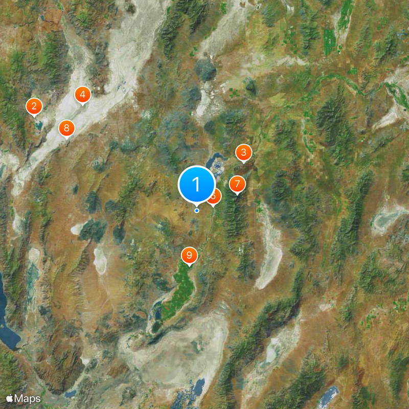
Pershing County, County in Nevada, United States
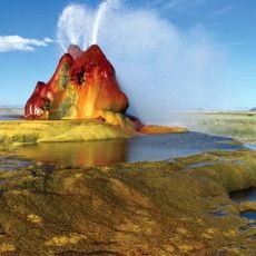
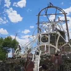
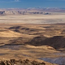
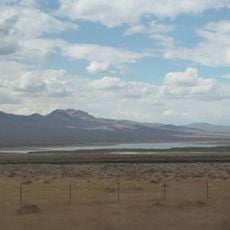
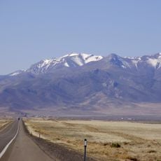
Pershing County is an administrative division in northern Nevada with mountains, deserts, and the Humboldt River running through it. The landscape features wide-open spaces and rolling terrain that stretch across the region.
The county was established in 1919 when it separated from Humboldt County and took its name from General John J. Pershing, a major military leader during World War I. This division reflected the growing need to manage the northern regions of Nevada more effectively.
The county population includes European Americans, African Americans, Native Americans, and Hispanic communities, with English as the primary language.
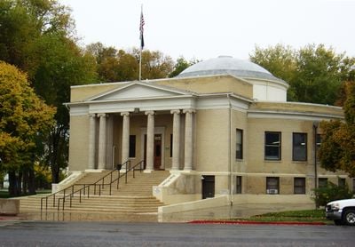
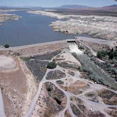
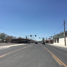
Interstate 80 and US Route 95 connect the main towns, including Lovelock, the county seat, making it easy to navigate by car. Mining sites are scattered throughout the area and accessible from the main highways.
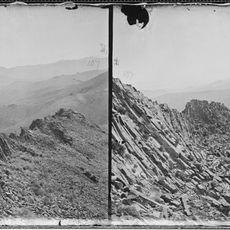
Star Peak rises above 3,000 meters and is the highest point in the region, towering over the Black Rock Desert below. This elevation creates a dramatic contrast with the flat desert landscape surrounding it.
The community of curious travelers
AroundUs brings together thousands of curated places, local tips, and hidden gems, enriched daily by 60,000 contributors worldwide.