Black Rock Desert – High Rock Canyon Emigrant Trails National Conservation Area, National Conservation Area in northwestern Nevada, United States.
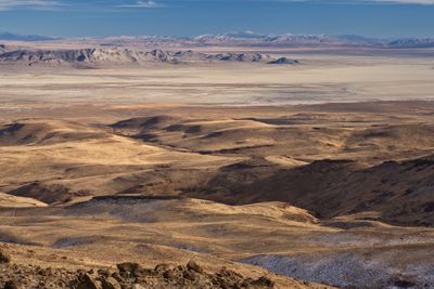
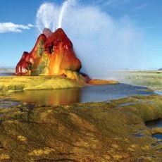
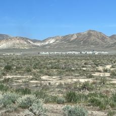
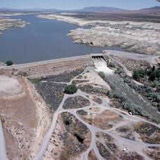
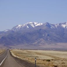
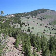
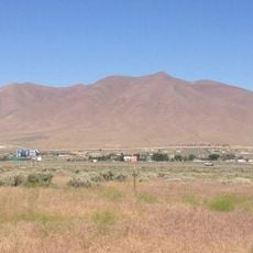
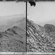
Black Rock Desert – High Rock Canyon Emigrant Trails National Conservation Area is a protected area in northwestern Nevada that covers open desert plains, deep canyon systems, volcanic rock formations, and natural hot springs. It also contains several designated Wilderness Areas, including the Calico Mountains, each with a distinct geological character.
Long before the emigrant trails of the 1800s brought settlers heading west, Indigenous peoples had been living in this region for thousands of years, relying on its water sources and wildlife. The pioneer routes that later crossed this desert became some of the most traveled corridors during westward expansion in North America.
Rock art left by Indigenous peoples can still be seen on canyon walls throughout the area, offering a direct connection to those who lived here long before the emigrant trails were established. These markings are not in museums but out in the open landscape, visible to anyone who walks the canyons.
The area is remote and has very few services, so it is worth coming fully prepared with water, food, and emergency supplies before entering. Checking in with the Bureau of Land Management office in Winnemucca before your visit is a good way to get current trail conditions and any permit requirements.
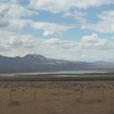
The Black Rock Desert playa, a dry lake bed at the heart of the conservation area, is one of the flattest surfaces on Earth and has been used as a course for land speed record attempts. Its surface is so level that it can serve as a natural compass reference on clear days.
The community of curious travelers
AroundUs brings together thousands of curated places, local tips, and hidden gems, enriched daily by 60,000 contributors worldwide.