Winnemucca Mountain, Mountain summit in Humboldt County, Nevada, United States.
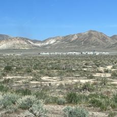
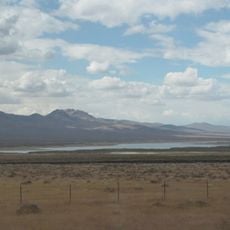
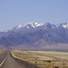
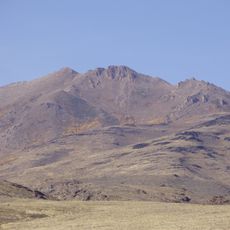
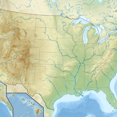
Winnemucca Mountain is the southernmost named summit of the Santa Rosa Range, rising about 587 metres above the surrounding terrain to an elevation of 2,047 metres. It stands roughly 5 kilometres northwest of the city of Winnemucca in Humboldt County, Nevada. A paved road climbs to radio facilities on the summit.
Winnemucca Mountain lies about 5 km northwest of the city of Winnemucca, which grew as a rail and trading stop in Humboldt County. The sources record no mining-era or Native American history for the summit itself; the documented event is a human-caused wildfire on June 15, 2025, which burned 2,321 acres (939 ha) and affected one structure.
The name comes from the Paiute chief Winnemucca, whose band lived in the Humboldt River valley below the mountain; the city of Winnemucca, 5.1 km southwest of the summit, carries the same name. The paved summit road ends at radio facilities, and the mountain's slopes burned in a human-caused wildfire on June 15, 2025 that covered 2,321 acres.
A paved road runs directly to facilities at the summit, making it accessible by vehicle for those who prefer not to hike. Visitors looking for a more active approach can use hiking trails that ascend from various starting points in the area.
On June 15, 2025, a human-caused wildfire burned 2,321 acres (939 ha) on Winnemucca Mountain and affected one structure. The paved road to the summit serves radio facilities, and the mountain rises about 587 metres above the surrounding terrain, roughly 5 km from the city of Winnemucca.
The community of curious travelers
AroundUs brings together thousands of curated places, local tips, and hidden gems, enriched daily by 93,132 contributors worldwide.