Enable Location

We need your location to show you interesting places around you

Discover nearby places

Find interesting locations and hidden gems around you

Precise directions

Get accurate directions and distances to places

Your location is never shared with other users. It's only used when you tap the location button.

Humboldt County

Log in to your account

Start exploring — it's free

Trusted by 62,836 travelers worldwide

Continue with Google
Continue with Apple
or

We will send you a code to connect

By continuing, you accept our Terms and Conditions and our Privacy Policy

Check your inbox

We've sent a pincode in your inbox. Please enter the code below.

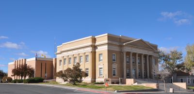
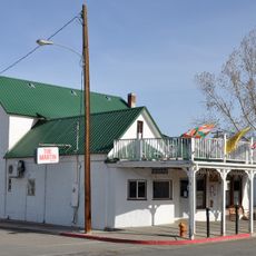
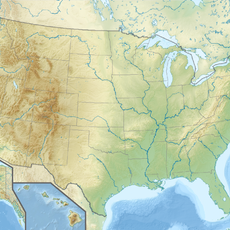
Humboldt County, Administrative division in northwestern Nevada, United States

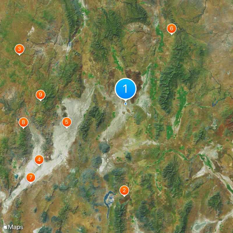
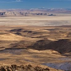
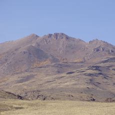
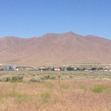
Humboldt County spans roughly 9,600 square miles across northwestern Nevada with mountain ranges, desert terrain, and sections of the Humboldt National Forest. The landscape alternates between elevated ridges and open basins throughout the region.

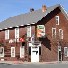
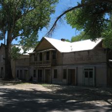
The Utah Territorial Legislature established the county in 1856 as Nevada's first county. Unionville functioned as the original seat before the region's center of gravity shifted.

The Fort McDermitt Paiute and Shoshone people and the Winnemucca Indian Colony shape the region's social fabric with their presence and traditions throughout the county.

Interstate 80 and US Route 95 intersect at Winnemucca, serving as major transportation routes across the county and connecting to neighboring states. These highways make traveling through the area straightforward for most visitors.

Thacker Pass contains the largest known lithium reserve in the United States, with mining operations that began in 2023. This mineral fuels battery production for electric vehicles worldwide.

The community of curious travelers

AroundUs brings together thousands of curated places, local tips, and hidden gems, enriched daily by 60,000 contributors worldwide.

Start exploring
Location
Inception
1856
Capital city
Winnemucca
Shares border with
Harney County, Malheur County, Owyhee County, Elko County, Lander County, Pershing County, Washoe County
GPS coordinates
41.41000,-118.12000
Latest update
December 20, 2025 15:06
Around this place
Thunder Mountain Monument
United States of America

Thunder Mountain Monument

83.5 km
Sheldon National Wildlife Refuge
United States of America

Sheldon National Wildlife Refuge

105.2 km
Black Rock Desert – High Rock Canyon Emigrant Trails National Conservation Area
United States of America

Black Rock Desert – High Rock Canyon Emigrant Trails National Conservation Area

96.1 km
United States of America

Black Rock Desert Wilderness

57.4 km
Fort McDermit
United States of America

Fort McDermit

75 km
United States of America

Trego Hot Springs

112 km
United States of America

High Rock Lake Wilderness

94.7 km
United States of America

North Black Rock Range Wilderness

76.8 km
United States of America

Calico Mountains Wilderness

102.2 km
Granite Peak
United States of America

Granite Peak

52.8 km
United States of America

South Jackson Mountains Wilderness

42 km
Winnemucca Mountain
United States of America

Winnemucca Mountain

53.5 km
United States of America

North Jackson Mountains Wilderness

29.9 km
United States of America

Pahute Peak Wilderness

78.2 km
Winnemucca Hotel
United States of America

Winnemucca Hotel

58.1 km
United States of America

Santa Rosa-Paradise Peak Wilderness

39.1 km
Martin Hotel
United States of America

Martin Hotel

58.8 km
Paradise Valley Ranger Station
United States of America

Paradise Valley Ranger Station

49.7 km
United States of America

Disaster Peak

61.5 km
Winnemucca Grammar School
United States of America

Winnemucca Grammar School

58.7 km
Micca House
United States of America

Micca House

49.9 km
Humboldt County Courthouse
United States of America

Humboldt County Courthouse

58.9 km
Winnemucca Main Post Office
United States of America

Winnemucca Main Post Office

58.5 km
United States of America

Duffer Peak

58.1 km
United States of America

Silver State Flour Mill

58 km
W.C. Record House
United States of America

W.C. Record House

58.2 km
Mine de Marigold
United States of America

Mine de Marigold

109.3 km
United States of America

Adorno Station

27.2 km
Show the full map
« Humboldt County - Administrative division in northwestern Nevada, United States » is provided by Around Us (aroundus.com). Images and texts are derived from Wikimedia project under a Creative Commons license. You are allowed to copy, distribute, and modify copies of this page, under the conditions set by the license, as long as this note is clearly visible.

Discover hidden gems everywhere you go!

From secret cafés to breathtaking viewpoints, skip the crowded tourist spots and find places that match your style. Our app makes it easy with voice search, smart filtering, route optimization, and insider tips from travelers worldwide. Download now for the complete mobile experience.

Around Us App Screenshot

A unique approach to discovering new places

Le Figaro

All the places worth exploring

France Info

A tailor-made excursion in just a few clicks

20 Minutes

Around Us
Travel Guide & Maps
Download

Send to your phone

QR Code
1

Open the camera app on your mobile.

2

Point at the QR code with your camera. A notification will appear.

3

Tap the notification to open the link.