Pahute Peak Wilderness, Protected wilderness area in Black Rock Range, Nevada, US
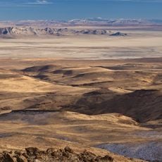
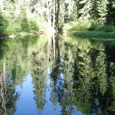
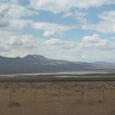
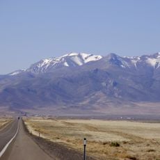
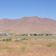
Pahute Peak Wilderness is a protected area in the Black Rock Range that spans roughly 57,400 acres with diverse landscapes ranging from 4,050 to 8,594 feet in elevation. The terrain includes dry valleys, rocky ridges, and forested slopes that create varied environments across the landscape.
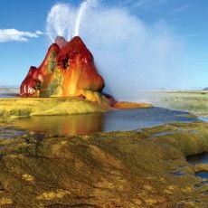
Explorer John C. Fremont traversed this region in 1843 and left his name on several landmarks, including Fremont's Castle in the southern section. This early exploration helped document the area and contributed to its later protection as a wilderness zone.
The Bureau of Land Management protects this area to maintain natural landscapes and provide opportunities for outdoor recreation without motorized interference.
Access to this area requires high-clearance vehicles, as many surrounding roads are rough dirt tracks that can be difficult to navigate. Satellite phones are necessary for communication due to very limited cell coverage throughout the region.
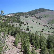
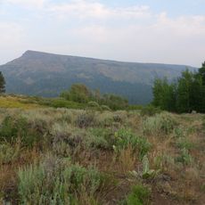
The northern slopes of the peak display different vegetation patterns with groves of aspens, mountain mahogany, and limber pines that vary by elevation and exposure. This mix of tree species creates varied forest landscapes across what is otherwise an arid high-mountain setting.
The community of curious travelers
AroundUs brings together thousands of curated places, local tips, and hidden gems, enriched daily by 60,000 contributors worldwide.