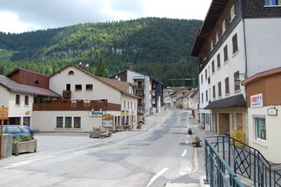
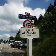
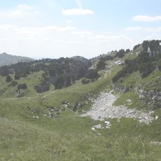
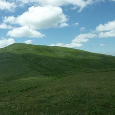
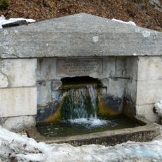
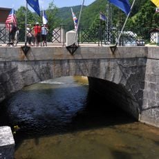
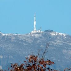
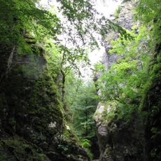
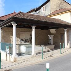
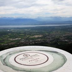
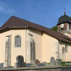
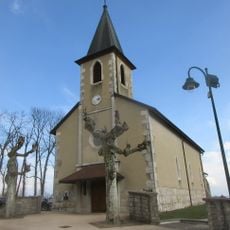
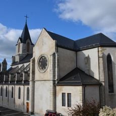
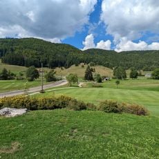
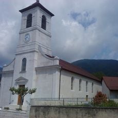
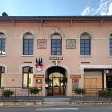
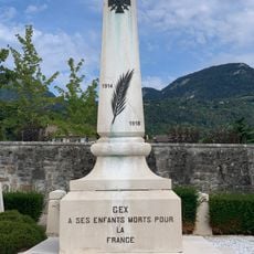
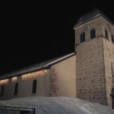
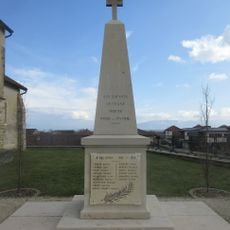
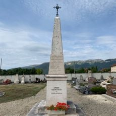
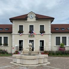
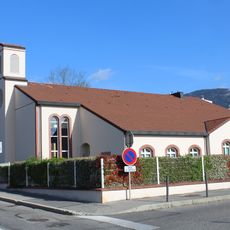
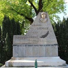
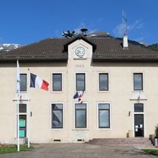
Mijoux, commune in Ain, France
Location: Ain
Location: arrondissement of Gex
Inception: July 11, 1910
Elevation above the sea: 1,198 m
Shares border with: Crozet, Divonne-les-Bains, Échenevex, Gex, Lélex, Vesancy, Lajoux, Septmoncel Les Molunes
Address: Rue Dame-Pernette, 01410 Mijoux 01410 01410
Phone: +33450413204
Email: accueil.mairie@mijoux.fr
Website: https://mijoux.fr
GPS coordinates: 46.36611,5.99528
Latest update: May 24, 2025 18:54
Col de la Faucille
1.9 km
Haut-Jura Regional Natural Park
5.1 km
Colomby de Gex
4.9 km
Fontaine Napoléon
3.9 km
Pont Charlemagne
146 m
Mont Rond
2.1 km
Portes Sarrazines
4.1 km
Fontaine de Gex
5.9 km
Lavoir de Gex
6 km
Table d'orientation de Montrond
749 m
Église Saint-Jacques-Saint-Christophe de Mijoux
210 m
Église Saint-Denis de Cessy
7.7 km
Église Saint-Pierre de Gex
6.1 km
Golf de la Valserine
2.3 km
Église Saint-Christophe de Vesancy
7.5 km
Mairie de Mijoux
117 m
WWI memorial of Cemetery of Gex
5.9 km
Église Saint-François-de-Sales de Lamoura
3.9 km
War memorial of Cessy
7.8 km
War memorial of Vesancy
7.3 km
Town hall of Cessy
7.9 km
Église de Jésus-Christ des Saints des Derniers Jours de Gex
6.3 km
War memorial of Gex
6 km
Mairie d'Échenevex
7.2 km
Town hall of Gex
6 km
Musée des Lapidaires
4.2 km
War memorial of Échenevex
7.1 km
World War II memorial of Gex
5.9 kmReviews
Visited this place? Tap the stars to rate it and share your experience / photos with the community! Try now! You can cancel it anytime.
Discover hidden gems everywhere you go!
From secret cafés to breathtaking viewpoints, skip the crowded tourist spots and find places that match your style. Our app makes it easy with voice search, smart filtering, route optimization, and insider tips from travelers worldwide. Download now for the complete mobile experience.
A unique approach to discovering new places❞
— Le Figaro
All the places worth exploring❞
— France Info
A tailor-made excursion in just a few clicks❞
— 20 Minutes