
Cieux, commune in Haute-Vienne, France
Location: canton of Nantiat
Location: Haute-Vienne
Location: arrondissement of Bellac
Elevation above the sea: 312 m
Shares border with: Blond, Oradour-sur-Glane, Chamboret, Javerdat, Montrol-Sénard, Peyrilhac, Vaulry
Phone: +33555033028
Email: mairie.cieux@wanadoo.fr
Website: https://mairiedecieux.com/fr
GPS coordinates: 45.99167,1.04528
Latest update: June 16, 2025 01:30
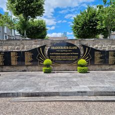
Oradour sur Glane memory centre
7 km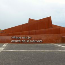
Centre de la mémoire d'Oradour
7 km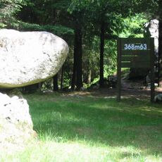
Rocher aux Oiseaux
10.1 km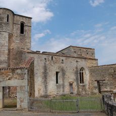
Église Saint-Martin-de-Tours d'Oradour-sur-Glane
7.1 km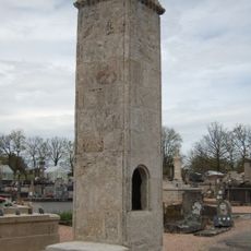
Oradour-sur-Glane cemetery
6.7 km
Château de Mortemart
8.8 km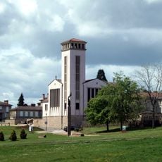
Église Saint-Martin d'Oradour-sur-Glane
6.8 km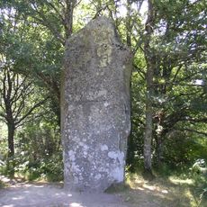
Menhir de Ceinturat
6.8 km
Couvent des Augustins de Mortemart
8.7 km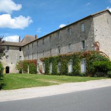
Couvent des Carmes de Mortemart
8.7 km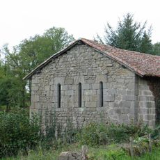
Chapelle du Bois-du-Rat
5.2 km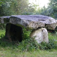
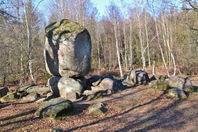
Dolmen de Rouffignac
6.7 km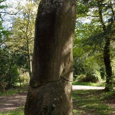
Menhir du Pic
4.8 km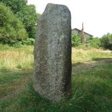
Menhir d'Arnac
5.7 kmÉglise de l'Ordination-de-Saint-Martin de Blond
6.3 km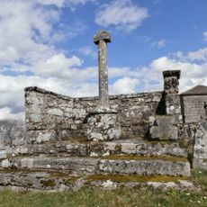
Croix hosannière de Montrol-Sénard
7.9 km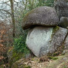
Chaos du Cep
4.7 km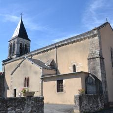
Église Saint-Sulpice
11.5 km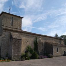
Église de Montrol-Sénard
8 km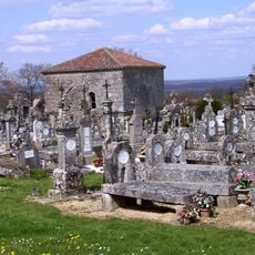
Chapelle des morts de Montrol-Sénard
7.9 km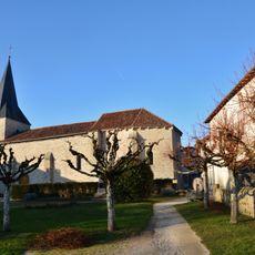
Église Saint-Blaise de Javerdat
6.2 km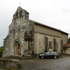
Église Saint-Bonnet de Vaulry
4.8 km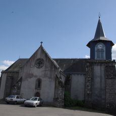
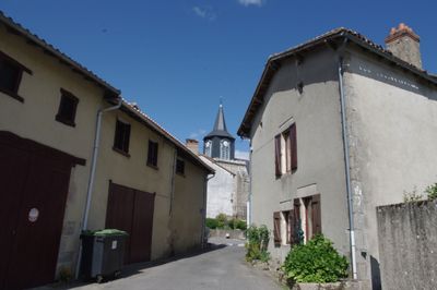
Église Saint-Pierre de Cieux
72 m
Église Saint-Antoine de Chamboret
7.1 km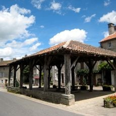
Halle de Mortemart
8.8 km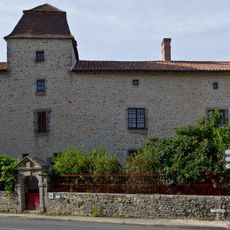
Maison du Sénéchal de Mortemart
8.9 km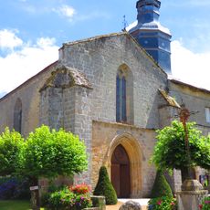
Église des Augustins de Mortemart
8.7 km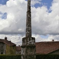
Croix de Montrol-Sénard
8 kmVisited this place? Tap the stars to rate it and share your experience / photos with the community! Try now! You can cancel it anytime.
Discover hidden gems everywhere you go!
From secret cafés to breathtaking viewpoints, skip the crowded tourist spots and find places that match your style. Our app makes it easy with voice search, smart filtering, route optimization, and insider tips from travelers worldwide. Download now for the complete mobile experience.

A unique approach to discovering new places❞
— Le Figaro
All the places worth exploring❞
— France Info
A tailor-made excursion in just a few clicks❞
— 20 Minutes