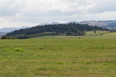
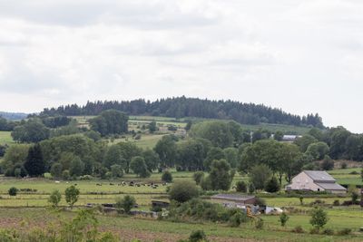
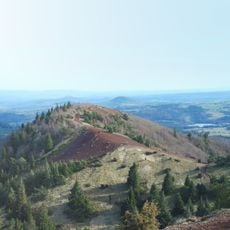
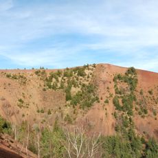
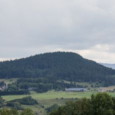
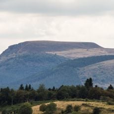
Puy de l'Enfer, Volcanic summit in Saulzet-le-Froid, France
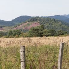
Puy de l'Enfer is a volcanic summit rising from the landscape near Saulzet-le-Froid with visible geological layers. The slopes display ash deposits, basaltic scoria, and solidified lava formations that reveal the volcanic processes that shaped this formation.
The summit was formed by volcanic eruptions that occurred around the same time as the nearby Narse d'Espinasse took shape. These eruptions were part of an intense volcanic period that affected this entire region long ago.
The name reflects local traditions connected to the marshlands surrounding it and the dark appearance of its volcanic rocks. Visitors today can see how these black stones shape the landscape and tell the story of the place.
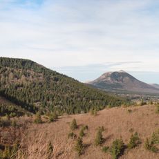
A hiking trail of about 16 kilometers starts near the picnic area on Chemin de l'Enfer and passes through several small villages along the way. Visitors should prepare for varying elevation changes and wear appropriate footwear for the walk.
The southern section of the volcano was blown away by phreatomagmatic explosions caused by magma meeting the waters of Maar d'Espinasse. This dramatic geological event is still visible today in the shape and structure of the summit.
The community of curious travelers
AroundUs brings together thousands of curated places, local tips, and hidden gems, enriched daily by 60,000 contributors worldwide.