Enable Location

We need your location to show you interesting places around you

Discover nearby places

Find interesting locations and hidden gems around you

Precise directions

Get accurate directions and distances to places

Your location is never shared with other users. It's only used when you tap the location button.

Puy de Vichatel

Log in to your account

Start exploring — it's free

Trusted by 61,914 travelers worldwide

Continue with Google
Continue with Apple
or

We will send you a code to connect

By continuing, you accept our Terms and Conditions and our Privacy Policy

Check your inbox

We've sent a pincode in your inbox. Please enter the code below.

Puy de Vichatel

Puy de Vichatel, Volcanic formation in Aydat, France

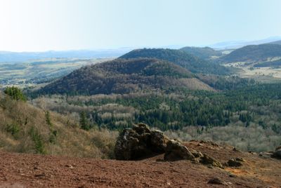
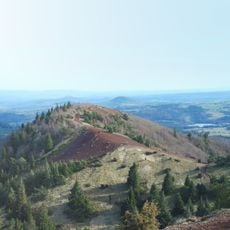
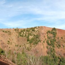
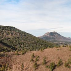
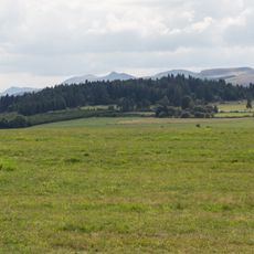
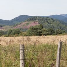
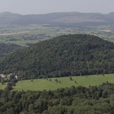
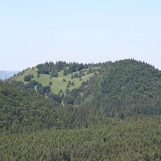
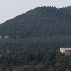
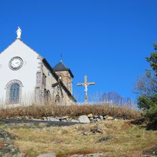
Puy de Vichatel is a volcanic cone in the Chaîne des Puys mountain chain, rising to 1095 meters above sea level. The peak features one of the deepest craters in this volcanic range and provides views across the surrounding landscape.

This volcanic cone formed from ancient eruptions thousands of years ago and has shaped the region's landscape ever since. In the 18th century, the Count of Montlosier undertook major landscaping modifications that transformed the appearance of the mountain and its surroundings.

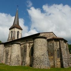
The Maison du Parc naturel régional des Volcans d'Auvergne near Puy de Vichatel educates visitors about local geology and natural heritage.

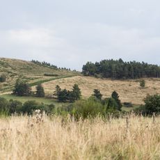
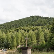
The trail starts from the parking area near road D2089 and follows well-marked paths to the summit. The walk requires comfortable hiking shoes and reasonable fitness, though the route is accessible to most walkers without technical climbing skills.

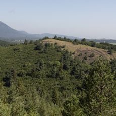
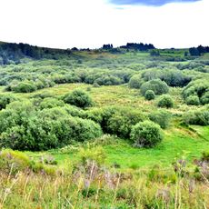
The crater contains an artificial pond created centuries ago that now provides habitat for European otters and amphibians. This unexpected water feature shows how human intervention has shaped the volcanic landscape over generations.

The community of curious travelers

AroundUs brings together thousands of curated places, local tips, and hidden gems, enriched daily by 60,000 contributors worldwide.

Start exploring
Location
Elevation above the sea
1,095 m
GPS coordinates
45.68574,2.96134
Latest update
December 13, 2025 12:40
« Puy de Vichatel - Volcanic formation in Aydat, France » is provided by Around Us (aroundus.com). Images and texts are derived from Wikimedia project under a Creative Commons license. You are allowed to copy, distribute, and modify copies of this page, under the conditions set by the license, as long as this note is clearly visible.

Discover hidden gems everywhere you go!

From secret cafés to breathtaking viewpoints, skip the crowded tourist spots and find places that match your style. Our app makes it easy with voice search, smart filtering, route optimization, and insider tips from travelers worldwide. Download now for the complete mobile experience.

Around Us App Screenshot

A unique approach to discovering new places

Le Figaro

All the places worth exploring

France Info

A tailor-made excursion in just a few clicks

20 Minutes

Around Us
Travel Guide & Maps
Download

Send to your phone

QR Code
1

Open the camera app on your mobile.

2

Point at the QR code with your camera. A notification will appear.

3

Tap the notification to open the link.