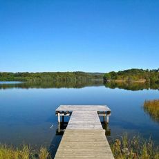
Parc Naturel Régional des Volcans d'Auvergne, Regional natural park in Auvergne, France.
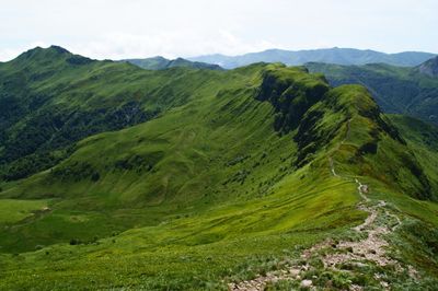
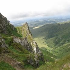
Parc Naturel Régional des Volcans d'Auvergne is a regional natural park created in 1977, covering 389,733 hectares across the Cantal and Puy-de-Dôme departments, the largest such park in metropolitan France. It groups five natural regions: the volcanic massifs of the Cantal, the Cézallier, the Monts Dôme and the Monts Dore, plus the granitic Artense plateau. Its rounded, grass-covered slopes rise between 400 and 1,885 metres, with the Puy de Sancy as the highest point.
The area was officially designated as a regional park in 1977 to protect the volcanic landscapes and rural communities. The volcanoes themselves went dormant thousands of years ago, with the last activity around 7,000 years in the past.
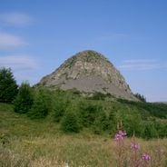
The name comes directly from the extinct volcanoes that shape the land and still influence how people live here today. Residents graze cattle on the highland pastures and draw mineral water from springs that have been part of the region for generations.
The visitor center at Château de Montlosier provides orientation and information about trails that run through all five volcanic ranges. The paths vary in length and difficulty, so it helps to plan ahead and be prepared for changing mountain weather.
The park's five natural regions are not all volcanic: the Artense is a granite plateau at about 800 m, added in 1988 for its lakes and peat bogs. The Cantal massif is a single ancient volcano 150 km around, cut by twelve or thirteen glacial valleys meeting at the puy Griou, puy Mary and Plomb du Cantal.
The community of curious travelers
AroundUs brings together thousands of curated places, local tips, and hidden gems, enriched daily by 93,500 contributors worldwide.